Old Maps of Pleasanton, Texas for Genealogy
Trace your family roots with 28 historic maps of Pleasanton. These high-res maps reveal old neighborhoods, homesites, landmarks, and streets — helping you uncover where your ancestors lived and how the area evolved over time.
- Explore historic neighborhoods: Identify where your relatives may have lived in the 1800s or 1900s.
- Compare maps over time: Trace the changes in streets, buildings, and landmarks for multi-generational research.
- Perfect for genealogy & ancestry research: Used by family historians and researchers to map out lineage and migration.
These maps are an incredible resource for exploring your personal connection to Pleasanton's past.
Pleasanton, TX maps
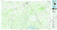
(28)- 1953 Map of Crystal City
 1953 Crystal City1953 Print · USGSSouth Texas in the early fifties was a landscape of expanding oil fields and vital rail connections. Genealogists and researchers can trace family lands along the Nueces River or locate heritage sites in Asherton, Big Wells, and Batesville.
 - 1954 Map of San Antonio, 1964 Print
 1954 San Antonio1964 Print · USGSSan Antonio and the Texas Hill Country are captured here in the mid-fifties, showing a landscape defined by massive military air bases and the rising Canyon Reservoir. Trace family ties through historic rail towns like D'Hanis and Castroville or explore the Cold War footprint of Lackland AFB and Randolph AFB.3 unique versions available
 - 1955 Map of Crystal City, 1976 Print
 1955 Crystal City1976 Print · USGSSouth Texas ranching and oil country come into focus in the mid-fifties as the rail lines and rivers connect growing hubs. Researchers can trace the development of energy fields like Washburn Oil Field or locate historic settlements from Asherton to Three Rivers.
 - 1956 Map of Pleasanton
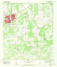
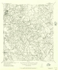 1956 Pleasanton1956 Print · USGSPleasanton and the surrounding Atascosa County ranches appear here as they were mapped between the world wars. Genealogists and local historians can trace family properties like the Coughran Ranch and find rural landmarks like Hickcock School and the Temple church.
 - 1956 Map of Jourdanton
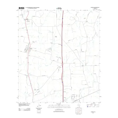
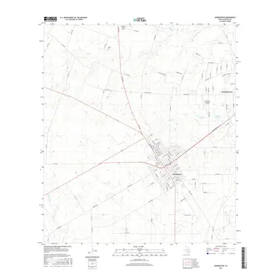
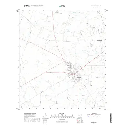
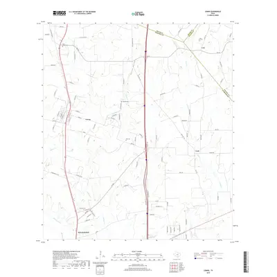
 1956 Jourdanton1956 Print · USGSMid-century Atascosa County was a hub of South Texas ranching and rail activity as shown in this 1950s record. Genealogists and historians can locate family-named landmarks like Owdens Ranch, trace the San Antonio Southern rail line, or find the site of the Tobery School.
 - 1957 Map of San Antonio
 1957 San Antonio1957 Print · USGSSan Antonio and the Texas Hill Country are shown here during the mid-fifties, capturing the region's expanding post-war military and transportation footprint. Genealogists and local historians can trace the early residential boundaries of Alamo Heights or locate rural landmarks like St Hedwig and Medina Lake.
 - 1961 Map of Crystal City
 1961 Crystal City1961 Print · USGSSouth Texas in the early sixties reveals a landscape of massive cattle ranches and emerging oil fields. Genealogists and historians can trace the Missouri Pacific rail lines through Crystal City, or locate water features like Espantosa Lake and Boynton Reservoir.
 - 1964 Map of Leming, 1966 Print
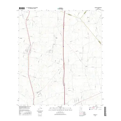
 1964 Leming1966 Print · USGSAtascosa County in the mid-sixties reveals a landscape of ranching and rail-side settlements along the Missouri Pacific. Researchers can locate several historic burial sites like St Joseph Cem and family-named landmarks like Tumlinson Cem.2 unique versions available
 - 1968 Map of Crystal City
 1968 Crystal City1968 Print · USGSSouth Texas in the late sixties reveals a landscape shaped by ranching roots and the vital waters of the Nueces River. Researchers can trace the rail-driven growth of Crystal City or locate landmarks like Pilot Knob and Espantosa Lake.
 - 1968 Map of Jourdanton, 1971 Print
 1968 Jourdanton1971 Print · USGSJourdanton in the late sixties is a thriving county seat defined by its connection to the energy industry and the natural flow of the Atascosa River. Researchers can trace the town's expansion near Mercy Hospital, locate family sites at Hilburn Cem, and map the extensive Jourdanton Oil Field.2 unique versions available
 - 1968 Map of Pleasanton, 1971 Print
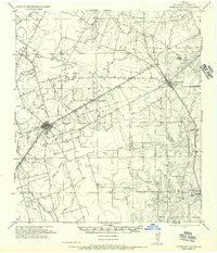
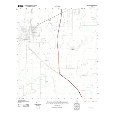
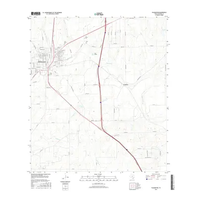
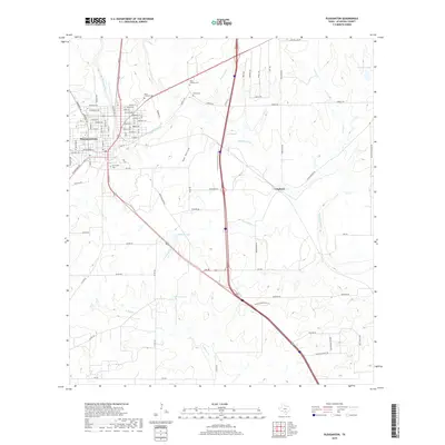
 1968 Pleasanton1971 Print · USGSAtascosa County as it appeared in the late sixties shows a mix of growing town life and active petroleum production. Family historians can locate rural landmarks like Saint Andrews Cem, the Imogene Oil Field, and the Missouri Pacific rail line.2 unique versions available
 - 1985 Map of San Antonio
 1985 San Antonio1985 Print · USGSSan Antonio and its surrounding hill country are captured in the mid-eighties during a period of significant suburban and military expansion. Genealogists and historians can trace the footprint of Kelly Air Force Base, old rail lines like the Missouri-Kansas-Texas, and smaller communities like Saspamco or Zuehl.3 unique versions available
 - 1985 Map of Pleasanton
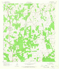
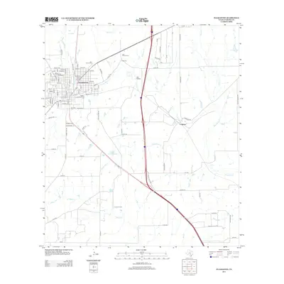
 1985 Pleasanton1985 Print · USGSSouth Texas in the mid-1980s is characterized by the rise of petroleum and new water projects like the Choke Canyon Reservoir. Genealogists and historians can trace rail-side settlements along the Missouri Pacific and rural hubs such as Amphion, Fashing, and Campbellton.2 unique versions available
 - 2010 Map of Jourdanton, 2010 Print
 2010 Jourdanton2010 Print · USGSCovers Pleasanton, including Jourdanton, Atascosa County, and other nearby areas
 - 2010 Map of Leming, 2010 Print
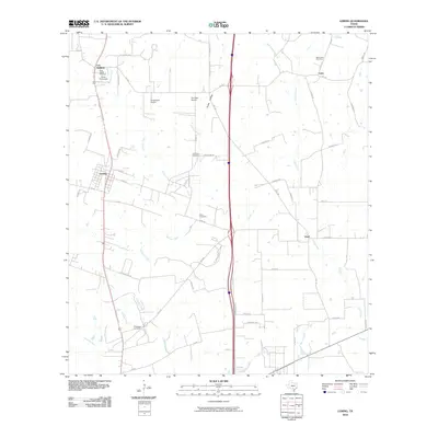 2010 Leming2010 Print · USGSCovers Pleasanton, including Leming, Loire, and other nearby areas
 - 2010 Map of Pleasanton, 2010 Print
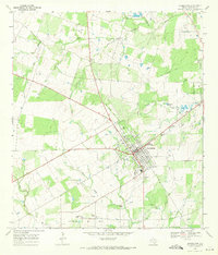
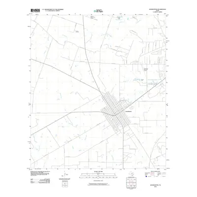
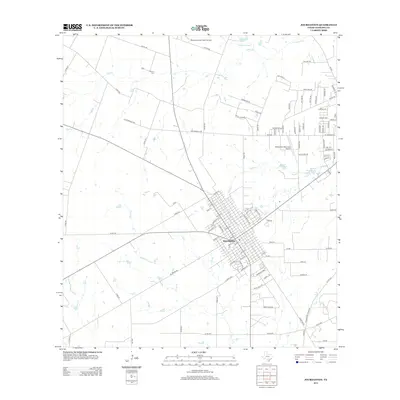
 2010 Pleasanton2010 Print · USGSCovers Pleasanton, including Coughran, Atascosa County, and other nearby areas
 - 2013 Map of Pleasanton, 2013 Print
 2013 Pleasanton2013 Print · USGSCovers Pleasanton, including Coughran, Atascosa County, and other nearby areas
 - 2013 Map of Jourdanton, 2013 Print
 2013 Jourdanton2013 Print · USGSCovers Pleasanton, including Jourdanton, Atascosa County, and other nearby areas
 - 2013 Map of Leming, 2013 Print
 2013 Leming2013 Print · USGSCovers Pleasanton, including Leming, Loire, and other nearby areas
 - 2016 Map of Pleasanton, 2016 Print
 2016 Pleasanton2016 Print · USGSCovers Pleasanton, including Coughran, Atascosa County, and other nearby areas
 - 2016 Map of Leming, 2016 Print
 2016 Leming2016 Print · USGSCovers Pleasanton, including Leming, Loire, and other nearby areas
 - 2016 Map of Jourdanton, 2016 Print
 2016 Jourdanton2016 Print · USGSCovers Pleasanton, including Jourdanton, Atascosa County, and other nearby areas
 - 2019 Map of Jourdanton, 2019 Print
 2019 Jourdanton2019 Print · USGSCovers Pleasanton, including Jourdanton, Atascosa County, and other nearby areas
 - 2019 Map of Pleasanton, 2019 Print
 2019 Pleasanton2019 Print · USGSCovers Pleasanton, including Coughran, Atascosa County, and other nearby areas
 - 2019 Map of Leming, 2019 Print
 2019 Leming2019 Print · USGSCovers Pleasanton, including Leming, Loire, and other nearby areas
Showing maps 1-25 of 28
Top cities near Pleasanton
- San Antonio historical maps
- Jourdanton historical maps
- Poteet historical maps
- Charlotte historical maps
- Leming historical maps
- Christine historical maps
Frequently asked questions
- What are the different types of historical maps available for Pleasanton?
- What is the oldest map of Pleasanton?
- Where can I purchase historical maps of Pleasanton for my home or office?
- Where can I download high-res historical maps of Pleasanton?
- Are there historical topographic maps available for Pleasanton?
- Is there historical aerial imagery available for Pleasanton?
- Where are historical maps of Pleasanton sourced from?