Old Maps of Holland, Texas for Academic Research
Study the evolution of Holland with 17 high-resolution historic maps. Whether you're teaching, researching, or modeling changes in land use, these maps provide essential visual documentation of urban, environmental, and geographic change.
- Analyze long-term change: Track patterns in development, transportation, and natural features.
- Ideal for environmental or urban studies: Support academic projects with primary historical map data.
- Use in the classroom or lab: Educators and researchers rely on these maps to bring historical context to life.
These maps are a powerful tool for teaching, research, and visualizing how Holland has changed over the decades.
Holland, TX maps
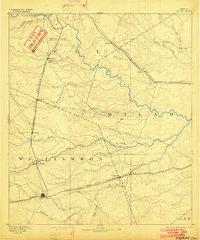
(17)- 1885 Map of Taylor
 1885 Taylor1885 Print · USGSCentral Texas in the late nineteenth century was a landscape in transition as railroads redefined the old cotton frontier. Genealogists and historians can trace the early growth of rail towns like Taylor and Granger, or find vanished rural outposts such as Ad Hall and Davilla.
 - 1887 Map of Taylor
 1887 Taylor1887 Print · USGSCentral Texas is captured in the late nineteenth century as the railroad began to redefine the blackland prairie. Genealogists can locate early settlements like Davilla and Granger or trace family lands near the San Gabriel River and Taylor.
 - 1894 Map of Taylor, 1902 Print
 1894 Taylor1902 Print · USGSCentral Texas at the end of the nineteenth century was a landscape of expanding rail lines and established river settlements. Genealogists and historians can trace the growth of Taylor and Granger, or locate smaller junctions like Ad Hall and Buckholts along the Gulf Colorado and Santa Fe Railroad.4 unique versions available
 - 1954 Map of Austin, 1964 Print
 1954 Austin1964 Print · USGSCentral Texas is captured during a period of steady growth as the capital city and its neighboring farm towns began to modernize. Researchers can trace historic rail corridors like the Southern Pacific RR or locate landmarks such as Bergstrom Air Force Base and Pilot Knob.4 unique versions available
 - 1964 Map of Holland, 1966 Print
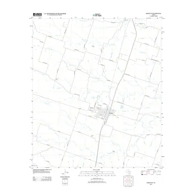
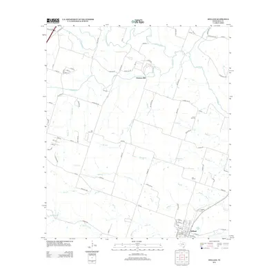
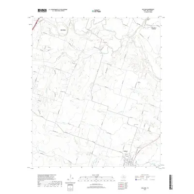
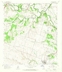 1964 Holland1966 Print · USGSCentral Texas blackland and river bottoms are captured here in the mid-1960s. Genealogists and historians can trace the MISSOURI KANSAS TEXAS rail line, locate Holland Cemetery, or find the historic Sommers Mill.2 unique versions available
 - 1964 Map of Bartlett, 1966 Print
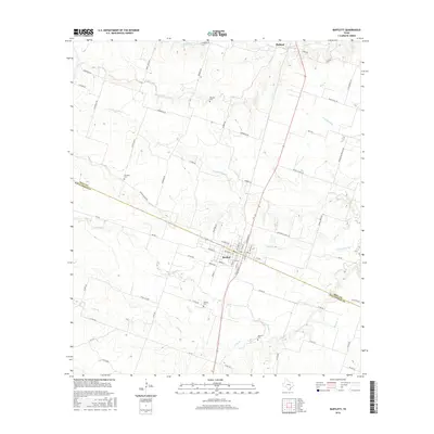
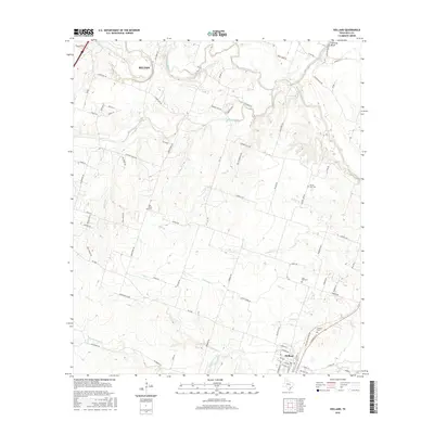
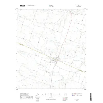
 1964 Bartlett1966 Print · USGSCentral Texas prairie life in the 1960s centers on Bartlett at the county line. Genealogists can trace family names at Stockton and Roocker cemeteries or follow the Missouri Kansas Texas rail line.2 unique versions available
 - 1985 Map of Taylor, 1986 Print
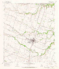
 1985 Taylor1986 Print · USGSWilliamson and Bell counties in the mid-eighties reveal a landscape where the cattle and cotton economy met burgeoning rail infrastructure. Genealogists and historians can trace the paths of the Missouri Pacific railroad through unique hamlets like Ding Dong, Frame Switch, and Beyersville.2 unique versions available
 - 2010 Map of Bartlett, 2010 Print
 2010 Bartlett2010 Print · USGSCovers Holland, including Bartlett, Williamson County, and other nearby areas
 - 2010 Map of Holland, 2010 Print
 2010 Holland2010 Print · USGSCovers Holland, including Belton, Little River-Academy, and other nearby areas
 - 2012 Map of Bartlett, 2012 Print
 2012 Bartlett2012 Print · USGSCovers Holland, including Bartlett, Williamson County, and other nearby areas
 - 2013 Map of Holland, 2013 Print
 2013 Holland2013 Print · USGSCovers Holland, including Belton, Little River-Academy, and other nearby areas
 - 2016 Map of Bartlett, 2016 Print
 2016 Bartlett2016 Print · USGSCovers Holland, including Bartlett, Williamson County, and other nearby areas
 - 2016 Map of Holland, 2016 Print
 2016 Holland2016 Print · USGSCovers Holland, including Belton, Little River-Academy, and other nearby areas
 - 2019 Map of Holland, 2019 Print
 2019 Holland2019 Print · USGSCovers Holland, including Belton, Little River-Academy, and other nearby areas
 - 2019 Map of Bartlett, 2019 Print
 2019 Bartlett2019 Print · USGSCovers Holland, including Bartlett, Williamson County, and other nearby areas
 - 2022 Map of Bartlett, 2022 Print
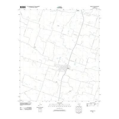
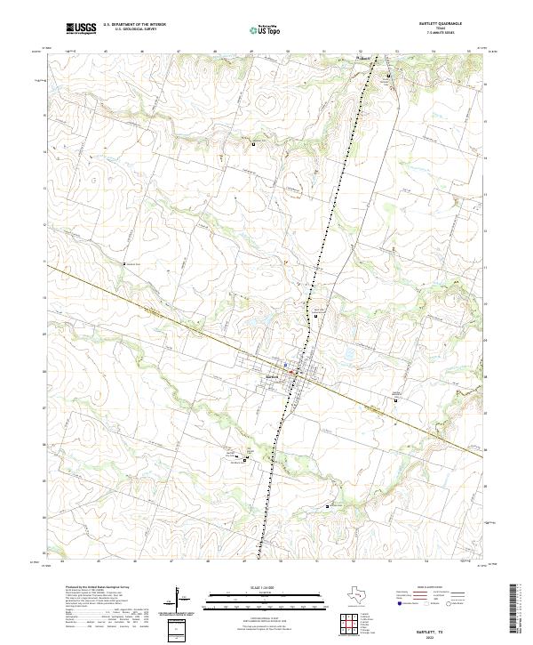 2022 Bartlett2022 Print · USGSThe Bell and Williamson County line divides this Central Texas landscape during a period of modern agricultural continuity. Genealogists can trace deep local roots through a significant cluster of burial sites, including the Czech National Cem, Old Black Cem, and German Methodist Cem.
 - 2022 Map of Holland, 2022 Print
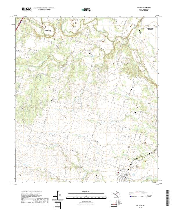 2022 Holland2022 Print · USGSBell County agriculture and river valleys come into focus in the early 2020s near the town of Holland. Genealogists can trace numerous local burial sites including Bell Plains Cem, Center Lake Cem, and the Holland Family Cem along the winding Salado Creek.
End of results
Showing maps 1-17 of 17
Top cities near Holland
- Temple historical maps
- Georgetown historical maps
- Harker Heights historical maps
- Belton historical maps
- Nolanville historical maps
- Salado historical maps
See more
Frequently asked questions
- What are the different types of historical maps available for Holland?
- What is the oldest map of Holland?
- Where can I purchase historical maps of Holland for my home or office?
- Where can I download high-res historical maps of Holland?
- Are there historical topographic maps available for Holland?
- Is there historical aerial imagery available for Holland?
- Where are historical maps of Holland sourced from?