2020s Maps of Bexar County, Texas
Explore 32 historic maps of Bexar County from the 2020s. These maps offer a rare glimpse into what life looked like during the 2020s — showing old roads, neighborhoods, homes, and landmarks that have changed or disappeared over time.
Whether you're researching your family's past, planning a metal detecting trip, or studying how Bexar County's landscape evolved across the 2020s, these high-resolution maps are a powerful tool for exploring the history of this region.
- Focus on a specific era: All maps on this page are from the 2020s, giving you a focused view of this time period.
- See what’s changed: Compare century-old streets, trails, and buildings to today's modern landscape using overlays and satellite layers.
- Research with precision: Use these maps for genealogy, historical research, land use analysis, or educational projects.
- View, download, or print: Maps are fully viewable online in high resolution, and can be downloaded or printed for your own records.
Start exploring Bexar County's history through authentic maps from the 2020s. This is your window into the past.
Bexar County, TX maps
(32)- 2022 Map of Saint Hedwig, 2022 Print
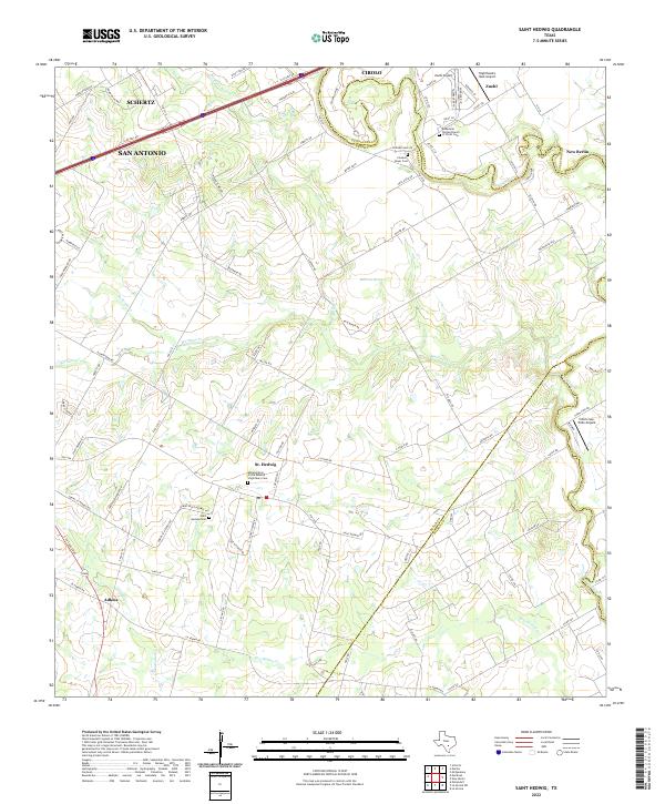 2022 Saint Hedwig2022 Print · USGSThe rolling country east of San Antonio is captured here in the early 2020s, showing a landscape of rural family roads and old parish centers. Genealogists can locate Saint Hedwig Cem and Classen Beyer Cem along the creek bottoms.
 - 2022 Map of New Berlin, 2022 Print
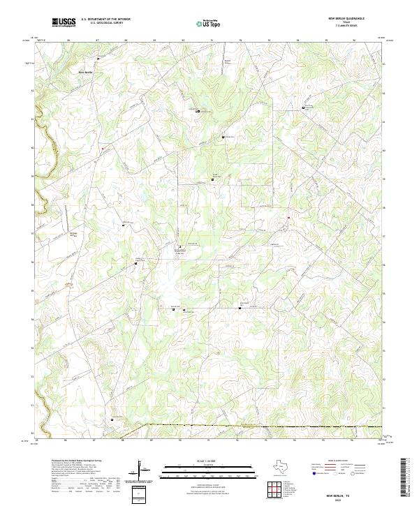 2022 New Berlin2022 Print · USGSThe community of New Berlin and its surrounding family farmsteads are captured here in the early twenty-first century. Researchers can locate many local landmarks like Sweet Home Cem, Buelah Airport, and Linne Cem.
 - 2022 Map of Camp Bullis, 2022 Print
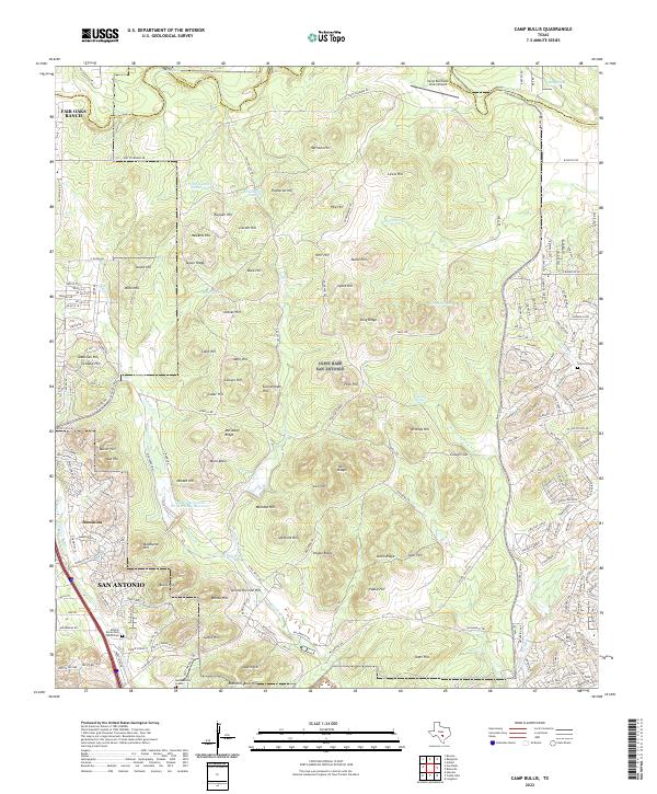 2022 Camp Bullis2022 Print · USGSBexar County's northern hill country is shown here during a period of rapid suburban growth and continued military utility. Local researchers can trace family sites like the Seidenschur Graves or explore the rugged terrain of Bullis Hill and Panther Springs.
 - 2022 Map of Boerne, 2022 Print
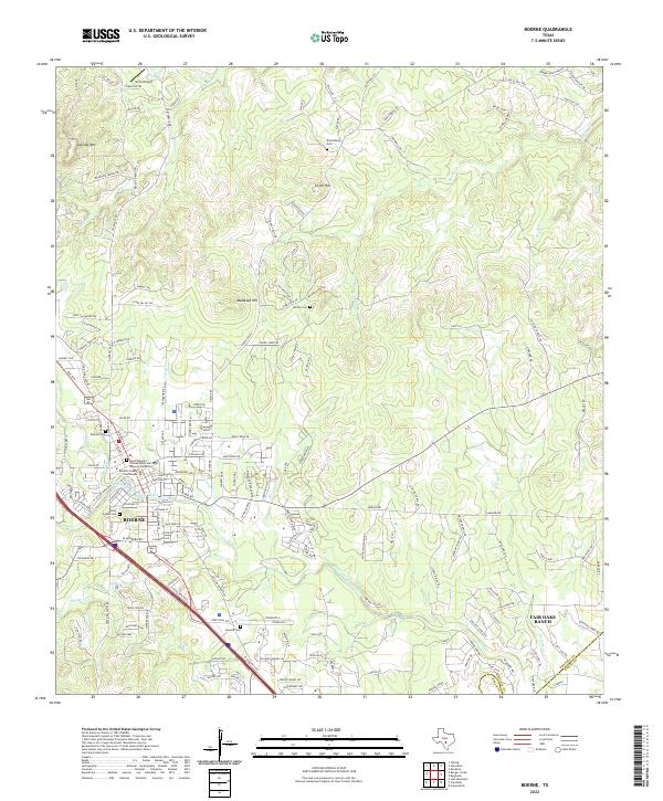 2022 Boerne2022 Print · USGSThe Boerne area in the early twenty-first century reflects a blend of Hill Country heritage and suburban growth. Researchers can trace family history at Boerne Cem and Howard Cem or locate the historic Kendall County Courthouse near Cibolo Creek.
 - 2022 Map of Losoya, 2022 Print
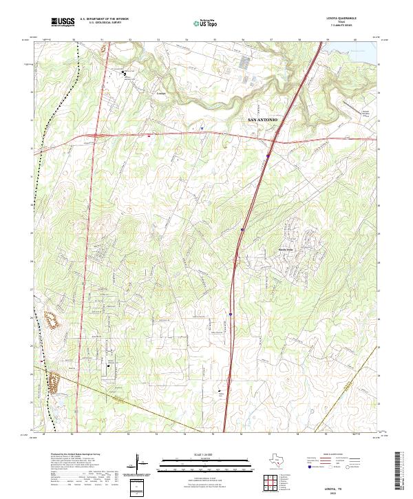 2022 Losoya2022 Print · USGSIn the southern reaches of Bexar County during the early twenty-first century, the river valleys and rural settlements maintain a distinct identity. Genealogists and historians can trace local family footprints at Herrera Cem, Barney Williams Cem, and along the banks of the Medina River.
 - 2022 Map of Bergheim, 2022 Print
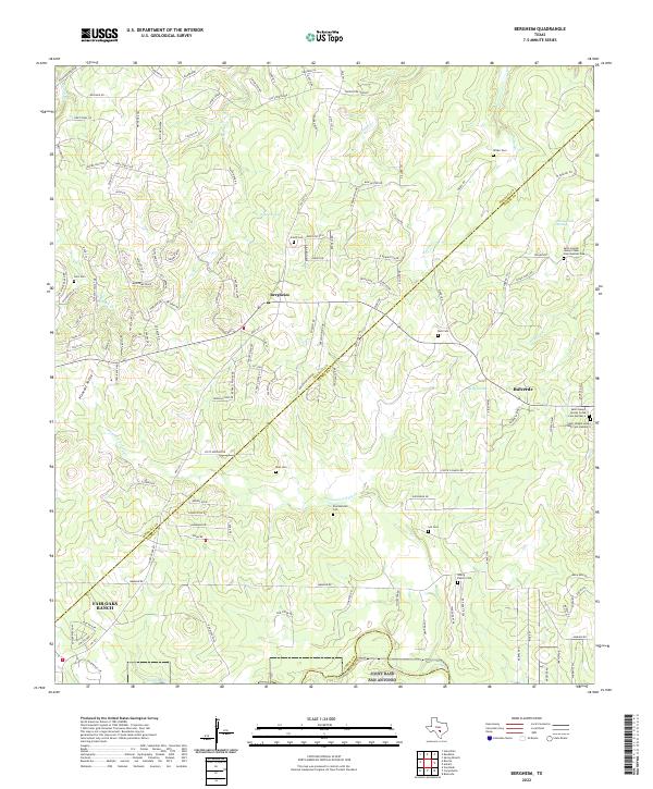 2022 Bergheim2022 Print · USGSTexas hill country life near the Kendall and Comal county line shows a mix of rural ranching roots and newer suburban growth. Genealogists can trace family footprints at Saur Cem, Kruckemeier Cem, or the complex at Saint Joseph Honey Creek Cem.
 - 2022 Map of Thelma, 2022 Print
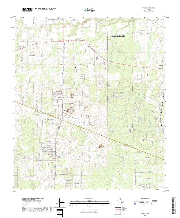 2022 Thelma2022 Print · USGSBexar and Atascosa Counties meet south of San Antonio in the 2020s, where rural ranch lands are increasingly intersected by modern residential development. Researchers can trace local lineage at First Memorial Cemetery and Oak Island Cemetery or follow the winding course of the Medina River.
 - 2022 Map of Somerset, 2022 Print
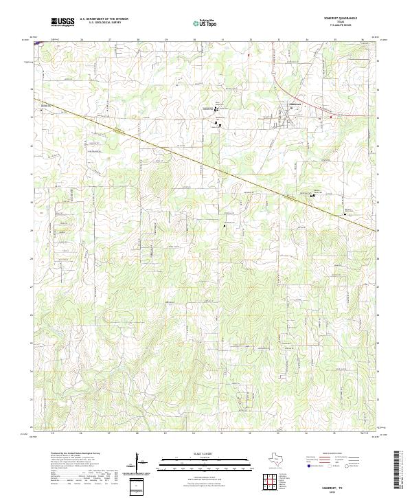 2022 Somerset2022 Print · USGSSomerset and the South Texas countryside appear here in the early 2020s, straddling the line of Bexar and Atascosa counties. Family historians can locate numerous burial sites including Barker Cem, Old Rock Cem, and Saint Marys Cem near the Atascosa River.
 - 2022 Map of La Vernia SW, 2022 Print
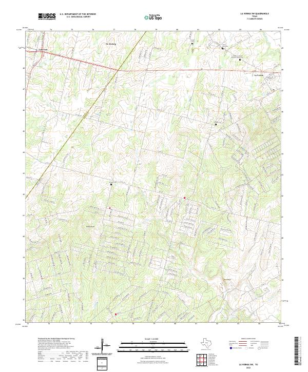 2022 La Vernia SW2022 Print · USGSBexar and Wilson Counties come into focus during this period of rural Texas growth near the Post Oak Savannah. Genealogists and historians can trace family locations through several burial grounds, including Kicaster Cem, Beall Cem, and Saint Anns Cem.
 - 2022 Map of Macdona, 2022 Print
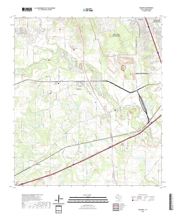 2022 Macdona2022 Print · USGSBexar County south of San Antonio shows a unique blend of early settlement history and river geography in this recent survey. Genealogists can locate several historic burial sites, including Becker Cem, San Isidro Cem, and McCulloch Cem.
 - 2022 Map of La Coste NE, 2022 Print
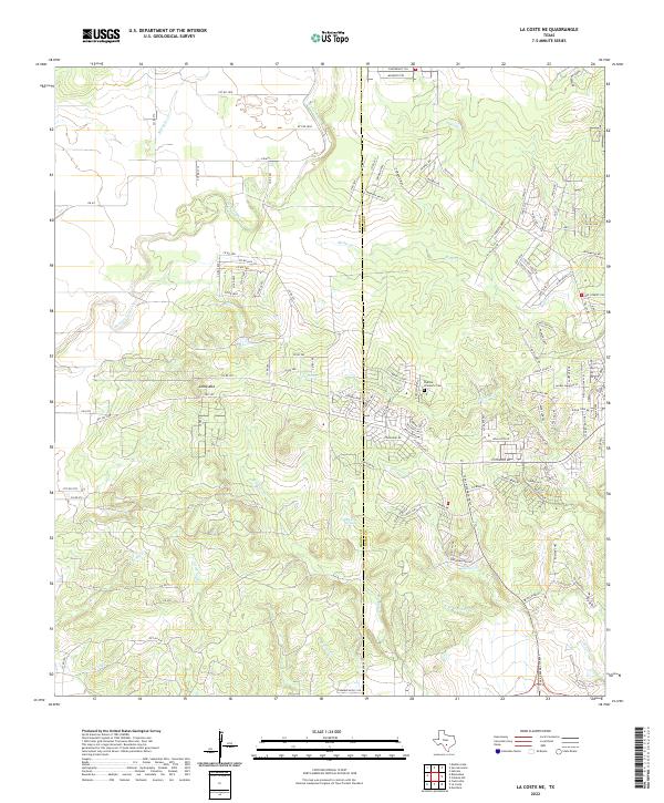 2022 La Coste NE2022 Print · USGSThe Medina and Bexar county line area comes into focus here during the early 2020s, showing a landscape of deep creek beds and rising hills. Researchers can trace the Padilla - Zimmerle Cem and water sources like San Lucas Springs and Medio Cr.
 - 2022 Map of Saspamco, 2022 Print
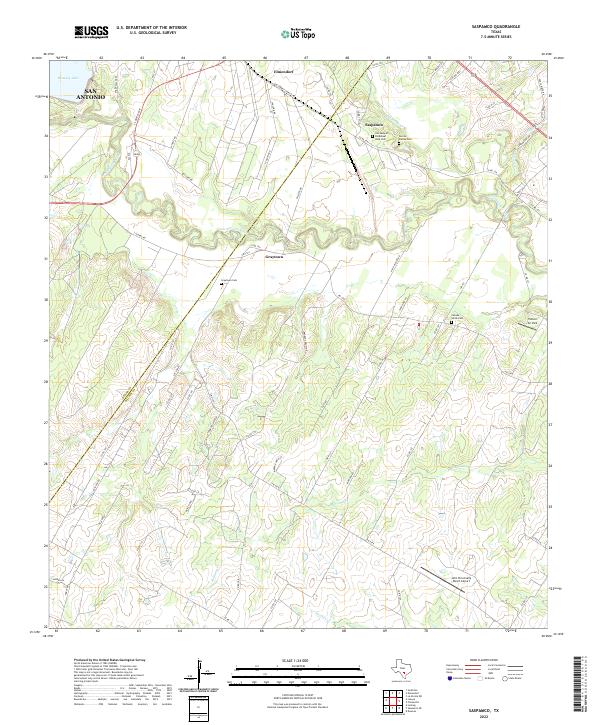 2022 Saspamco2022 Print · USGSSoutheastern Texas ranch lands and river bends come alive in this recent survey of the Wilson and Bexar county line. Local historians can trace cemetery locations like Canada Verde Cem or the industrial roots of Saspamco near the San Antonio River.
 - 2022 Map of Jack Mountain, 2022 Print
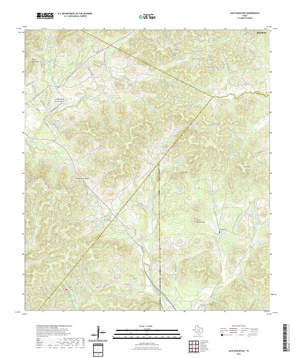 2022 Jack Mountain2022 Print · USGSThe Bandera County hills meet the Bexar County line in this recent study of ranch lands and spring-fed headwaters. Researchers can locate the Heimsath Cemetery and family landmarks like White Ranch Lake, Walton Lake, and Jack Mountain.
 - 2022 Map of Bat Cave, 2022 Print
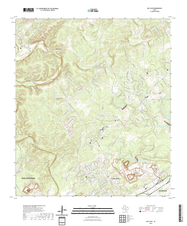 2022 Bat Cave2022 Print · USGSThe Comal County hills come alive in this recent survey, showing the intersection of suburban expansion and deep-rooted Texas history. Researchers can locate numerous family burial sites like Jacob Wellbacher Cem and landmarks like the Natural Bridge of Texas.
 - 2022 Map of Leming, 2022 Print
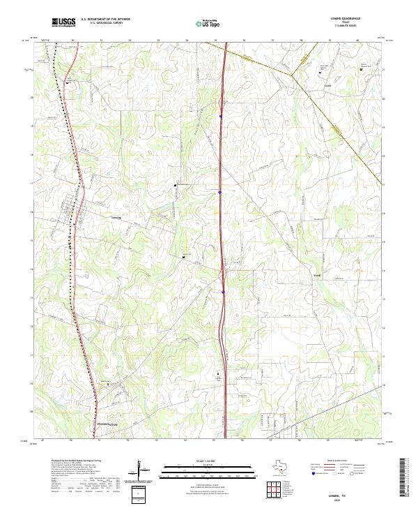 2022 Leming2022 Print · USGSAtascosa County ranching country is mapped in the modern era, showing the enduring footprints of small communities and family landholdings. Researchers can locate numerous local landmarks such as Saint Luke Catholic Cem, Purtle Hollow, and the settlement of Verdi.
 - 2022 Map of San Geronimo, 2022 Print
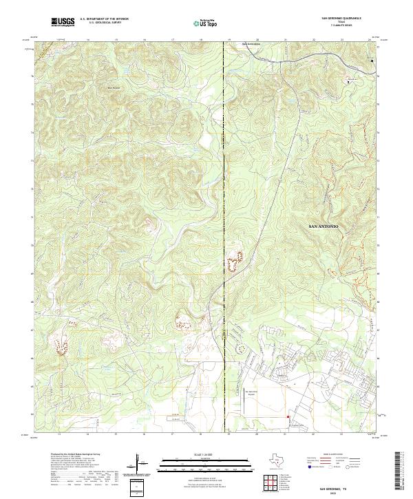 2022 San Geronimo2022 Print · USGSThe Texas Hill Country at the western edge of Bexar County shows a blend of ranching history and modern growth. Genealogists and hikers can locate Lee Cem, trace the waters of Indian Mound Springs, or explore the terrain around Government Canyon.
 - 2022 Map of Van Raub, 2022 Print
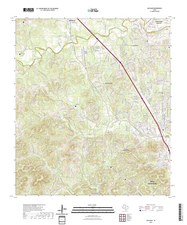 2022 Van Raub2022 Print · USGSThe hill country northwest of San Antonio enters a new era of suburban growth in the early 2020s. Researchers can trace family history at the Charles Cole Cem or explore the geography of Van Raub and the Kremkau Divide.
 - 2022 Map of San Antonio East, 2022 Print
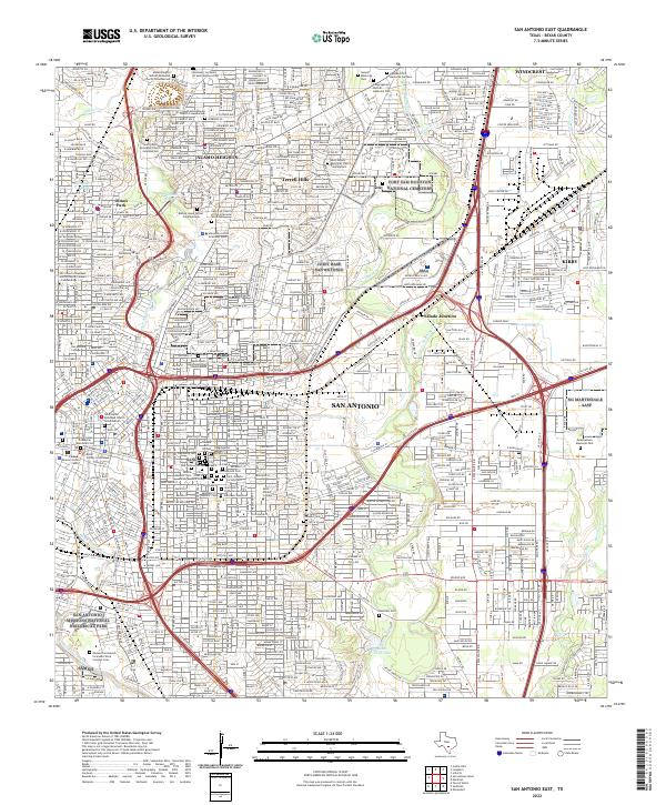 2022 San Antonio East2022 Print · USGSThe eastern reaches of San Antonio are documented here as the city’s historic core meets massive military footprints. Researchers can trace dozens of lineage-rich sites including City Cem 4, Alamo Masonic Cem, and Fort Sam Houston National Cemetery.
 - 2022 Map of Martinez, 2022 Print
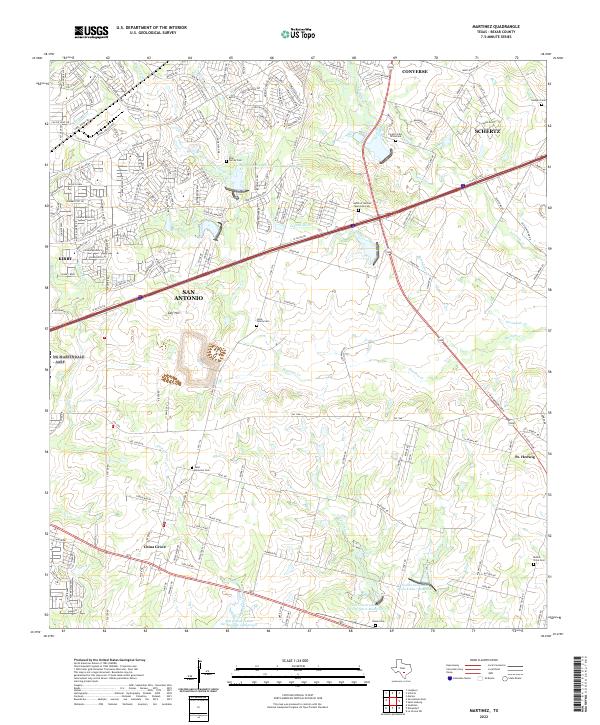 2022 Martinez2022 Print · USGSEastern Bexar County near the start of the 2020s shows the meeting of suburban San Antonio and rural Texas tradition. Researchers can locate numerous family-named burial sites including Lieck Family Cem and Real Family Cem near the banks of Martinez Cr.
 - 2022 Map of Culebra Hill, 2022 Print
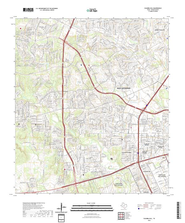 2022 Culebra Hill2022 Print · USGSWestern San Antonio and the suburbs of Bexar County appear here in the early 2020s, showing a landscape of dense residential growth and historic landmarks. Trace local history through Schroeder Cem, the high ground of Culebra Hill, and neighborhoods like Lackland City.
 - 2022 Map of Longhorn, 2022 Print
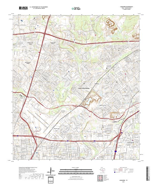 2022 Longhorn2022 Print · USGSBexar County at the start of the 2020s shows the suburban and aviation landscape north of the city. Genealogists can trace family heritage through numerous small burial sites like Schulmeier Cem, Perrin Cem, and the Georg Heinrich Buchsenschutz Historical Cem.
 - 2022 Map of Lytle, 2022 Print
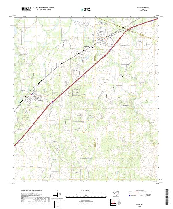 2022 Lytle2022 Print · USGSThe Lytle and Natalia area of South Texas is shown here at the start of the 2020s, highlighting its agricultural roots and rural growth. Trace local history at the Coal Mine and Benton City Cem, or follow the path of the vital Natalia Canal across the landscape.
 - 2022 Map of La Coste, 2022 Print
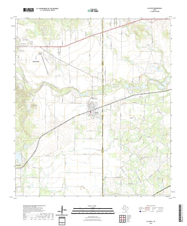 2022 La Coste2022 Print · USGSThe Medina River valley comes into sharp focus during this modern era of Texas ranching and irrigation. Genealogists and researchers can trace family lands near LaCoste and Pearson, or locate burials at Our Lady of Grace Cem.
 - 2022 Map of Schertz, 2022 Print
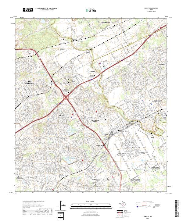 2022 Schertz2022 Print · USGSNortheast of San Antonio in the 2020s, this area shows a landscape defined by military aviation and suburban expansion. Genealogists can trace family names at Davenport Cem, Wilhelm Seller Cem, and Fischer Schertz Cem.
 - 2022 Map of Marion, 2022 Print
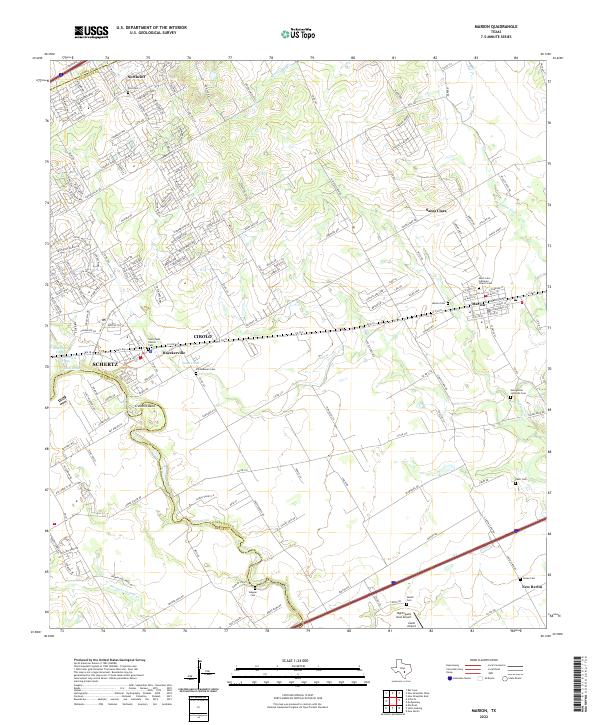 2022 Marion2022 Print · USGSMarion and the Cibolo Creek borderlands appear in this contemporary 2022 survey during a period of rapid suburban growth. Researchers can trace numerous historic burial sites like Vordenbaum Cem and the Saint John Lutheran Church Cem.
Showing maps 1-25 of 32
Top cities of Bexar County
- San Antonio historical maps
- Universal City historical maps
- Converse historical maps
- Live Oak historical maps
- Leon Valley historical maps
- Lone Oak historical maps
See more
Frequently asked questions
- What are the different types of historical maps available for Bexar County?
- What is the oldest map of Bexar County?
- Where can I purchase historical maps of Bexar County for my home or office?
- Where can I download high-res historical maps of Bexar County?
- Are there historical topographic maps available for Bexar County?
- Is there historical aerial imagery available for Bexar County?
- Where are historical maps of Bexar County sourced from?