2000s (21st Century) Maps of Bexar County, Texas
Explore 160 historic maps of Bexar County from the 2000s (21st Century). These maps offer a rare glimpse into what life looked like during the 2000s — showing old roads, neighborhoods, homes, and landmarks that have changed or disappeared over time.
Whether you're researching your family's past, planning a metal detecting trip, or studying how Bexar County's landscape evolved across the 2000s, these high-resolution maps are a powerful tool for exploring the history of this region.
- Focus on a specific era: All maps on this page are from the 2000s, giving you a focused view of this time period.
- See what’s changed: Compare century-old streets, trails, and buildings to today's modern landscape using overlays and satellite layers.
- Research with precision: Use these maps for genealogy, historical research, land use analysis, or educational projects.
- View, download, or print: Maps are fully viewable online in high resolution, and can be downloaded or printed for your own records.
Start exploring Bexar County's history through authentic maps from the 2000s. This is your window into the past.
Bexar County, TX maps
(160)- 2010 Map of La Coste, 2010 Print
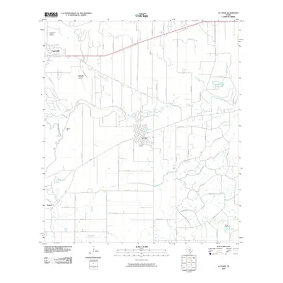 2010 La Coste2010 Print · USGSMedina County comes into focus in this 2010 survey, centered on the Alsatian heritage of Castroville and the rail siding at La Coste. Genealogists can trace family landmarks like St Louis Cem and Castroville Cem or follow the path of the Southern Pacific railroad.
 - 2010 Map of Lytle, 2010 Print
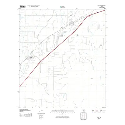 2010 Lytle2010 Print · USGSLytle and Natalia are captured here during a period of steady rural growth in South Texas. Local historians can trace the intersection of water and industry, from the Natalia Canal to the Coal Mine and Verna-Anacacho Oil Field.
 - 2010 Map of San Geronimo, 2010 Print
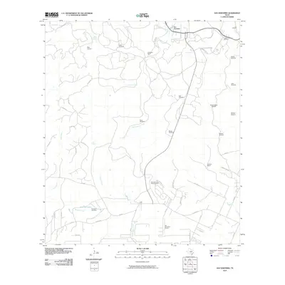 2010 San Geronimo2010 Print · USGSBexar County ranching and water management are front and center in this study of the San Antonio outskirts during the 2010s. Researchers can locate family landmarks like Gallagher Ranch and Kallison Ranch, or trace local history at the Lee Cemetery and Cepeda Cemetery.
 - 2010 Map of Jack Mountain, 2010 Print
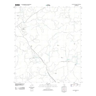 2010 Jack Mountain2010 Print · USGSKendall County ranch lands and rugged peaks are documented here during a period of modern rural growth. Genealogists and local historians can locate Heimsath Cemetery and trace water sources like Beekman Spring or the Walton Lake dam.
 - 2010 Map of La Coste NE, 2010 Print
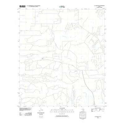 2010 La Coste NE2010 Print · USGSBexar County was undergoing a period of residential expansion into its rural landscape during the early 2000s. Genealogists and local historians can trace the development of small communities like Loma Alta and the path of the Big Sous Creek waterway.
 - 2010 Map of Elmendorf, 2010 Print
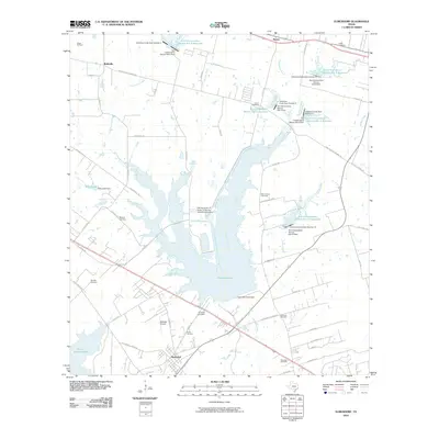 2010 Elmendorf2010 Print · USGSSoutheast of San Antonio in the early twenty-first century, this map shows a landscape defined by industrial power and rural heritage. Genealogists can locate family burial sites like Cantu Cemetery and Flores Cemetery near the shores of Calaveras Lake.
 - 2010 Map of Bat Cave, 2010 Print
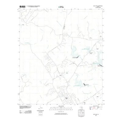 2010 Bat Cave2010 Print · USGSNear the Comal and Bexar county line in the early twenty-first century, this area shows a landscape of suburban growth amidst long-standing family ranches. Researchers can locate numerous family burial sites like Hillert Cemetery and Romple Cemetery or trace the drainage of Cibolo Creek.
 - 2010 Map of Bulverde, 2010 Print
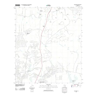 2010 Bulverde2010 Print · USGSThe Comal and Bexar county line area north of San Antonio appears here in the early 2000s as suburban expansion meets rural Texas heritage. Genealogists and historians can locate numerous family burial sites like Koch Cemetery and Peña Cemetery or trace the historic Specht Store.
 - 2010 Map of Bergheim, 2010 Print
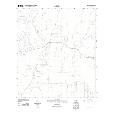 2010 Bergheim2010 Print · USGSTexas Hill Country ranching traditions met modern residential growth in the Bergheim area during the early twenty-first century. Genealogists can locate family burial sites like Lenz Cemetery and Lex Cemetery or trace the early community around the Bergheim Post Office.
 - 2010 Map of Somerset, 2010 Print
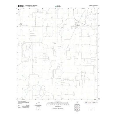 2010 Somerset2010 Print · USGSSomerset and southern Bexar County appear here in the early twenty-first century as a landscape of rural ranching and active energy production. Researchers can trace family roots through sites like Bexar Cemetery and the Somerset Oil Field.
 - 2010 Map of Terrell Wells, 2010 Print
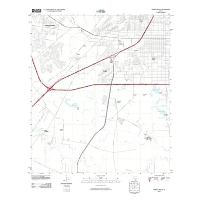 2010 Terrell Wells2010 Print · USGSThe southern suburbs of San Antonio appear here at a moment of modern transition between urban expansion and rural tradition. Researchers can find old family sites like Lona China Cemetery and local landmarks such as Garza Crossing and Terrell Wells.
 - 2010 Map of Van Raub, 2010 Print
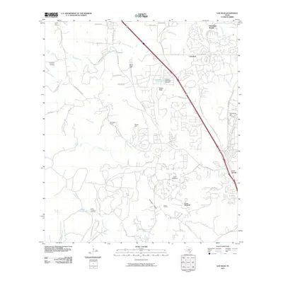 2010 Van Raub2010 Print · USGSThe northern Bexar County suburbs meet the Hill Country in the early twenty-first century, showing a landscape of growing residential tracts and old ranch lands. Researchers can locate family burial grounds like Robles Cemetery and historic transit landmarks including Boerne Stage Field.
 - 2010 Map of La Vernia SW, 2010 Print
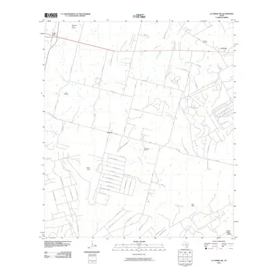 2010 La Vernia SW2010 Print · USGSThe crossroads of Wilson and Bexar counties come into focus during this period of rural residential development. Local historians can trace family-named lands and early infrastructure through the Cooksey Oil Field, La Vernia Cemetery, and the Grass Pond Colony.
 - 2010 Map of Leming, 2010 Print
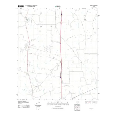 2010 Leming2010 Print · USGSAtascosa County settlement patterns are preserved here in the first decade of the 2000s, showing a landscape defined by small communities and family acreage. Genealogists can locate several remote burial sites such as Tuminson Cemetery and Saint Luke Cemetery.
 - 2010 Map of Longhorn, 2010 Print
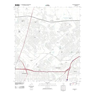 2010 Longhorn2010 Print · USGSNorth San Antonio underwent significant suburban transformation by the early twenty-first century, as shown in this detailed 2010 survey. Genealogists and historians can trace local family legacy at the Wetmore Cemetery or Beitel Memorial Cemetery and locate older landmarks like Longhorn Siding.
 - 2010 Map of Thelma, 2010 Print
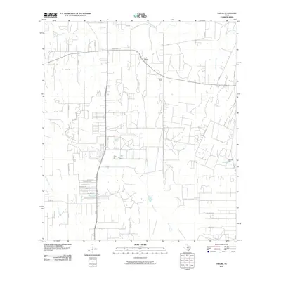 2010 Thelma2010 Print · USGSSouth Texas near the Medina River is captured in the early twenty-first century as rural homesteads and newer residential pockets coalesce. Researchers can trace the layout of Oak Island, the airfield at Cannon Field, and water features like Pax Lake.
 - 2010 Map of Saspamco, 2010 Print
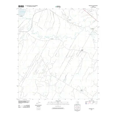 2010 Saspamco2010 Print · USGSSoutheast of San Antonio in the early twenty-first century, this area shows the rural river bends and ranch lands of Bexar County. Researchers can trace historic settlements like Graytown and Saspamco or locate the John B Connally Ranch Airport.
 - 2010 Map of Losoya, 2010 Print
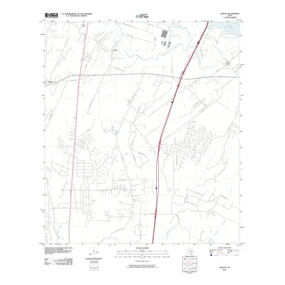 2010 Losoya2010 Print · USGSBexar County at the start of the 2010s shows a landscape defined by river confluences and rural settlements south of San Antonio. Researchers can trace land development and water features from Victor Braunig Lake to local landmarks like Triple R Airport and Losoya.
 - 2010 Map of Southton, 2010 Print
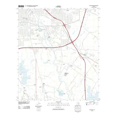 2010 Southton2010 Print · USGSSoutheast Bexar County in the early twenty-first century shows a fascinating blend of historic mission lands and modern infrastructure. Genealogists and researchers can trace the vicinity of Bergs Mill and Southton or locate Mission Espada Cemetery and the Southton Oil Field.
 - 2010 Map of San Antonio West, 2010 Print
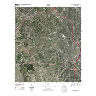 2010 San Antonio West2010 Print · USGSWestern San Antonio in the early twenty-first century shows a landscape where historic neighborhoods meet modern infrastructure. Researchers can locate long-standing institutions like Saint Marys University, the Union Stock Yards, and San Fernando Cemetery Number 2.
 - 2010 Map of Helotes, 2010 Print
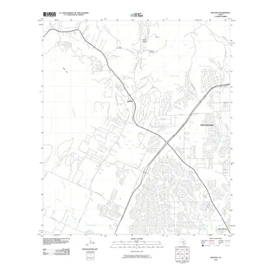 2010 Helotes2010 Print · USGSBexar County at the edge of the Hill Country comes into focus during this period of rapid suburban growth. Genealogists and historians can trace local family legacy through the Madla Cemetery, Lee Cemetery, and the historic community of Grey Forest.
 - 2010 Map of Castle Hills, 2010 Print
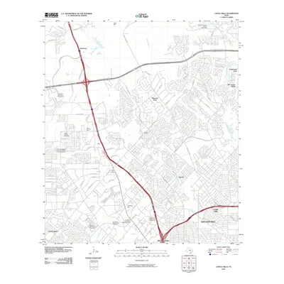 2010 Castle Hills2010 Print · USGSBexar County at the start of the 2010s shows the rapid northward growth of the San Antonio metro area along the major highway loops. Researchers can trace institutional footprints from the University of Texas at San Antonio to the historic Locke Hill Cemetery.
 - 2010 Map of San Antonio East, 2010 Print
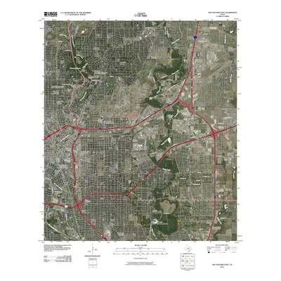 2010 San Antonio East2010 Print · USGSSan Antonio at the end of the first decade of the 2000s showcases a landscape of historic preservation and modern military infrastructure. Trace heritage sites like the King William Historic District or the airfield at Martindale Army Air Field.
 - 2010 Map of New Berlin, 2010 Print
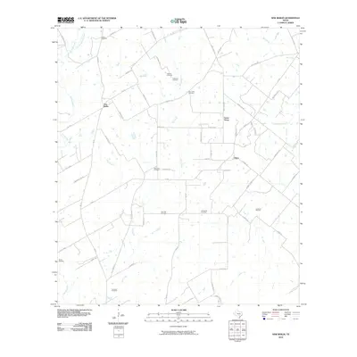 2010 New Berlin2010 Print · USGSThe rural landscape of Guadalupe County is shown here in the early twenty-first century, centered on the community of New Berlin. Genealogists will find an incredible concentration of burial sites to trace, from Linne Cemetery to the uniquely named Concrete Cemetery.
 - 2010 Map of Culebra Hill, 2010 Print
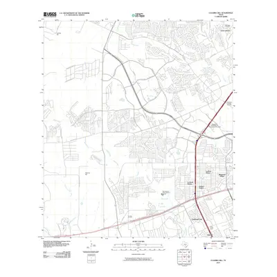 2010 Culebra Hill2010 Print · USGSWestern San Antonio and Leon Valley are shown in detail during a period of significant suburban expansion in the early twenty-first century. Researchers can trace the layout of growing neighborhoods like Kelland Heights and find local landmarks such as Sociedad Cemetery and the Leon Valley Post Office.
Showing maps 1-25 of 160
Top cities of Bexar County
- San Antonio historical maps
- Universal City historical maps
- Converse historical maps
- Live Oak historical maps
- Leon Valley historical maps
- Lone Oak historical maps
See more
Frequently asked questions
- What are the different types of historical maps available for Bexar County?
- What is the oldest map of Bexar County?
- Where can I purchase historical maps of Bexar County for my home or office?
- Where can I download high-res historical maps of Bexar County?
- Are there historical topographic maps available for Bexar County?
- Is there historical aerial imagery available for Bexar County?
- Where are historical maps of Bexar County sourced from?