Old Maps of Brazoria County, Texas for Academic Research
Study the evolution of Brazoria County with 81 high-resolution historic maps. Whether you're teaching, researching, or modeling changes in land use, these maps provide essential visual documentation of urban, environmental, and geographic change.
- Analyze long-term change: Track patterns in development, transportation, and natural features.
- Ideal for environmental or urban studies: Support academic projects with primary historical map data.
- Use in the classroom or lab: Educators and researchers rely on these maps to bring historical context to life.
These maps are a powerful tool for teaching, research, and visualizing how Brazoria County has changed over the decades.
Brazoria County, TX maps
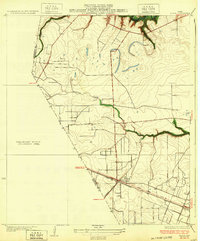
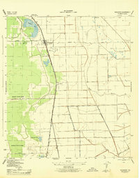
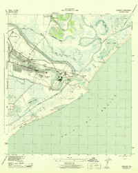
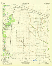
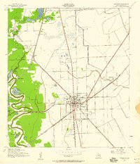
(81)- 1916 Map of Genoa
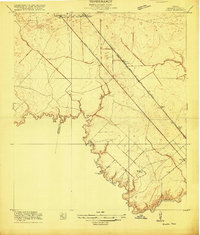 1916 Genoa1916 Print · USGSCovers Brazoria County, including Houston, Pearland, and other nearby areas2 unique versions available
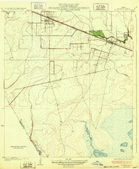
 - 1920 Map of Genoa
 1920 Genoa1920 Print · USGSCovers Brazoria County, including Houston, Pearland, and other nearby areas
 - 1920 Map of Mykawa
 1920 Mykawa1920 Print · USGSCovers Brazoria County, including Houston, Pearland, and other nearby areas3 unique versions available
 - 1920 Map of Almeda
 1920 Almeda1920 Print · USGSCovers Brazoria County, including Houston, Pearland, and other nearby areas2 unique versions available
 - 1929 Map of Karankawa Lake
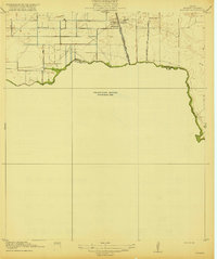
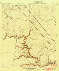
 1929 Karankawa Lake1929 Print · USGSCovers Brazoria County, including Galveston, Alvin, and other nearby areas
 - 1929 Map of Algoa
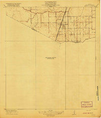
 1929 Algoa1929 Print · USGSCovers Brazoria County, including League City, Friendswood, and other nearby areas
 - 1929 Map of Hitchcock
 1929 Hitchcock1929 Print · USGSCovers Brazoria County, including Alvin, La Marque, and other nearby areas
 - 1932 Map of Algoa
 1932 Algoa1932 Print · USGSCovers Brazoria County, including League City, Friendswood, and other nearby areas3 unique versions available
 - 1932 Map of Genoa
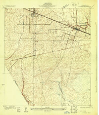
 1932 Genoa1932 Print · USGSCovers Brazoria County, including Houston, Pearland, and other nearby areas3 unique versions available
 - 1932 Map of Hitchcock
 1932 Hitchcock1932 Print · USGSCovers Brazoria County, including Alvin, La Marque, and other nearby areas2 unique versions available
 - 1932 Map of Mustang Bayou
 1932 Mustang Bayou1932 Print · USGSCovers Brazoria County, including Alvin, Santa Fe, and other nearby areas2 unique versions available
 - 1933 Map of Karankawa Lake
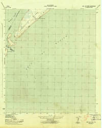
 1933 Karankawa Lake1933 Print · USGSCovers Brazoria County, including Galveston, Alvin, and other nearby areas2 unique versions available
 - 1933 Map of San Luis Pass
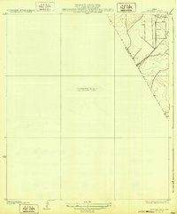
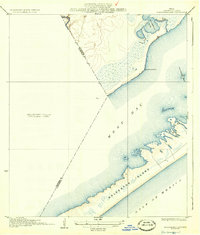
 1933 San Luis Pass1933 Print · USGSCovers Brazoria County, including Galveston, Alvin, and other nearby areas2 unique versions available
 - 1943 Map of San Luis Pass
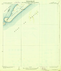
 1943 San Luis Pass1943 Print · USGSCovers Brazoria County, including Galveston, Alvin, and other nearby areas3 unique versions available
 - 1943 Map of Oyster Creek
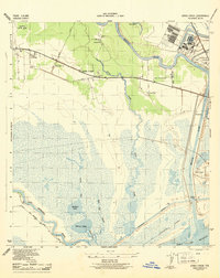
 1943 Oyster Creek1943 Print · USGSCovers Brazoria County, including Alvin, Freeport, and other nearby areas2 unique versions available
 - 1943 Map of Rosharon
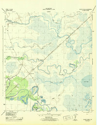
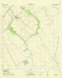
 1943 Rosharon1943 Print · USGSCovers Brazoria County, including Alvin, Angleton, and other nearby areas2 unique versions available
 - 1943 Map of Jones Creek
 1943 Jones Creek1943 Print · USGSCovers Brazoria County, including Lake Jackson, Freeport, and other nearby areas2 unique versions available
 - 1943 Map of Danbury
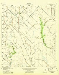
 1943 Danbury1943 Print · USGSCovers Brazoria County, including Alvin, Danbury, and other nearby areas2 unique versions available
 - 1943 Map of Mustang Bayou
 1943 Mustang Bayou1943 Print · USGSCovers Brazoria County, including Alvin, Santa Fe, and other nearby areas2 unique versions available
 - 1943 Map of Freeport
 1943 Freeport1943 Print · USGSCovers Brazoria County, including Lake Jackson, Freeport, and other nearby areas2 unique versions available
 - 1943 Map of Juliff
 1943 Juliff1943 Print · USGSCovers Brazoria County, including Pearland, Missouri City, and other nearby areas2 unique versions available
 - 1943 Map of Carancahua Lake, 1952 Print
 1943 Carancahua Lake1952 Print · USGSCovers Brazoria County, including Galveston, Alvin, and other nearby areas
 - 1943 Map of Cedar Lakes East, 1958 Print
 1943 Cedar Lakes East1958 Print · USGSCovers Brazoria County, including Freeport, Matagorda County, and other nearby areas
 - 1943 Map of Angleton, 1958 Print
 1943 Angleton1958 Print · USGSCovers Brazoria County, including Angleton, Van Pelt, and other nearby areas
 - 1943 Map of Christmas Point, 1958 Print
 1943 Christmas Point1958 Print · USGSCovers Brazoria County, including Galveston, Alvin, and other nearby areas
Showing maps 1-25 of 81
Top cities of Brazoria County
- Pearland historical maps
- Lake Jackson historical maps
- Alvin historical maps
- Angleton historical maps
- Iowa Colony historical maps
- Freeport historical maps
See more
Frequently asked questions
- What are the different types of historical maps available for Brazoria County?
- What is the oldest map of Brazoria County?
- Where can I purchase historical maps of Brazoria County for my home or office?
- Where can I download high-res historical maps of Brazoria County?
- Are there historical topographic maps available for Brazoria County?
- Is there historical aerial imagery available for Brazoria County?
- Where are historical maps of Brazoria County sourced from?