Old Maps of Quintana, Texas for Academic Research
Study the evolution of Quintana with 12 high-resolution historic maps. Whether you're teaching, researching, or modeling changes in land use, these maps provide essential visual documentation of urban, environmental, and geographic change.
- Analyze long-term change: Track patterns in development, transportation, and natural features.
- Ideal for environmental or urban studies: Support academic projects with primary historical map data.
- Use in the classroom or lab: Educators and researchers rely on these maps to bring historical context to life.
These maps are a powerful tool for teaching, research, and visualizing how Quintana has changed over the decades.
Quintana, TX maps
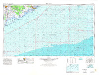
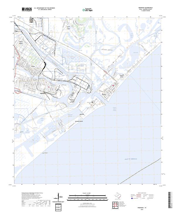
(12)- 1943 Map of Freeport
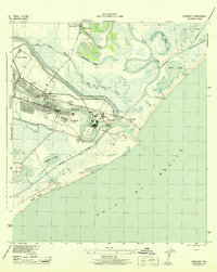 1943 Freeport1943 Print · USGSThe Texas coast near the mouth of the Brazos River comes into sharp focus during the early 1940s as industry and navigation expand. Researchers can trace the layout of Freeport, locate the Brazos River Lighthouse, and find the historic Quintana Cem along the gulf shore.2 unique versions available
 - 1951 Map of Bay City
 1951 Bay City1951 Print · USGSThe mid-century Texas Gulf Coast comes to life in this survey of the delta region where the Brazos and Colorado Rivers meet the sea. Researchers can trace the industrial footprint of Freeport or locate family-named spots like Mangun and Hawkinsville.
 - 1956 Map of Bay City, 1964 Print
 1956 Bay City1964 Print · USGSThe Texas Gulf Coast comes into focus in the mid-1950s, showing the intricate bayous and coastal settlements from Bay City to Freeport. Researchers can trace the legacy of shoreline communities like Sargent, Matagorda Beach, and Hawkinsville before modern coastal changes.2 unique versions available
 - 1958 Map of Bay City
 1958 Bay City1958 Print · USGSThe Texas Gulf Coast in the late fifties shows a landscape of growing petrochemical plants and intricate wetlands. Genealogists and historians can trace the paths of the Missouri Pacific railroad through Bay City or locate old settlements like Hinkle Ferry and Hawkinsville.
 - 1964 Map of Freeport, 1966 Print
 1964 Freeport1966 Print · USGSThe Texas Gulf Coast comes alive in the mid-1960s as Freeport expands its industrial reach at the mouth of the Brazos. Trace family roots and local history at Velasco Heights, West End Ch, or the Jane Long Sch.5 unique versions available
 - 1974 Map of Bay City, 1978 Print
 1974 Bay City1978 Print · USGSThe Texas Gulf Coast in the mid-seventies reveals a landscape of sprawling wetlands and coastal transit hubs. Genealogists and historians can trace the rail corridors of the Missouri Pacific or locate early settlements like Wadsworth and Matagorda.
 - 2010 Map of Freeport, 2010 Print
 2010 Freeport2010 Print · USGSCovers Quintana, including Lake Jackson, Freeport, and other nearby areas
 - 2013 Map of Freeport, 2013 Print
 2013 Freeport2013 Print · USGSCovers Quintana, including Lake Jackson, Freeport, and other nearby areas
 - 2016 Map of Freeport, 2016 Print
 2016 Freeport2016 Print · USGSCovers Quintana, including Lake Jackson, Freeport, and other nearby areas
 - 2019 Map of Freeport, 2019 Print
 2019 Freeport2019 Print · USGSCovers Quintana, including Lake Jackson, Freeport, and other nearby areas
 - 2022 Map of Freeport, 2022 Print
 2022 Freeport2022 Print · USGSCovers Quintana, including Lake Jackson, Freeport, and other nearby areas
 - 2025 Map of Freeport, 2025 Print
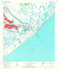
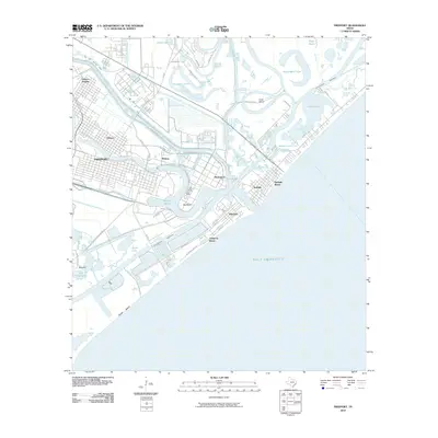
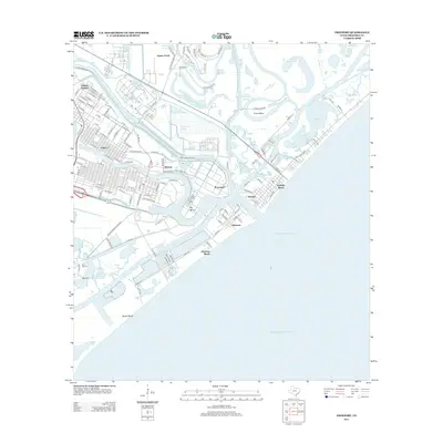
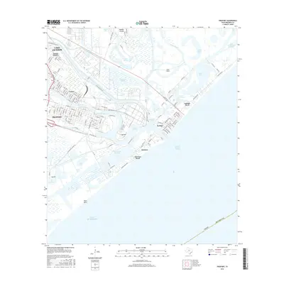
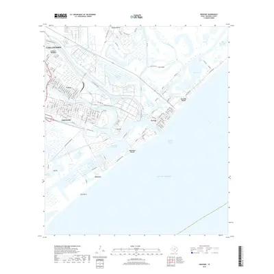
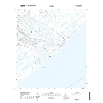
 2025 Freeport2025 Print · USGSCoastal Brazoria County is shown at its industrial and maritime peak, where the Brazos River delta meets the Gulf. Researchers can trace the layout of Velasco, find the Quintana Cem, and study the massive turning basins and the Intracoastal Waterway.
End of results
Showing maps 1-12 of 12
Top cities near Quintana
- Galveston historical maps
- Lake Jackson historical maps
- Alvin historical maps
- Angleton historical maps
- Freeport historical maps
- Clute historical maps
See more
Top neighborhoods of Quintana
Frequently asked questions
- What are the different types of historical maps available for Quintana?
- What is the oldest map of Quintana?
- Where can I purchase historical maps of Quintana for my home or office?
- Where can I download high-res historical maps of Quintana?
- Are there historical topographic maps available for Quintana?
- Is there historical aerial imagery available for Quintana?
- Where are historical maps of Quintana sourced from?