Old Maps of Old Edith Lochausen Place, Texas for Hiking & Exploration
Hike through history with 13 historic maps of Old Edith Lochausen Place. Explore old trails, ghost towns, and forgotten backroads — perfect for outdoor adventurers and local explorers.
- Rediscover forgotten places: Map out old mining camps, roads, and footpaths that no longer exist on modern maps.
- Layer with modern tools: Combine with LiDAR or satellite views to plan hikes through historical terrain.
- Made for exploration: Popular among hikers, overlanders, and local history lovers.
Use these maps to find adventure and explore the hidden past of Old Edith Lochausen Place.
Old Edith Lochausen Place, TX maps
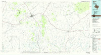
(13)- 1920 Map of Marathon, 1973 Print
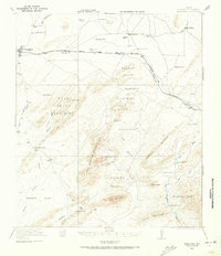 1920 Marathon1973 Print · USGSWest Texas ranching life and desert terrain are captured here just after the First World War, centered on the railroad town of Marathon. Genealogists can trace family holdings at the Old Beckley Place and Shoemake Place or find the remote Warwick School.
 - 1921 Map of Marathon
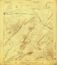 1921 Marathon1921 Print · USGSMarathon and its surrounding Brewster County ranchlands are captured here during the peak of early rail expansion and homesteading. Researchers can locate dozens of family-named landmarks and settlements including the Old Beckley Place, Warwick School, and Haymond.2 unique versions available
 - 1954 Map of Fort Stockton, 1965 Print
 1954 Fort Stockton1965 Print · USGSWest Texas ranching and the early energy industry converge in this mid-century survey of the Trans-Pecos. Genealogists and historians can locate specific family lands like Graef Brothers Ranch and trace the paths of the Old Spanish Trail and the Southern Pacific railroad.3 unique versions available
 - 1958 Map of Fort Stockton
 1958 Fort Stockton1958 Print · USGSThe Trans-Pecos region of West Texas in the late fifties is a landscape of vast mesas and isolated ranching hubs. Genealogists and historians can trace the paths of the Texas and New Orleans RR through Alpine or locate early settlements like Bakersfield and Sanderson.
 - 1967 Map of Horse Mountain, 1970 Print
 1967 Horse Mountain1970 Print · USGSMason and Llano Counties are captured during the late sixties, showing a landscape of high peaks and spring-fed creeks. Researchers can locate family landmarks like Putnam Cem and trace the paths of Marschall Creek and Hickory Creek.
 - 1973 Map of Fort Stockton, 1974 Print
 1973 Fort Stockton1974 Print · USGSThe Trans-Pecos region of West Texas comes alive in the early seventies, from the desert flats of the Stockton Plateau to the heights of the Davis Mountains. Researchers can trace the legacy of frontier outposts and rail lines through Fort Davis Nat Hist Site, Alpine, and the Southern Pacific RR.
 - 1983 Map of Horse Mountain, 1984 Print
 1983 Horse Mountain1984 Print · USGSThe high Chihuahuan Desert of Brewster County comes into focus in the mid-1970s, showing a landscape defined by ranching infrastructure and desert landmarks. Researchers can trace the placement of remote outposts like Boots Windmill, the Landing Strip, and the rugged elevations of the Haymond Mountains.
 - 1985 Map of Alpine
 1985 Alpine1985 Print · USGSWest Texas ranching and rail life are documented here in the mid-1980s as the region centers on Alpine. Trace the iron paths of the Southern Pacific and Atchison Topeka and Santa Fe through settlements like Marathon and Altuda.2 unique versions available
 - 2010 Map of Horse Mountain, 2010 Print
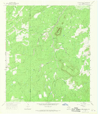
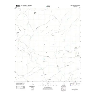 2010 Horse Mountain2010 Print · USGSCovers Old Edith Lochausen Place, including Old Corbett Place, Brewster County, and other nearby areas
 - 2012 Map of Horse Mountain, 2012 Print
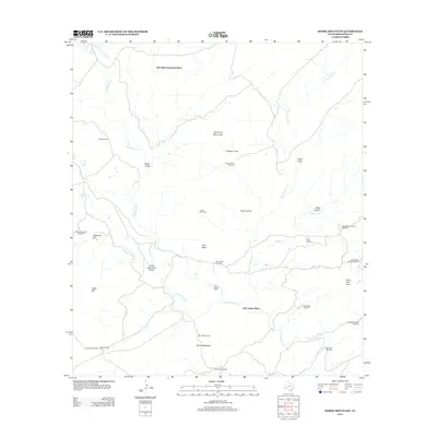 2012 Horse Mountain2012 Print · USGSCovers Old Edith Lochausen Place, including Old Corbett Place, Brewster County, and other nearby areas
 - 2016 Map of Horse Mountain, 2016 Print
 2016 Horse Mountain2016 Print · USGSCovers Old Edith Lochausen Place, including Old Corbett Place, Brewster County, and other nearby areas
 - 2019 Map of Horse Mountain, 2019 Print
 2019 Horse Mountain2019 Print · USGSCovers Old Edith Lochausen Place, including Old Corbett Place, Brewster County, and other nearby areas
 - 2022 Map of Horse Mountain, 2022 Print
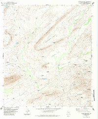
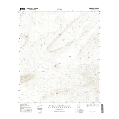
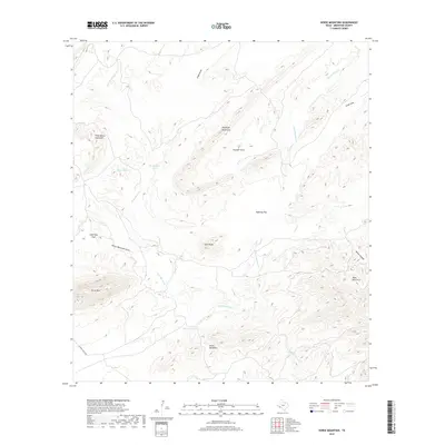
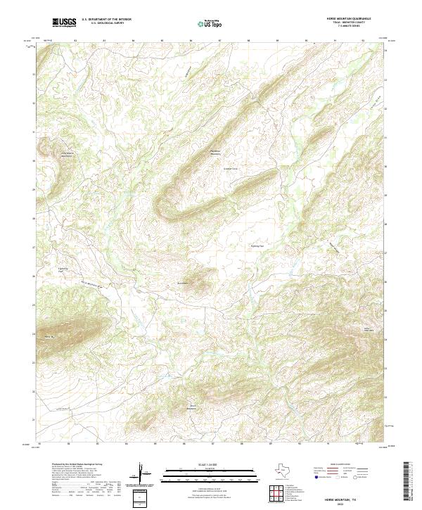 2022 Horse Mountain2022 Print · USGSIn the high desert of Brewster County, this contemporary survey captures a land of cattle ranching and ephemeral water sources. Trace family-named routes like Chaney Ranch Rd past landmarks including Dead Horse Hole and the Devils Backbone.
End of results
Showing maps 1-13 of 13
Top cities near Old Edith Lochausen Place
Frequently asked questions
- What are the different types of historical maps available for Old Edith Lochausen Place?
- What is the oldest map of Old Edith Lochausen Place?
- Where can I purchase historical maps of Old Edith Lochausen Place for my home or office?
- Where can I download high-res historical maps of Old Edith Lochausen Place?
- Are there historical topographic maps available for Old Edith Lochausen Place?
- Is there historical aerial imagery available for Old Edith Lochausen Place?
- Where are historical maps of Old Edith Lochausen Place sourced from?