2000s (21st Century) Maps of Brownwood, Texas
Explore 15 historic maps of Brownwood from the 2000s (21st Century). These maps offer a rare glimpse into what life looked like during the 2000s — showing old roads, neighborhoods, homes, and landmarks that have changed or disappeared over time.
Whether you're researching your family's past, planning a metal detecting trip, or studying how Brownwood's landscape evolved across the 2000s, these high-resolution maps are a powerful tool for exploring the history of this region.
- Focus on a specific era: All maps on this page are from the 2000s, giving you a focused view of this time period.
- See what’s changed: Compare century-old streets, trails, and buildings to today's modern landscape using overlays and satellite layers.
- Research with precision: Use these maps for genealogy, historical research, land use analysis, or educational projects.
- View, download, or print: Maps are fully viewable online in high resolution, and can be downloaded or printed for your own records.
Start exploring Brownwood's history through authentic maps from the 2000s. This is your window into the past.
Brownwood, TX maps
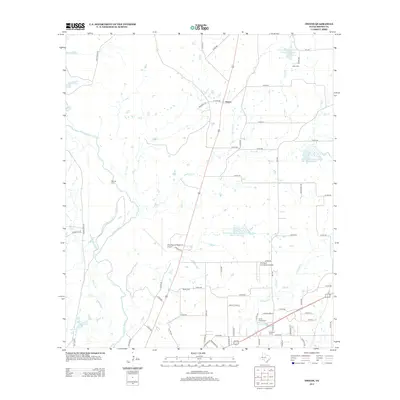
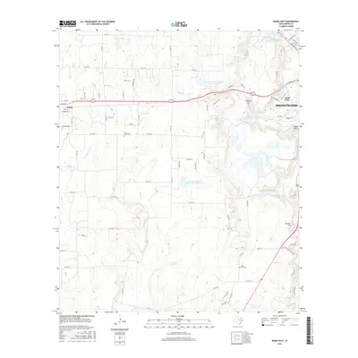
(15)- 2010 Map of Owens, 2010 Print
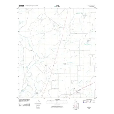 2010 Owens2010 Print · USGSCovers Brownwood, including Early, Owens, and other nearby areas
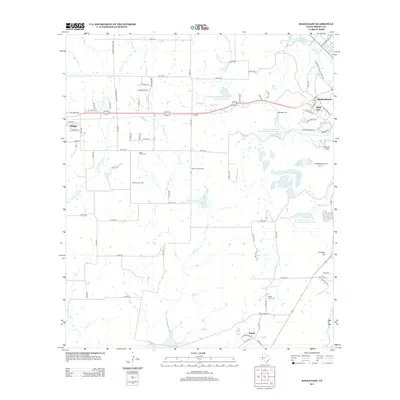
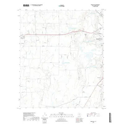
 - 2010 Map of Bangs East, 2010 Print
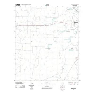 2010 Bangs East2010 Print · USGSCovers Brownwood, including Bangs, Dalzell, and other nearby areas
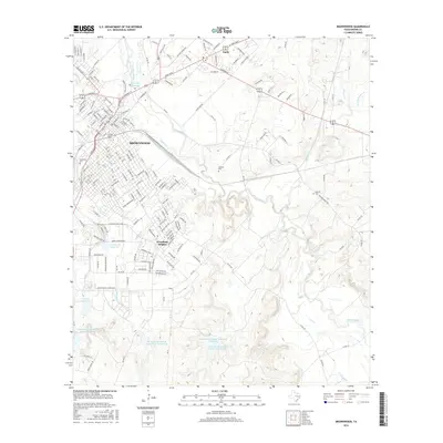
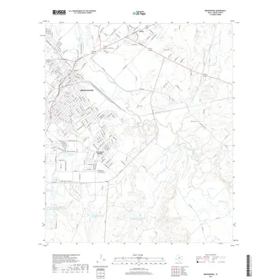
 - 2010 Map of Brownwood, 2010 Print
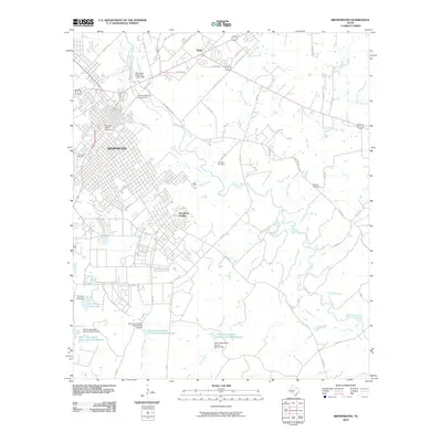 2010 Brownwood2010 Print · USGSCovers Brownwood, including Early, Woodland Heights, and other nearby areas
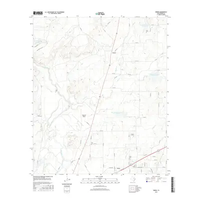
 - 2013 Map of Brownwood, 2013 Print
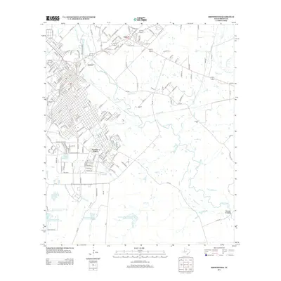 2013 Brownwood2013 Print · USGSCovers Brownwood, including Early, Woodland Heights, and other nearby areas
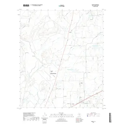
 - 2013 Map of Owens, 2013 Print
 2013 Owens2013 Print · USGSCovers Brownwood, including Early, Owens, and other nearby areas
 - 2013 Map of Bangs East, 2013 Print
 2013 Bangs East2013 Print · USGSCovers Brownwood, including Bangs, Dalzell, and other nearby areas
 - 2016 Map of Brownwood, 2016 Print
 2016 Brownwood2016 Print · USGSCovers Brownwood, including Early, Woodland Heights, and other nearby areas
 - 2016 Map of Owens, 2016 Print
 2016 Owens2016 Print · USGSCovers Brownwood, including Early, Owens, and other nearby areas
 - 2016 Map of Bangs East, 2016 Print
 2016 Bangs East2016 Print · USGSCovers Brownwood, including Bangs, Dalzell, and other nearby areas
 - 2019 Map of Bangs East, 2019 Print
 2019 Bangs East2019 Print · USGSCovers Brownwood, including Bangs, Dalzell, and other nearby areas
 - 2019 Map of Brownwood, 2019 Print
 2019 Brownwood2019 Print · USGSCovers Brownwood, including Early, Woodland Heights, and other nearby areas
 - 2019 Map of Owens, 2019 Print
 2019 Owens2019 Print · USGSCovers Brownwood, including Early, Owens, and other nearby areas
 - 2022 Map of Bangs East, 2022 Print
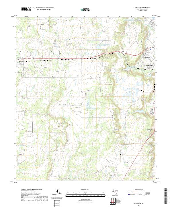 2022 Bangs East2022 Print · USGSBrown County's rural ranch lands and water management systems are on full display in this recent look at the corridor between Bangs and Brownwood. Researchers can locate family heritage sites like Clear Creek Cem and Point Cem or trace the route of the Brownwood Water Supply Canal.
 - 2022 Map of Brownwood, 2022 Print
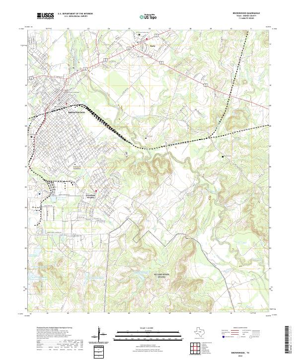 2022 Brownwood2022 Print · USGSCentral Texas at the turn of the decade reveals the continued growth of BROWNWOOD and Early along the banks of Pecan Bayou. Genealogists can trace family records at Greenleaf Cem or find the W F Brown Family Cem near the university.
 - 2022 Map of Owens, 2022 Print
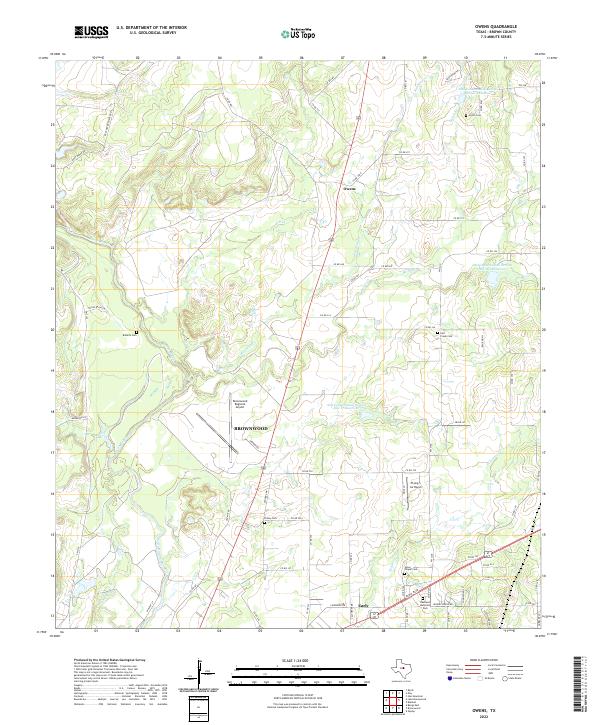 2022 Owens2022 Print · USGSThe rural landscape north of Brownwood is documented here in the early 2020s, showcasing a network of family-named creeks and historic burial grounds. Researchers can trace the paths of Pecan Bayou and locate legacy sites like Roberts Cem or Jones Chapel Cem.
End of results
Showing maps 1-15 of 15
Top cities near Brownwood
Top neighborhoods of Brownwood
Frequently asked questions
- What are the different types of historical maps available for Brownwood?
- What is the oldest map of Brownwood?
- Where can I purchase historical maps of Brownwood for my home or office?
- Where can I download high-res historical maps of Brownwood?
- Are there historical topographic maps available for Brownwood?
- Is there historical aerial imagery available for Brownwood?
- Where are historical maps of Brownwood sourced from?