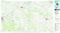
Old Maps of Brownwood, Texas for Academic Research
Study the evolution of Brownwood with 29 high-resolution historic maps. Whether you're teaching, researching, or modeling changes in land use, these maps provide essential visual documentation of urban, environmental, and geographic change.
- Analyze long-term change: Track patterns in development, transportation, and natural features.
- Ideal for environmental or urban studies: Support academic projects with primary historical map data.
- Use in the classroom or lab: Educators and researchers rely on these maps to bring historical context to life.
These maps are a powerful tool for teaching, research, and visualizing how Brownwood has changed over the decades.
Brownwood, TX maps
(29)- 1887 Map of Coleman, 1889 Print
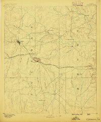 1887 Coleman1889 Print · USGSCentral Texas was undergoing a rapid transformation into a rail-connected ranching hub in the late 1880s. Local researchers can trace the early layout of Coleman and locate frontier landmarks like Camp Colorado, Byrds Store, and the Santa Anna Mountains.2 unique versions available
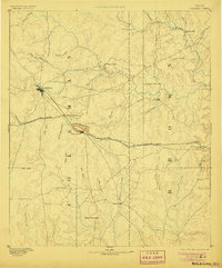
 - 1889 Map of Brownwood
 1889 Brownwood1889 Print · USGSCentral Texas ranching and rail expansion are captured here in the late nineteenth century. You can trace early family settlements and landmarks like Williams Ranch, Comanche, and the path of the Gulf Colorado and Santa Fe Railroad.
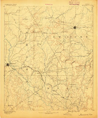
 - 1889 Map of Coleman, 1905 Print
 1889 Coleman1905 Print · USGSCentral Texas is captured in the late nineteenth century as the railroad began transforming the frontier into a network of cattle and farming towns. Genealogists can trace early homesteading hubs and remote outposts like Camp Colorado, Byrds Store, and Trickham.4 unique versions available
 - 1894 Map of Brownwood
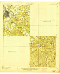
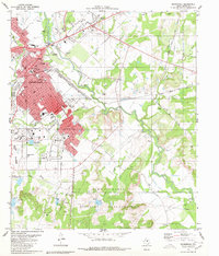
 1894 Brownwood1894 Print · USGSCentral Texas was undergoing a rapid transformation in the late nineteenth century as rail lines began to reshape the cattle country. Researchers can trace the early footprints of Brownwood, locate the historic Williams Ranch, and follow the progress of the Gulf Colorado and Santa Fe Railroad.6 unique versions available
 - 1925 Map of Brownwood 3-b
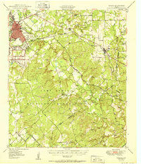
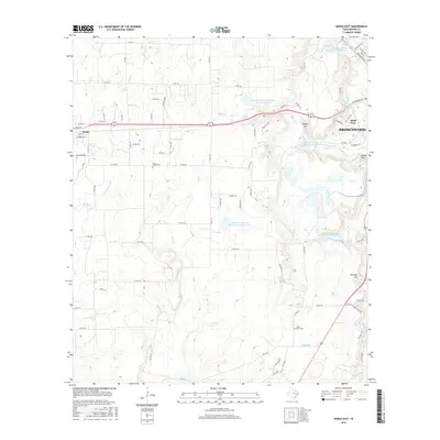
 1925 Brownwood 3-b1925 Print · USGSBrownwood flourished as a Texas railroad junction in the mid-1920s, its growth shaped by two major rail lines and the winding Pecan Bayou. Genealogists and local historians can trace rural school districts like Woodland Heights School or find the Steppes Creek Church along the old Goldthwaite Road.
 - 1928 Map of Zephyr
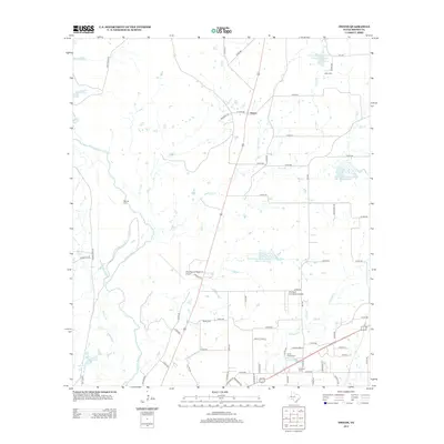
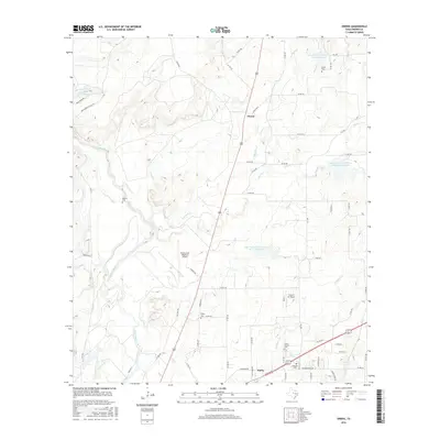
 1928 Zephyr1928 Print · USGSCentral Texas ranching and rail activity are on full display in the mid-1920s as Brownwood expands toward the southeast. Trace ancestral connections at Steppes Creek Church or locate vanished local landmarks like Slighdale School and Adams Crossing.
 - 1950 Map of Zephyr
 1950 Zephyr1950 Print · USGSBrownwood and the surrounding central Texas countryside are shown at a pivotal mid-century moment as the military and rail industries shaped the local economy. Researchers can locate the sprawling Camp Bowie Military Reservation, find local burial sites like Indian Creek Cemetery, and trace the path of the Santa Fe railroad.2 unique versions available
 - 1954 Map of Brownwood, 1955 Print
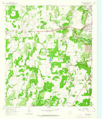
 1954 Brownwood1955 Print · USGSCentral Texas in the early fifties shows a landscape of rail-linked cattle towns and winding river valleys before modern highway expansion. Genealogists and historians can trace family-named peaks and vanished rail stops like Trickham, Santa Anna, and the Brady Mountains.3 unique versions available
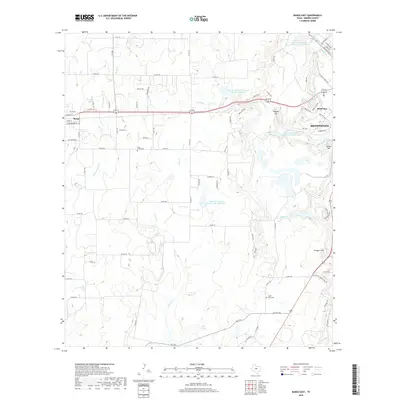
 - 1962 Map of Bangs East, 1964 Print
 1962 Bangs East1964 Print · USGSBrown County in the early sixties reveals a landscape of petroleum production and post-war growth near Bangs. Trace the expansive Brownwood Oil Field, locate family roots near Cedar Point Cem, or follow the Old Railroad Grade.3 unique versions available
 - 1966 Map of Owens, 1968 Print
 1966 Owens1968 Print · USGSBrown County in the mid-sixties shows a landscape of growing infrastructure alongside deep-rooted rural landmarks. Genealogists can locate several burial sites like Heflin Cem and Roberts Cem, while researchers can trace the Atchison Topeka and Santa Fe rail line.2 unique versions available
 - 1980 Map of Brownwood
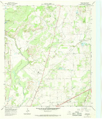
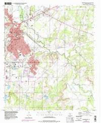
 1980 Brownwood1980 Print · USGSThe rail-and-river hub of Brownwood is documented here in the early eighties as it expanded toward Early and Ricker. Local historians can trace the limits of the Camp Bowie Military Reservation, find the Connell Cem, and locate landmarks like the MacArthur Acad of Freedom.2 unique versions available
 - 1985 Map of Coleman
 1985 Coleman1985 Print · USGSCentral Texas ranching and rail country comes to life in the 1980s as the Atchison Topeka and Santa Fe line cuts through Coleman. Researchers can trace old settlements and topography from Robinson Peak to the waters of Lake Brownwood State Park.2 unique versions available
 - 1985 Map of Comanche
 1985 Comanche1985 Print · USGSCentral Texas in the mid-eighties shows a landscape of established ranching towns and expanding reservoirs. Trace the family-named gaps and summits from Mercers Gap to Hog Mountains, alongside smaller settlements like Gentrys Mill and Hazeldell.2 unique versions available
 - 1996 Map of Brownwood, 1998 Print
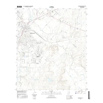
 1996 Brownwood1998 Print · USGSBrownwood and the surrounding central Texas countryside are shown in the late 1990s as the urban center expanded toward Early. Local historians can trace family ties at Greenleaf Cemetery or locate the historic Williams Ranch Road and Bowie Memorial Airpark.2 unique versions available
 - 2010 Map of Owens, 2010 Print
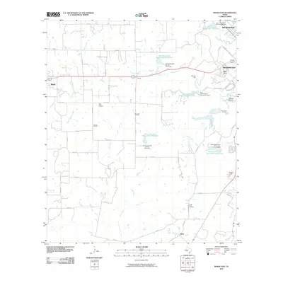
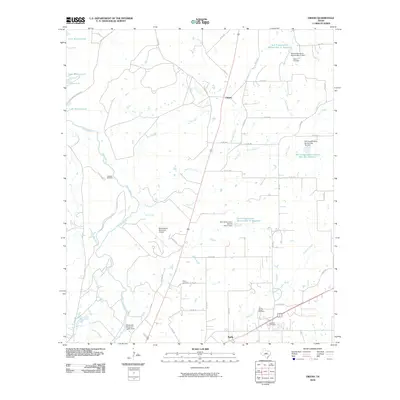 2010 Owens2010 Print · USGSCovers Brownwood, including Early, Owens, and other nearby areas
 - 2010 Map of Bangs East, 2010 Print
 2010 Bangs East2010 Print · USGSCovers Brownwood, including Bangs, Dalzell, and other nearby areas
 - 2010 Map of Brownwood, 2010 Print
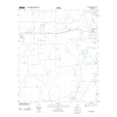
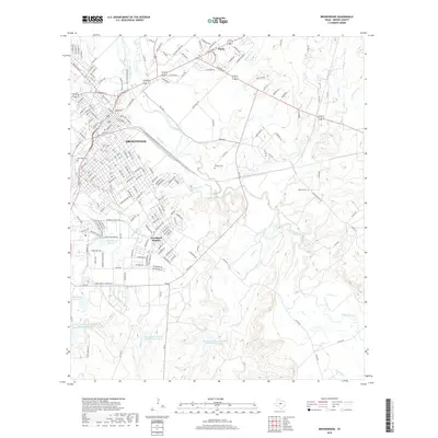
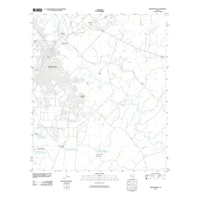 2010 Brownwood2010 Print · USGSCovers Brownwood, including Early, Woodland Heights, and other nearby areas
 - 2013 Map of Brownwood, 2013 Print
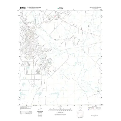 2013 Brownwood2013 Print · USGSCovers Brownwood, including Early, Woodland Heights, and other nearby areas
 - 2013 Map of Owens, 2013 Print
 2013 Owens2013 Print · USGSCovers Brownwood, including Early, Owens, and other nearby areas
 - 2013 Map of Bangs East, 2013 Print
 2013 Bangs East2013 Print · USGSCovers Brownwood, including Bangs, Dalzell, and other nearby areas
 - 2016 Map of Brownwood, 2016 Print
 2016 Brownwood2016 Print · USGSCovers Brownwood, including Early, Woodland Heights, and other nearby areas
 - 2016 Map of Owens, 2016 Print
 2016 Owens2016 Print · USGSCovers Brownwood, including Early, Owens, and other nearby areas
 - 2016 Map of Bangs East, 2016 Print
 2016 Bangs East2016 Print · USGSCovers Brownwood, including Bangs, Dalzell, and other nearby areas
 - 2019 Map of Bangs East, 2019 Print
 2019 Bangs East2019 Print · USGSCovers Brownwood, including Bangs, Dalzell, and other nearby areas
 - 2019 Map of Brownwood, 2019 Print
 2019 Brownwood2019 Print · USGSCovers Brownwood, including Early, Woodland Heights, and other nearby areas
Showing maps 1-25 of 29
Top cities near Brownwood
Top neighborhoods of Brownwood
Frequently asked questions
- What are the different types of historical maps available for Brownwood?
- What is the oldest map of Brownwood?
- Where can I purchase historical maps of Brownwood for my home or office?
- Where can I download high-res historical maps of Brownwood?
- Are there historical topographic maps available for Brownwood?
- Is there historical aerial imagery available for Brownwood?
- Where are historical maps of Brownwood sourced from?