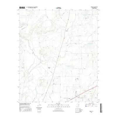
2016 Map of Owens
USGS Topo · Published 2016About this map
Pecan Bayou and its numerous tributaries, including Red Hole Cr and Elm Cr, define the drainage patterns of this Central Texas landscape near the southern edge of Lake Brownwood. The terrain is marked by the infrastructure of the Brownwood Regional Airport and the smaller Flying S Air Ranch, indicating the area's role as a regional aviation hub. This survey documents the expanding footprint of Early in the south, where Early Blvd serves as a primary corridor near Eastlawn Cem.
Find a feature on this map
73 named features on this map. Tap any name to fly to it.
Don’t see what you’re looking for? This feature index may not catch every label — zoom into the map to look around manually.
Map Details
Editions of this 2016 Owens Map
This is the sole edition of this map. No revisions or reprints were ever made.
Other maps of this area
1887 · Coleman
USGS Topo · 1:125,000
1889 · Brownwood
USGS Topo · 1:125,000
1889 · Coleman
USGS Topo · 1:125,000
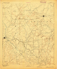
1894 · Brownwood
USGS Topo · 1:125,000
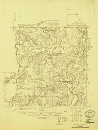
1924 · Coleman 1-a
USGS Topo · 1:48,000
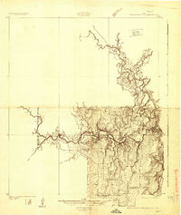
1924 · Brownwood Reservoir Site
USGS Topo · 1:48,000
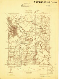
1925 · Brownwood 3-b
USGS Topo · 1:48,000
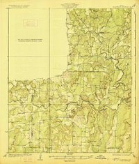
1927 · Grosvenor
USGS Topo · 1:62,500
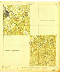
1928 · Zephyr
USGS Topo · 1:62,500
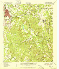
1950 · Zephyr
USGS Topo · 1:62,500