2020s Maps of South Padre Island, Texas
Explore 4 historic maps of South Padre Island from the 2020s. These maps offer a rare glimpse into what life looked like during the 2020s — showing old roads, neighborhoods, homes, and landmarks that have changed or disappeared over time.
Whether you're researching your family's past, planning a metal detecting trip, or studying how South Padre Island's landscape evolved across the 2020s, these high-resolution maps are a powerful tool for exploring the history of this region.
- Focus on a specific era: All maps on this page are from the 2020s, giving you a focused view of this time period.
- See what’s changed: Compare century-old streets, trails, and buildings to today's modern landscape using overlays and satellite layers.
- Research with precision: Use these maps for genealogy, historical research, land use analysis, or educational projects.
- View, download, or print: Maps are fully viewable online in high resolution, and can be downloaded or printed for your own records.
Start exploring South Padre Island's history through authentic maps from the 2020s. This is your window into the past.
South Padre Island, TX maps
(4)- 2022 Map of Port Isabel NW, 2022 Print
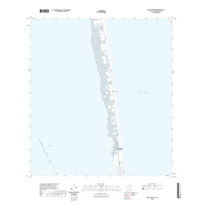 2022 Port Isabel NW2022 Print · USGSCovers South Padre Island, including Cameron County, United States, and other nearby areas
 - 2022 Map of Port Isabel, 2022 Print
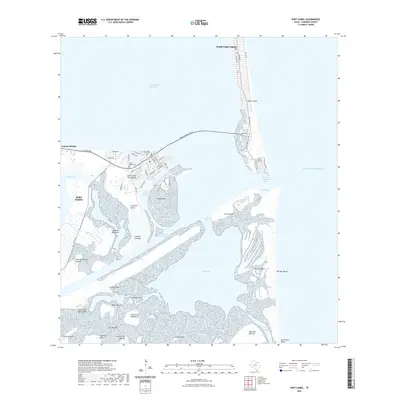 2022 Port Isabel2022 Print · USGSCovers South Padre Island, including Port Isabel, Cameron County, and other nearby areas
 - 2025 Map of Port Isabel NW, 2025 Print
 2025 Port Isabel NW2025 Print · USGSThe Texas coastline at the southern tip of the state is defined by the thin barrier of Padre Island and its expanding coastal community. Trace the growth of South Padre Island along Padre Blvd and the Intracoastal Waterway.
 - 2025 Map of Port Isabel, 2025 Print
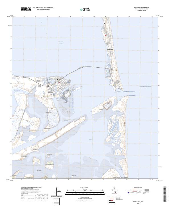 2025 Port Isabel2025 Print · USGSPort Isabel and the barrier islands of the Texas coast are shown here in detail during the mid-2020s. Researchers can trace the layout of the Port Isabel waterfront, locate the Port Isabel City Cem, or follow the Brownsville Ship Channel through the coastal lagoons.
End of results
Showing maps 1-4 of 4
Top cities near South Padre Island
- Brownsville historical maps
- Port Isabel historical maps
- Laguna Vista historical maps
- Bayview historical maps
Frequently asked questions
- What are the different types of historical maps available for South Padre Island?
- What is the oldest map of South Padre Island?
- Where can I purchase historical maps of South Padre Island for my home or office?
- Where can I download high-res historical maps of South Padre Island?
- Are there historical topographic maps available for South Padre Island?
- Is there historical aerial imagery available for South Padre Island?
- Where are historical maps of South Padre Island sourced from?