Old Maps of South Padre Island, Texas for Hiking & Exploration
Hike through history with 24 historic maps of South Padre Island. Explore old trails, ghost towns, and forgotten backroads — perfect for outdoor adventurers and local explorers.
- Rediscover forgotten places: Map out old mining camps, roads, and footpaths that no longer exist on modern maps.
- Layer with modern tools: Combine with LiDAR or satellite views to plan hikes through historical terrain.
- Made for exploration: Popular among hikers, overlanders, and local history lovers.
Use these maps to find adventure and explore the hidden past of South Padre Island.
South Padre Island, TX maps
(24)- 1929 Map of Point Isabel
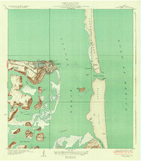
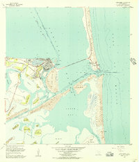
 1929 Point Isabel1929 Print · USGSCoastal Texas life in the late twenties centered on the rail-to-sea connection at the tip of the Laguna Madre. Genealogists and historians can trace early infrastructure like the Plank Road on Padre Island and the Rio Grande Valley Railway depot at Point Isabel.
 - 1930 Map of Padre Island No. 1
 1930 Padre Island No. 11930 Print · USGSThe South Texas coast in 1930 appears as a quiet landscape of shifting sands and tidal reaches. Researchers can trace the early topography of Padre Island, the vast Laguna Madre shoreline, and the curious site of an (Abandoned Hotel).
 - 1934 Map of Port Isabel
 1934 Port Isabel1934 Print · USGSCoastal Cameron County in the early thirties reveals a burgeoning maritime hub at the edge of the Laguna Madre. Trace the early infrastructure of Port Isabel, from the Rio Grande Valley RR terminus to the Plank Road on Padre Island.2 unique versions available
 - 1935 Map of Padre Island No 1
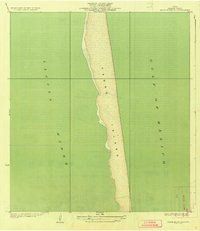 1935 Padre Island No 11935 Print · USGSThe South Texas barrier coast appears in its pre-development state during the mid-1930s, showing the wild stretch of Padre Island. Researchers can trace the original shoreline and the vast waters of the Laguna Madre and the Gulf of Mexico.2 unique versions available
 - 1953 Map of Brownsville
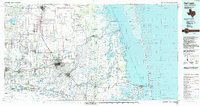
 1953 Brownsville1953 Print · USGSSouth Texas ranchlands and the Lower Rio Grande Valley are captured here in the early fifties as the region's irrigation and shipping networks expanded. Genealogists and historians can trace family landholdings like Tecolote Ranch or follow the route of the St Louis Brownsville and Mexico rail line through Sebastian and Yturria.
 - 1955 Map of Port Isabel NW, 1956 Print
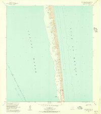 1955 Port Isabel NW1956 Print · USGSCoastal Cameron County comes into focus in the mid-1950s, showing the early infrastructure of Padre Island. Researchers can trace the original shoreline at Long Point and find markers for navigation like the Intracoastal Waterway and Andy Bowie Park.4 unique versions available
 - 1955 Map of Port Isabel, 1957 Print
 1955 Port Isabel1957 Print · USGSCoastal Cameron County comes into focus in the mid-fifties, just as the barrier islands began to develop for tourism. Trace the early Queen Isabella Causeway, the Missouri Pacific Railroad terminus, and family-named lomas like Loma Ochoa.
 - 1955 Map of Port Isabel, 1957 Print
 1955 Port Isabel1957 Print · USGSPort Isabel and the surrounding barrier islands are captured in the mid-fifties as the region developed into a vital maritime and industrial hub. Trace the early layout of Isla Blanca Park, the path of the Queen Isabella Causeway, and numerous coastal lomas like Loma del Mesquite.4 unique versions available
 - 1956 Map of Brownsville, 1969 Print
 1956 Brownsville1969 Print · USGSThe Texas-Mexico borderlands and the Gulf coast come alive in this mid-century survey of the Rio Grande Valley. Genealogists and historians can trace the reach of the Missouri Pacific rail lines through citrus country to schools like Las Yescas and Palm Grove.2 unique versions available
 - 1956 Map of Port Isabel, 1983 Print
 1956 Port Isabel1983 Print · USGSCoastal Texas and the Rio Grande Valley are shown here in the mid-twentieth century as the region balanced intensive agriculture with maritime trade. Researchers can trace historic rail lines like the SOUTHERN PACIFIC and locate rural landmarks such as Las Yescas Sch or the Armstrong Ranch.
 - 1962 Map of Brownsville
 1962 Brownsville1962 Print · USGSThe Lower Rio Grande Valley in the early sixties was a landscape of coastal wildlands, booming oil fields, and international border commerce. Trace the development of this frontier region through landmarks like Harlingen Air Force Base, Boca Chica Island, and the Willamar Oil Field.
 - 1992 Map of Harlingen
 1992 Harlingen1992 Print · USGSSouth Texas in the early nineties shows a landscape defined by industrial growth and coastal conservation along the Rio Grande. Trace the rail lines of the Missouri Pacific through Raymondville or locate the historic Palo Alto Battlefield near Port Isabel.
 - 2010 Map of Port Isabel, 2010 Print
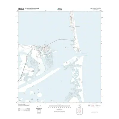
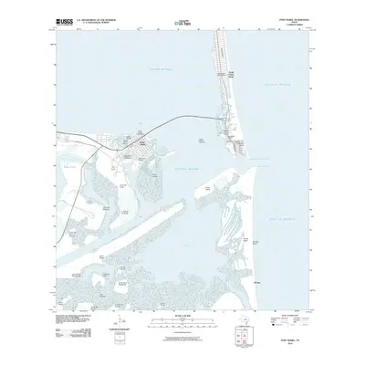 2010 Port Isabel2010 Print · USGSCovers South Padre Island, including Port Isabel, Cameron County, and other nearby areas
 - 2010 Map of Port Isabel NW, 2010 Print
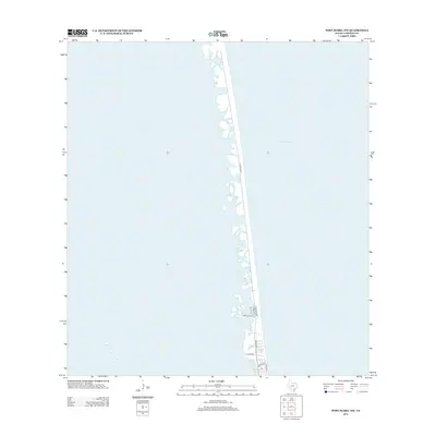
 2010 Port Isabel NW2010 Print · USGSCovers South Padre Island, including Cameron County, United States, and other nearby areas
 - 2013 Map of Port Isabel, 2013 Print
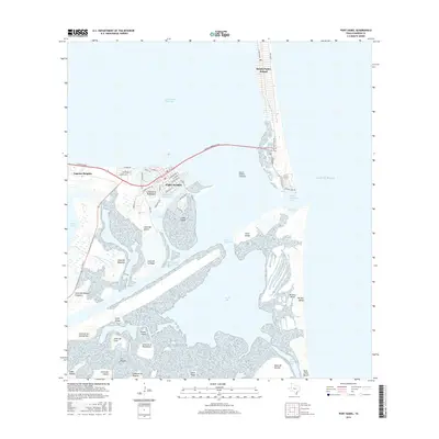
 2013 Port Isabel2013 Print · USGSCovers South Padre Island, including Port Isabel, Cameron County, and other nearby areas
 - 2013 Map of Port Isabel NW, 2013 Print
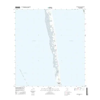
 2013 Port Isabel NW2013 Print · USGSCovers South Padre Island, including Cameron County, United States, and other nearby areas
 - 2016 Map of Port Isabel, 2016 Print
 2016 Port Isabel2016 Print · USGSCovers South Padre Island, including Port Isabel, Cameron County, and other nearby areas
 - 2016 Map of Port Isabel NW, 2016 Print
 2016 Port Isabel NW2016 Print · USGSCovers South Padre Island, including Cameron County, United States, and other nearby areas
 - 2019 Map of Port Isabel NW, 2019 Print
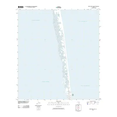
 2019 Port Isabel NW2019 Print · USGSCovers South Padre Island, including Cameron County, United States, and other nearby areas
 - 2019 Map of Port Isabel, 2019 Print
 2019 Port Isabel2019 Print · USGSCovers South Padre Island, including Port Isabel, Cameron County, and other nearby areas
 - 2022 Map of Port Isabel NW, 2022 Print
 2022 Port Isabel NW2022 Print · USGSCovers South Padre Island, including Cameron County, United States, and other nearby areas
 - 2022 Map of Port Isabel, 2022 Print
 2022 Port Isabel2022 Print · USGSCovers South Padre Island, including Port Isabel, Cameron County, and other nearby areas
 - 2025 Map of Port Isabel NW, 2025 Print
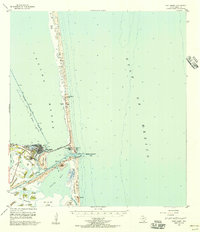
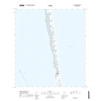
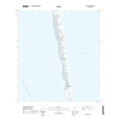
 2025 Port Isabel NW2025 Print · USGSThe Texas coastline at the southern tip of the state is defined by the thin barrier of Padre Island and its expanding coastal community. Trace the growth of South Padre Island along Padre Blvd and the Intracoastal Waterway.
 - 2025 Map of Port Isabel, 2025 Print
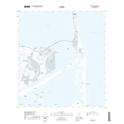
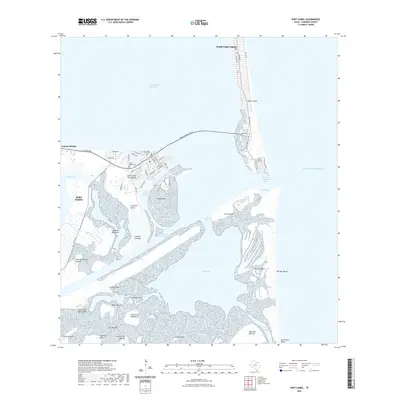
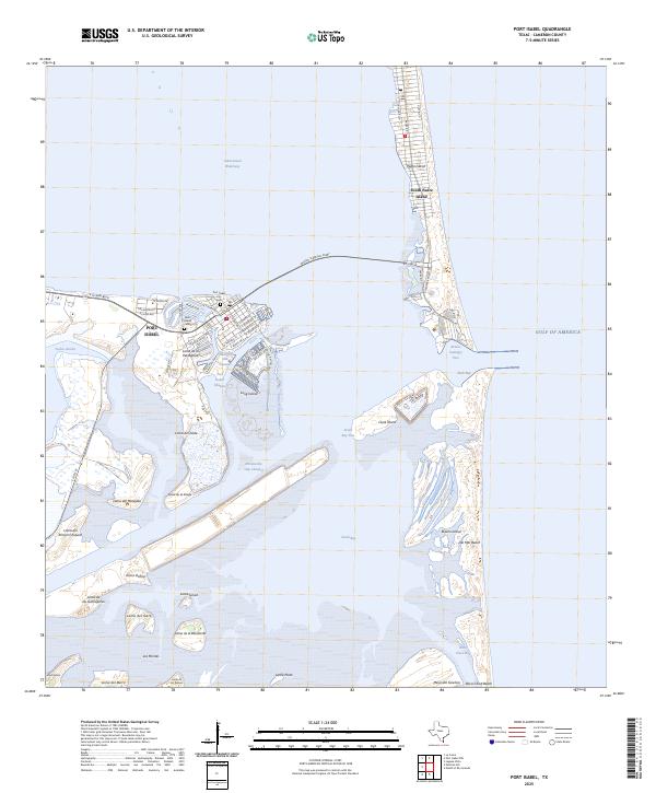 2025 Port Isabel2025 Print · USGSPort Isabel and the barrier islands of the Texas coast are shown here in detail during the mid-2020s. Researchers can trace the layout of the Port Isabel waterfront, locate the Port Isabel City Cem, or follow the Brownsville Ship Channel through the coastal lagoons.
End of results
Showing maps 1-24 of 24
Top cities near South Padre Island
- Brownsville historical maps
- Port Isabel historical maps
- Laguna Vista historical maps
- Bayview historical maps
Frequently asked questions
- What are the different types of historical maps available for South Padre Island?
- What is the oldest map of South Padre Island?
- Where can I purchase historical maps of South Padre Island for my home or office?
- Where can I download high-res historical maps of South Padre Island?
- Are there historical topographic maps available for South Padre Island?
- Is there historical aerial imagery available for South Padre Island?
- Where are historical maps of South Padre Island sourced from?