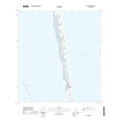
2022 Map of Port Isabel NW
USGS Topo · Published 2022About this map
Padre Island forms a narrow, protective barrier between the shallow Laguna Madre and the deep waters of the Gulf of Mexico. In the southern portion of this reach, the settlement of South Padre Island is concentrated along the shoreline, structured by a grid of coastal thoroughfares including Ocean Blvd, Gulf Blvd, and Padre Blvd. The map illustrates the fragile coastal geometry of the Texas shoreline, where the developed beachfront of Shore Dr meets the shifting sands of the barrier island. To the west, the Intracoastal Waterway cuts through the bay, serving as a critical navigation artery for maritime traffic sheltered from the open sea. This 2022 survey documents the modern extent of coastal development and the environmental interface of this significant landform.
Find a feature on this map
8 named features on this map. Tap any name to fly to it.
Don’t see what you’re looking for? This feature index may not catch every label — zoom into the map to look around manually.
Map Details
Editions of this 2022 Port Isabel NW Map
This is the sole edition of this map. No revisions or reprints were ever made.
Other maps of this area

1929 · La Coma
USGS Topo · 1:24,000

1929 · Point Isabel
USGS Topo · 1:24,000

1929 · Buena Vista
USGS Topo · 1:24,000

1929 · Laguna Vista
USGS Topo · 1:24,000

1930 · Padre Island No. 1
USGS Topo · 1:24,000

1930 · Padre Island No. 2
USGS Topo · 1:24,000

1934 · Port Isabel
USGS Topo · 1:31,680

1934 · La Coma
USGS Topo · 1:31,680

1935 · Padre Island No 1
USGS Topo · 1:31,680

1935 · Padre Island NO. 2
USGS Topo · 1:31,680