Old Maps of Panhandle, Texas for Academic Research
Study the evolution of Panhandle with 15 high-resolution historic maps. Whether you're teaching, researching, or modeling changes in land use, these maps provide essential visual documentation of urban, environmental, and geographic change.
- Analyze long-term change: Track patterns in development, transportation, and natural features.
- Ideal for environmental or urban studies: Support academic projects with primary historical map data.
- Use in the classroom or lab: Educators and researchers rely on these maps to bring historical context to life.
These maps are a powerful tool for teaching, research, and visualizing how Panhandle has changed over the decades.
Panhandle, TX maps
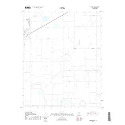
(15)- 1954 Map of Amarillo, 1966 Print
 1954 Amarillo1966 Print · USGSThe Texas Panhandle in the mid-1960s shows a landscape of rising industrial power and deep-rooted ranching tradition. Local historians can trace the paths of the Panhandle and Santa Fe railroad or locate sites like the Pantex Ordnance Plant and Mobeetie.2 unique versions available
 - 1958 Map of Amarillo
 1958 Amarillo1958 Print · USGSThe Texas Panhandle in the mid-1950s reveals a landscape of expanding military installations and oil-rich rail towns. Local historians can trace the development of Amarillo Air Force Base or locate smaller settlements like Magic City and New Mobeetie.
 - 1966 Map of Panhandle West, 1967 Print
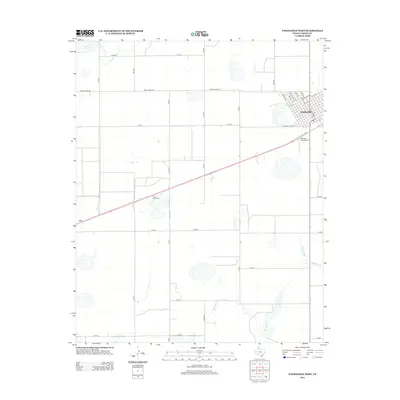
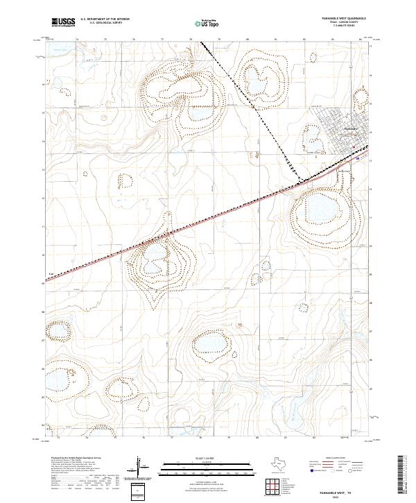
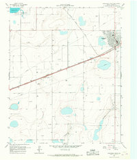 1966 Panhandle West1967 Print · USGSThe High Plains of Carson County come into focus in the mid-1960s, centered on the rail hub of Panhandle. Genealogists and historians can trace the early township at Lee, locate the landmark Bois d'Arc Tree, and explore the infrastructure of the Military Reservation.
 - 1966 Map of Panhandle East, 1967 Print
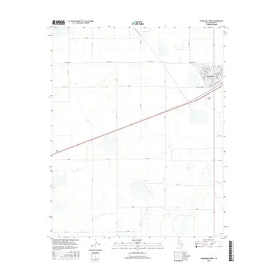
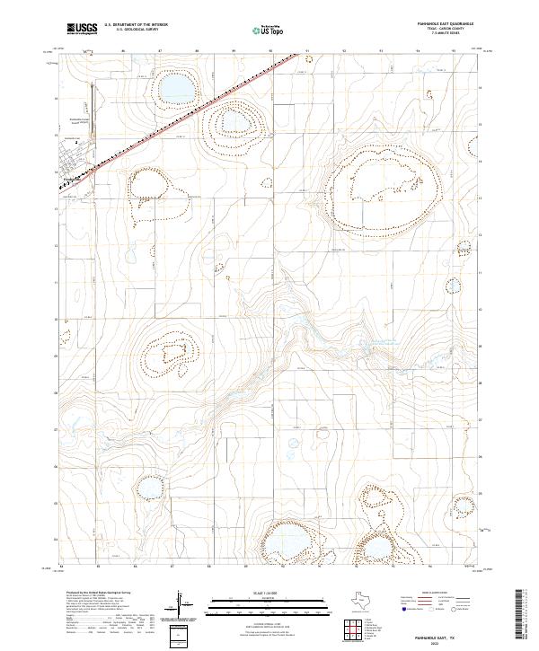
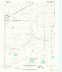 1966 Panhandle East1967 Print · USGSCarson County's high plains economy is on full display in the mid-1960s as the railroad and agricultural industry converge. Trace the rail siding at Panhandle past the Grain Elevator or locate rural landmarks like Heaston and the local Cem.
 - 1986 Map of Amarillo
 1986 Amarillo1986 Print · USGSAmarillo and the surrounding Texas Panhandle are captured here in the mid-eighties as a hub of energy, agriculture, and transport. Researchers can trace the sprawling Pantex Plant, the rail-side growth of Panhandle, and the deep cuts of Palo Duro Canyon.2 unique versions available
 - 2010 Map of Panhandle West, 2010 Print
 2010 Panhandle West2010 Print · USGSCovers Panhandle, including Carson County, United States, and other nearby areas
 - 2010 Map of Panhandle East, 2010 Print
 2010 Panhandle East2010 Print · USGSCovers Panhandle, including Carson County, United States, and other nearby areas
 - 2012 Map of Panhandle West, 2012 Print
 2012 Panhandle West2012 Print · USGSCovers Panhandle, including Carson County, United States, and other nearby areas
 - 2012 Map of Panhandle East, 2012 Print
 2012 Panhandle East2012 Print · USGSCovers Panhandle, including Carson County, United States, and other nearby areas
 - 2016 Map of Panhandle West, 2016 Print
 2016 Panhandle West2016 Print · USGSCovers Panhandle, including Carson County, United States, and other nearby areas
 - 2016 Map of Panhandle East, 2016 Print
 2016 Panhandle East2016 Print · USGSCovers Panhandle, including Carson County, United States, and other nearby areas
 - 2019 Map of Panhandle West, 2019 Print
 2019 Panhandle West2019 Print · USGSCovers Panhandle, including Carson County, United States, and other nearby areas
 - 2019 Map of Panhandle East, 2019 Print
 2019 Panhandle East2019 Print · USGSCovers Panhandle, including Carson County, United States, and other nearby areas
 - 2022 Map of Panhandle East, 2022 Print
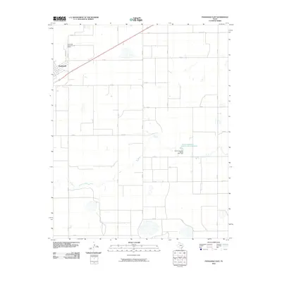
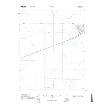
 2022 Panhandle East2022 Print · USGSPanhandle and the surrounding Carson County plains are captured here in the early twenty-first century. Researchers can trace local lineage at the Panhandle Cem or follow the drainage of McClellan Cr through the agricultural grid.
 - 2022 Map of Panhandle West, 2022 Print
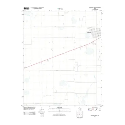
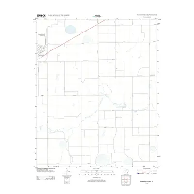
 2022 Panhandle West2022 Print · USGSThe Texas High Plains and the town of Panhandle come into focus in this recent survey of Carson County. Genealogists and local historians can trace the street grid near the Carson County Courthouse or locate Stamps Field and the outlying community of Lee.
End of results
Showing maps 1-15 of 15
Top cities near Panhandle
Frequently asked questions
- What are the different types of historical maps available for Panhandle?
- What is the oldest map of Panhandle?
- Where can I purchase historical maps of Panhandle for my home or office?
- Where can I download high-res historical maps of Panhandle?
- Are there historical topographic maps available for Panhandle?
- Is there historical aerial imagery available for Panhandle?
- Where are historical maps of Panhandle sourced from?