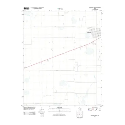
2010 Map of Panhandle West
USGS Topo · Published 2010About this map
Panhandle serves as the focal point of this Carson County landscape, where the town's organized grid meets the sprawling agricultural expanse of the Texas Panhandle. The map documents a classic High Plains settlement pattern, dominated by a geometric network of county roads like Co RD 13 and Country Club Rd that divide the terrain into vast sections. Notable landmarks include Stamps Field and the curious Bois D'Arc Tree marker, indicating specific points of interest in an otherwise open landscape. Hydrological features are sparse but significant, defined by Pantex Lake in the northwest and the winding course of McClellan Creek to the south. The presence of the small settlement of Lee and the transit corridors of FM 293 and FM 1342 illustrate the enduring importance of rural road networks in connecting these isolated High Plains communities.
Find a feature on this map
21 named features on this map. Tap any name to fly to it.
Don’t see what you’re looking for? This feature index may not catch every label — zoom into the map to look around manually.
Map Details
Editions of this 2010 Panhandle West Map
This is the sole edition of this map. No revisions or reprints were ever made.
Other maps of this area

1953 · Pomeroy
USGS Topo · 1:24,000

1953 · Sevenmile Basin
USGS Topo · 1:24,000

1954 · Amarillo
USGS Topo · 1:250,000

1956 · Washburn
USGS Topo · 1:24,000

1958 · Amarillo
USGS Topo · 1:250,000

1960 · Claude
USGS Topo · 1:62,500

1965 · Abell
USGS Topo · 1:24,000

1966 · Panhandle West
USGS Topo · 1:24,000

1966 · Panhandle East
USGS Topo · 1:24,000

1966 · Cuyler
USGS Topo · 1:24,000