Old Maps of Domino, Texas for Metal Detecting
Plan your next treasure hunt with 32 historic maps of Domino. Find old homesites, ghost towns, trails, and gathering spots that may be lost to time — perfect for identifying promising metal detecting locations.
- Locate forgotten sites: Uncover places like long-lost settlements, abandoned rail lines, or gathering spots.
- Plan better hunts: Use map overlays combined with LiDAR or satellite views to narrow in on historically rich areas.
- Made for detectorists: Thousands of hobbyists use these maps to discover relics, coins, and hidden history.
Use these historic maps to boost your research and find new opportunities beneath the surface of Domino.
Domino, TX maps
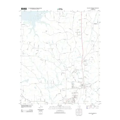
(32)- 1907 Map of Atlanta, 1954 Print
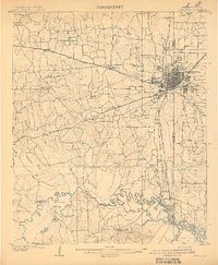
 1907 Atlanta1954 Print · USGSNorthwest Louisiana and Northeast Texas meet in this early century survey of the rail-and-timber corridor surrounding Atlanta. Researchers can trace the heritage of rural communities through dozens of local landmarks like Laws Chapel, Pritchard's Gin, and the Cass Lumber Co Sawmill.2 unique versions available
 - 1909 Map of Texarkana
 1909 Texarkana1909 Print · USGSTexarkana emerged as a bustling tri-state rail center at the dawn of the twentieth century, defined by its complex web of iron roads and river commerce. Genealogists and local historians can trace family roots at White Chapel, the Stateline Ferry, and rural sites like Alamo Mills.5 unique versions available
 - 1910 Map of Atlanta
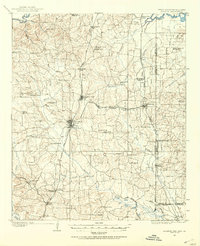
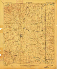 1910 Atlanta1910 Print · USGSNortheast Texas at the height of the timber boom is captured here, showing the intricate network of sawmills and rail lines crossing into Arkansas and Louisiana. Genealogists can locate family landmarks like Laws Chapel, Hosey's Store, and the Henderson Hill School among the many rural settlements.2 unique versions available
 - 1953 Map of Texarkana, 1964 Print
 1953 Texarkana1964 Print · USGSThe Texas-Arkansas borderlands are captured here in the mid-fifties, during a decade of massive military and hydraulic engineering projects. Genealogists and researchers can locate family landmarks like Old Boston Cem, Siloam Ch, and the vast Red River Arsenal.4 unique versions available
 - 1954 Map of Domino, 1955 Print
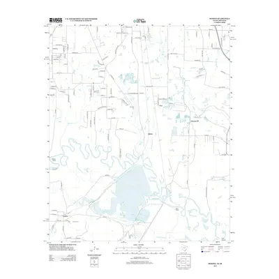
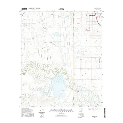
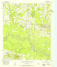 1954 Domino1955 Print · USGSCrossing the Texas and Arkansas border in the mid-fifties, this area shows a landscape defined by the winding Sulphur River and active gravel mining. Genealogists can locate rural landmarks like Buchanan Cem, Bright Star Ch, and the settlement of Domino.5 unique versions available
 - 1954 Map of Lake Texarkana, 1955 Print
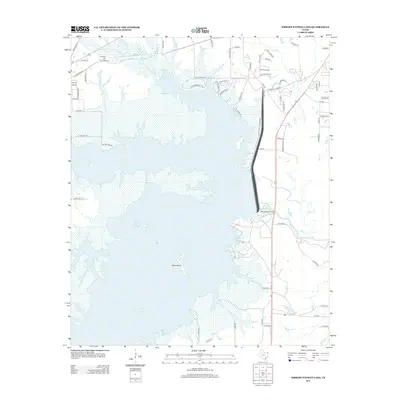
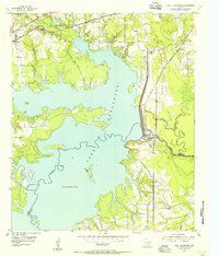 1954 Lake Texarkana1955 Print · USGSNortheast Texas is captured here in the mid-fifties during the transformation of the Sulphur River valley. Genealogists and historians can locate rural landmarks like Opossum Trot Church, the Holloway Cem, and the crossing at McCartney Bridge.6 unique versions available
 - 1954 Map of Texarkana, 1960 Print
 1954 Texarkana1960 Print · USGSTexarkana and its surrounding borderlands are captured at a mid-century peak of industrial and suburban growth. Genealogists and historians can trace the foundations of Wake Village, locate the Red River Arsenal, and find rural landmarks like Hampton Chapel and Red Springs Cem.2 unique versions available
 - 1956 Map of Texarkana
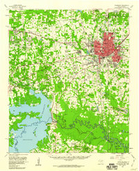
 1956 Texarkana1956 Print · USGSThe Ark-La-Tex borderlands come alive in the mid-fifties, showing the transition from a rail-dependent rural economy to a post-war industrial landscape. Researchers can trace the massive Red River Ordnance Depot and find towns like Talco, Bogata, and Naples.
 - 1969 Map of Bloomburg, 1972 Print
 1969 Bloomburg1972 Print · USGSThe Texas-Arkansas borderlands in the late sixties are captured here as a landscape of timbered creek bottoms and small railroad towns. Genealogists can locate specific rural landmarks like Macedonia Cem, Golden Gate Ch, and the community of Bloomburg.
 - 1969 Map of Atlanta North, 1972 Print
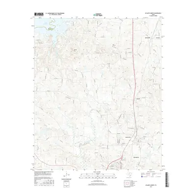
 1969 Atlanta North1972 Print · USGSNorthern Cass County during the late sixties shows a mix of growing towns and rural tradition. Genealogists can trace family names at Forest Home Cem or locate historic congregations at Shady Grove Ch and Courtland Ch.2 unique versions available
 - 1986 Map of Texarkana
 1986 Texarkana1986 Print · USGSThe Texas-Arkansas borderlands are captured here in the mid-eighties as a hub of military industry and river-basin geography. Genealogists and local historians can locate rural landmarks like Red Hill Cem, Coopers Chapel, and the Lone Star Army Ammunition Plant.
 - 1992 Map of Texarkana
 1992 Texarkana1992 Print · USGSThe Ark-La-Tex border region comes into focus in the early nineties, centered on the sprawling waters of Wright Patman Lake. Genealogists and historians can trace rail-town development and rural roots through Old Union Cem, the Red River Army Depot, and Dalby Springs Cem.
 - 2010 Map of Atlanta North, 2010 Print
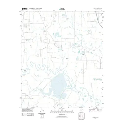
 2010 Atlanta North2010 Print · USGSCovers Domino, including Atlanta, Queen City, and other nearby areas
 - 2010 Map of Wright Patman Lake, 2010 Print
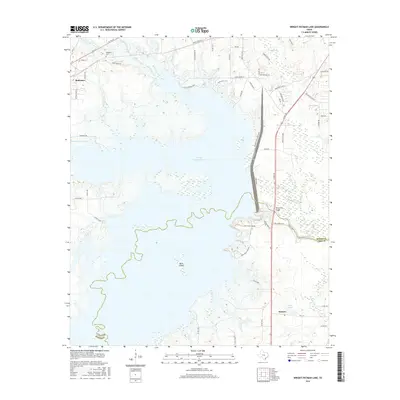
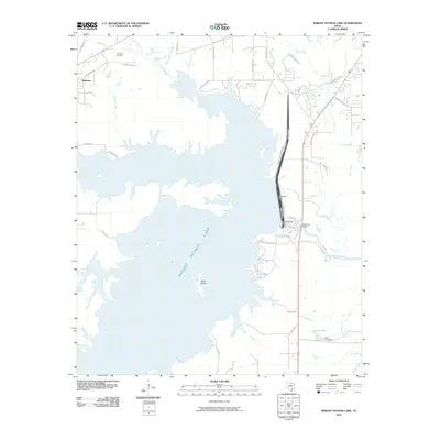 2010 Wright Patman Lake2010 Print · USGSCovers Domino, including Redwater, Bowie County, and other nearby areas
 - 2011 Map of Bloomburg, 2011 Print
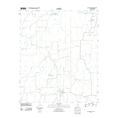 2011 Bloomburg2011 Print · USGSCovers Domino, including Atlanta, Bloomburg, and other nearby areas
 - 2011 Map of Domino, 2011 Print
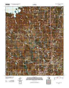
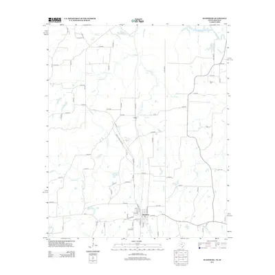
 2011 Domino2011 Print · USGSCovers Domino, including Texarkana, Pleasant Hill, and other nearby areas
 - 2012 Map of Atlanta North, 2012 Print
 2012 Atlanta North2012 Print · USGSCovers Domino, including Atlanta, Queen City, and other nearby areas
 - 2013 Map of Domino, 2013 Print
 2013 Domino2013 Print · USGSCovers Domino, including Texarkana, Pleasant Hill, and other nearby areas
 - 2013 Map of Bloomburg, 2013 Print
 2013 Bloomburg2013 Print · USGSCovers Domino, including Atlanta, Bloomburg, and other nearby areas
 - 2013 Map of Wright Patman Lake, 2013 Print
 2013 Wright Patman Lake2013 Print · USGSCovers Domino, including Redwater, Bowie County, and other nearby areas
 - 2016 Map of Domino, 2016 Print
 2016 Domino2016 Print · USGSCovers Domino, including Texarkana, Pleasant Hill, and other nearby areas
 - 2016 Map of Atlanta North, 2016 Print
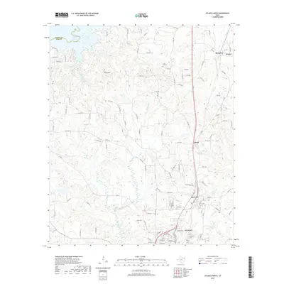
 2016 Atlanta North2016 Print · USGSCovers Domino, including Atlanta, Queen City, and other nearby areas
 - 2016 Map of Wright Patman Lake, 2016 Print
 2016 Wright Patman Lake2016 Print · USGSCovers Domino, including Redwater, Bowie County, and other nearby areas
 - 2016 Map of Bloomburg, 2016 Print
 2016 Bloomburg2016 Print · USGSCovers Domino, including Atlanta, Bloomburg, and other nearby areas
 - 2019 Map of Atlanta North, 2019 Print
 2019 Atlanta North2019 Print · USGSCovers Domino, including Atlanta, Queen City, and other nearby areas
Showing maps 1-25 of 32
Top cities near Domino
- Texarkana historical maps
- Texarkana historical maps
- Wake Village historical maps
- Atlanta historical maps
- Nash historical maps
- Hooks historical maps
See more
Frequently asked questions
- What are the different types of historical maps available for Domino?
- What is the oldest map of Domino?
- Where can I purchase historical maps of Domino for my home or office?
- Where can I download high-res historical maps of Domino?
- Are there historical topographic maps available for Domino?
- Is there historical aerial imagery available for Domino?
- Where are historical maps of Domino sourced from?