
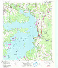
1954 Map of Lake Texarkana
USGS Topo · Published 1955About this map
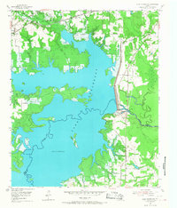
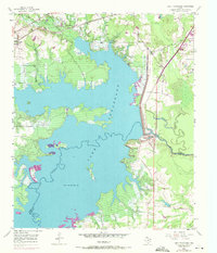
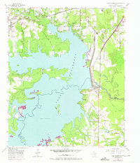
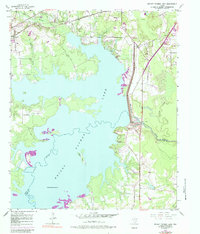
Lake Texarkana dominates this mid-1950s landscape, its jagged shoreline and rising waters reflecting a period of significant hydraulic engineering along the Sulphur River. The impoundment reached a normal pool elevation of 225 feet by the time of this field check, creating new landforms like Bells Island while submerging the lowlands of Bowie and Cass counties. The newly constructed Texarkana Dam and the adjacent Water Intake Tower stand as central monuments to the region's mid-century development.
Find a feature on this map
19 named features on this map. Tap any name to fly to it.
Don’t see what you’re looking for? This feature index may not catch every label — zoom into the map to look around manually.
Map Details
Editions of this 1954 Lake Texarkana Map
6 editions found
Other maps of this area

1907 · Atlanta
USGS Topo · 1:62,500

1909 · New Boston
USGS Topo · 1:62,500

1909 · Texarkana
USGS Topo · 1:62,500

1910 · Linden
USGS Topo · 1:62,500

1910 · Atlanta
USGS Topo · 1:62,500

1953 · Texarkana
USGS Topo · 1:250,000

1954 · Texarkana
USGS Topo · 1:24,000

1954 · Domino
USGS Topo · 1:24,000

1954 · Leary
USGS Topo · 1:24,000

1954 · Hooks
USGS Topo · 1:24,000