2010s Maps of Chambers County, Texas
Explore 108 historic maps of Chambers County from the 2010s. These maps offer a rare glimpse into what life looked like during the 2010s — showing old roads, neighborhoods, homes, and landmarks that have changed or disappeared over time.
Whether you're researching your family's past, planning a metal detecting trip, or studying how Chambers County's landscape evolved across the 2010s, these high-resolution maps are a powerful tool for exploring the history of this region.
- Focus on a specific era: All maps on this page are from the 2010s, giving you a focused view of this time period.
- See what’s changed: Compare century-old streets, trails, and buildings to today's modern landscape using overlays and satellite layers.
- Research with precision: Use these maps for genealogy, historical research, land use analysis, or educational projects.
- View, download, or print: Maps are fully viewable online in high resolution, and can be downloaded or printed for your own records.
Start exploring Chambers County's history through authentic maps from the 2010s. This is your window into the past.
Chambers County, TX maps
(108)- 2010 Map of Lake Stephenson, 2010 Print
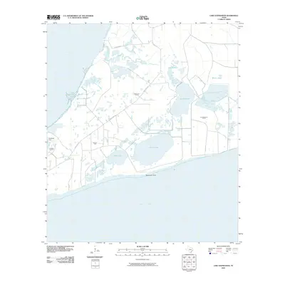 2010 Lake Stephenson2010 Print · USGSThe coastal wetlands of the Texas coast are documented here in the early twenty-first century as industry and environment meet along the bays. Researchers can trace family history at Frankland Cemetery or map the footprints of the White Lake Oil Field and Lake Surprise.
 - 2010 Map of Hamshire, 2010 Print
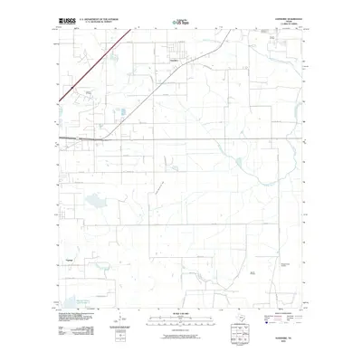 2010 Hamshire2010 Print · USGSThe Jefferson County coastal prairie in the early 21st century reveals a landscape shaped by petroleum and bayous. Researchers can trace the boundaries of the Stowell Oil Field or locate rural homesteads near Hamshire, Figridge, and Woodrow Cemetery.
 - 2010 Map of Fannett West, 2010 Print
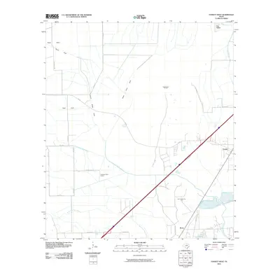 2010 Fannett West2010 Print · USGSCoastal Jefferson County in the early 2000s reveals a landscape where oil and gas production sits alongside traditional ranching. Researchers can locate family landmarks and industrial sites like the Gilbert Ranch Oil Field, New Bethel, and Broussard Farm Airport.
 - 2010 Map of Mont Belvieu, 2010 Print
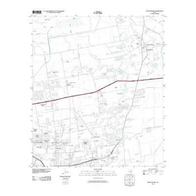 2010 Mont Belvieu2010 Print · USGSMont Belvieu and the Harris County bayou country are shown here in a period of significant industrial and suburban transition. Genealogists and historians can trace family roots through Williams and Morgan Cemetery, or locate the sprawling Barbers Hill Oil Field and San Jacinto Mall.
 - 2010 Map of Bacliff, 2010 Print
 2010 Bacliff2010 Print · USGSThe western shores of Galveston Bay are captured here during a period of coastal residential growth. Researchers can trace local development in Bacliff and San Leon or locate family sites near Seabrook Cemetery and Red Bluff.
 - 2010 Map of Oyster Bayou, 2010 Print
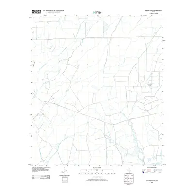 2010 Oyster Bayou2010 Print · USGSThis coastal Texas landscape in 2010 shows the intersection of the petroleum industry and local heritage. Genealogists and researchers can trace the location of Jackson Cemetery and the industrial layout of the Oyster Bayou Oil Field.
 - 2010 Map of Whites Ranch, 2010 Print
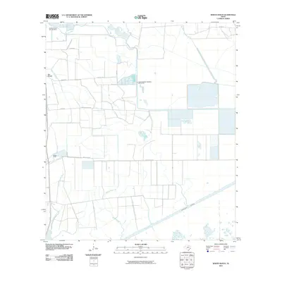 2010 Whites Ranch2010 Print · USGSCoastal Chambers County in the early twenty-first century reveals an intricate network of saltwater barriers and ranching roads. Genealogists and local historians can trace family land at Whites Ranch or study the hydraulic engineering of Spindletop Bayou and the Intracoastal Waterway.
 - 2010 Map of Anahuac, 2010 Print
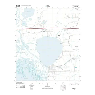 2010 Anahuac2010 Print · USGSCoastal Texas at the turn of the decade reveals a landscape of river deltas and historic bayous. Researchers can trace local heritage through sites like Old Fort Anahuac and numerous family plots including Wiggins Cemetery and Barnes Cemetery.
 - 2010 Map of Oak Island, 2010 Print
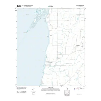 2010 Oak Island2010 Print · USGSCoastal Chambers County is documented here during the early twenty-first century, showing the intersection of Trinity Bay and the winding Double Bayou waterways. Researchers can locate local landmarks like Crook Cemetery, the inland settlement of Double Bayou, and the Eagle Air Airport.
 - 2010 Map of Monroe City, 2010 Print
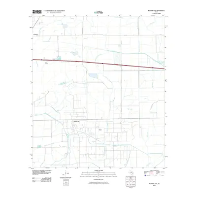 2010 Monroe City2010 Print · USGSMonroe City and Hankamer appear at a modern crossroads in Chambers County during the early twenty-first century. Researchers can trace the industrial footprint of the Anahuac Oil Field and locate family history at Broussard Cemetery or Whites Cemetery.
 - 2010 Map of League City, 2010 Print
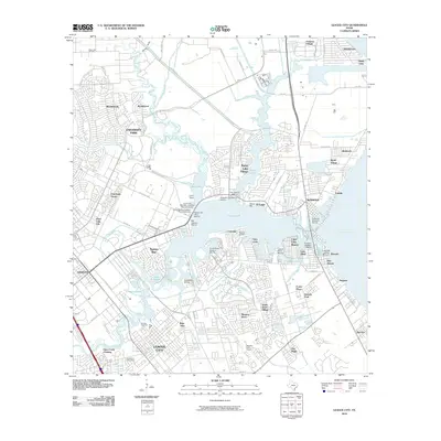 2010 League City2010 Print · USGSCoastal Harris and Galveston Counties are shown here during a period of significant maritime and residential growth. Genealogists and local historians can locate established landmarks like Fairview Cemetery, the Houston Gulf Airport, and the League City Post Office.
 - 2010 Map of Stowell, 2010 Print
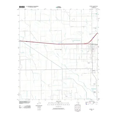 2010 Stowell2010 Print · USGSThe coastal prairies of Chambers County are seen here during a period of steady growth and industrial activity. Researchers can trace the extensive irrigation network of the Devers Main Canal and locate local landmarks like Fairview Cemetery and the Sea Breeze Oil Field.
 - 2010 Map of La Porte, 2010 Print
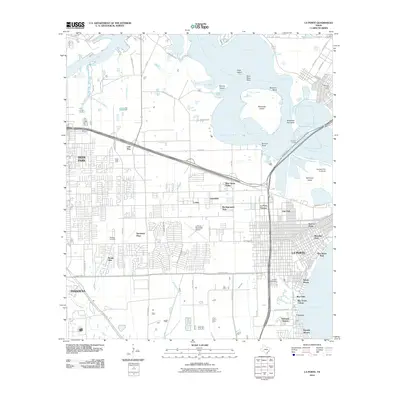 2010 La Porte2010 Print · USGSCoastal Harris County is shown at a time of significant industrial and residential density during the early twenty-first century. Researchers can trace neighborhood development in La Porte and Deer Park or locate family sites at Betheny Cemetery and Sylvan Beach.
 - 2010 Map of Cove, 2010 Print
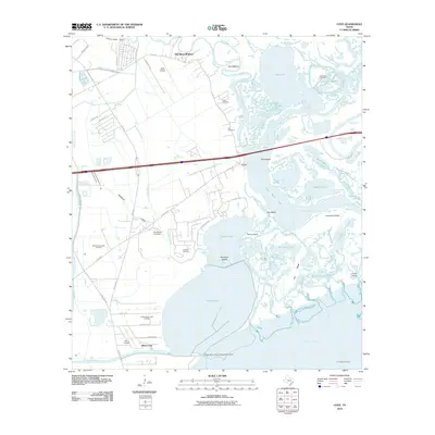 2010 Cove2010 Print · USGSCoastal Harris County settlements and energy fields meet at the edge of the bay in the years following the turn of the century. Genealogists can locate family burial grounds like Icet Cemetery and Winfree Cemetery while researchers trace the shoreline of Dutton Lake.
 - 2010 Map of Texas City, 2010 Print
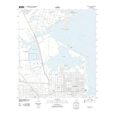 2010 Texas City2010 Print · USGSTexas City and the Galveston Bay shoreline are captured here during a period of modern coastal development and industrial activity. Researchers can trace local heritage through sites like Texas City Memorial Cemetery, the Davison Home, and the specialized B and S Ultralight Airport.
 - 2010 Map of Winnie NW, 2010 Print
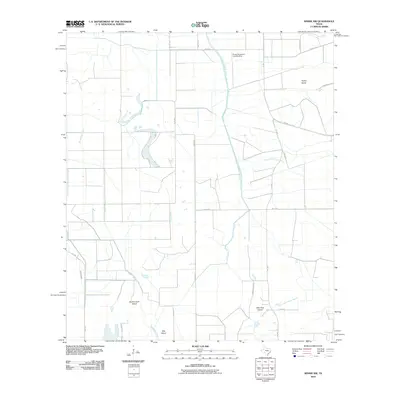 2010 Winnie NW2010 Print · USGSJefferson County’s coastal prairie and bayou country are captured here in the early twenty-first century, showcasing a landscape shaped by water and agriculture. Researchers can trace the paths of Spindletop Bayou and find local landmarks like Double Gum Island and the Sonny Broussard Landing Strip.
 - 2010 Map of Whites Bayou, 2010 Print
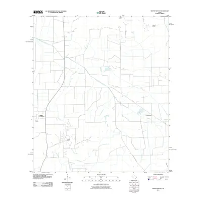 2010 Whites Bayou2010 Print · USGSLiberty County’s rural coastal plain is mapped here just after the millennium, showing a landscape defined by ranching and energy. Genealogists can locate Abshier Settlement and historic burial sites like Sahara Cemetery and Abshier Cemetery.
 - 2010 Map of Umbrella Point, 2010 Print
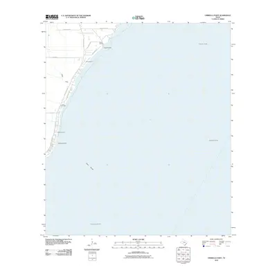 2010 Umbrella Point2010 Print · USGSThe Trinity Bay shoreline in 2010 reveals a unique landscape of coastal cemeteries and offshore energy production. Genealogists and historians can trace local family roots at Barrow Cemetery or locate landmarks like Umbrella Point and Optimist Camp.
 - 2010 Map of Shiloh, 2010 Print
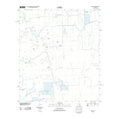 2010 Shiloh2010 Print · USGSCoastal Liberty County in the early 2000s is shown here as a landscape of irrigation canals, bayous, and scattered family cemeteries. Genealogists can locate numerous local burial sites including Lone Star Cemetery, Swinney Cemetery, and Worthy Cemetery.
 - 2010 Map of High Island, 2010 Print
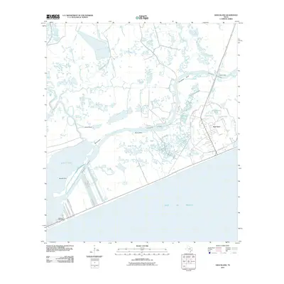 2010 High Island2010 Print · USGSThe Galveston County shoreline at the turn of the decade showcases a vital coastal landscape shaped by energy and maritime trade. Researchers can trace the infrastructure around High Island, from the dredging of the Intracoastal Waterway to local landmarks like Clark Lake and Gilchrist.
 - 2010 Map of Moss Bluff, 2010 Print
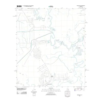 2010 Moss Bluff2010 Print · USGSLiberty County's river-bottom lands are shown here as a maze of oxbows and canals in the early twenty-first century. Researchers can trace family history at Reeves Cemetery or explore the shifting banks of the Trinity River near Moss Bluff and Old River-Winfree.
 - 2010 Map of Stanolind Reservoir, 2010 Print
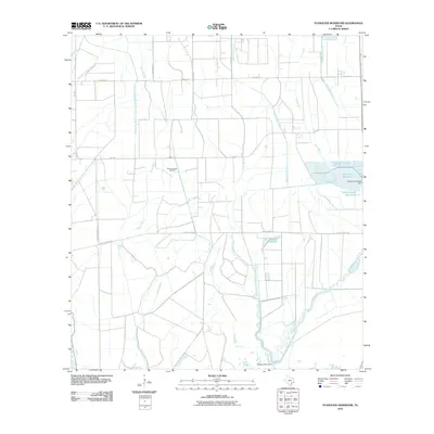 2010 Stanolind Reservoir2010 Print · USGSCoastal Chambers County is shown in the early twenty-first century as a landscape shaped by oil production and complex irrigation. Researchers can trace the water systems of the Devers Main Canal and the operations at the Willow Slough Oil Field.
 - 2010 Map of Sheeks, 2010 Print
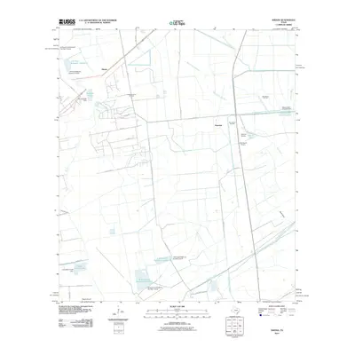 2010 Sheeks2010 Print · USGSLiberty County's coastal plains were a hub of oil production and water engineering in the early twenty-first century. Genealogists and historians can locate old family-named sites like Rogers Airport and industrial landmarks such as the Esperson Dome Oil Field and Lynchburg Canal.
 - 2010 Map of Morgans Point, 2010 Print
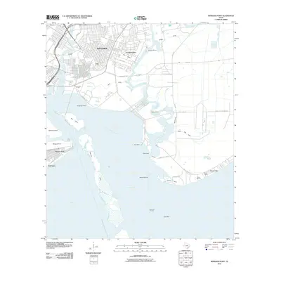 2010 Morgans Point2010 Print · USGSThe coastal industrial heart of the Texas Gulf Coast is on display here during the early twenty-first century. Researchers can trace the layout of Morgans Point, locate the Hill of Rest Cemetery, and see the extent of the Goose Creek Oil Field.
 - 2010 Map of Smith Point, 2010 Print
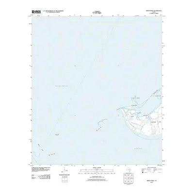 2010 Smith Point2010 Print · USGSThe coastal convergence of three major bays in southeast Texas is documented here in the early twenty-first century. Genealogists and local historians can trace family sites like Davis Cemetery or examine the maritime reach of the Smith Point Oil Field and Red Fish Bar.
Showing maps 1-25 of 108
Top cities of Chambers County
- Mont Belvieu historical maps
- Winnie historical maps
- Beach City historical maps
- Anahuac historical maps
- Old River-Winfree historical maps
- Cove historical maps
Frequently asked questions
- What are the different types of historical maps available for Chambers County?
- What is the oldest map of Chambers County?
- Where can I purchase historical maps of Chambers County for my home or office?
- Where can I download high-res historical maps of Chambers County?
- Are there historical topographic maps available for Chambers County?
- Is there historical aerial imagery available for Chambers County?
- Where are historical maps of Chambers County sourced from?