2000s (21st Century) Maps of Coke County, Texas
Explore 120 historic maps of Coke County from the 2000s (21st Century). These maps offer a rare glimpse into what life looked like during the 2000s — showing old roads, neighborhoods, homes, and landmarks that have changed or disappeared over time.
Whether you're researching your family's past, planning a metal detecting trip, or studying how Coke County's landscape evolved across the 2000s, these high-resolution maps are a powerful tool for exploring the history of this region.
- Focus on a specific era: All maps on this page are from the 2000s, giving you a focused view of this time period.
- See what’s changed: Compare century-old streets, trails, and buildings to today's modern landscape using overlays and satellite layers.
- Research with precision: Use these maps for genealogy, historical research, land use analysis, or educational projects.
- View, download, or print: Maps are fully viewable online in high resolution, and can be downloaded or printed for your own records.
Start exploring Coke County's history through authentic maps from the 2000s. This is your window into the past.
Coke County, TX maps
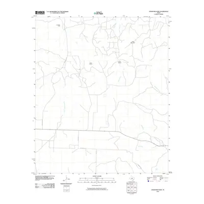
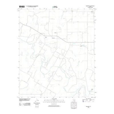
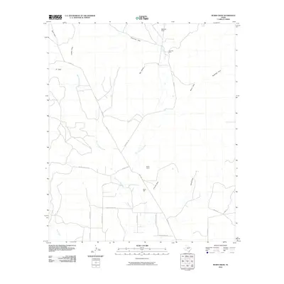
(120)- 2010 Map of Shawville, 2010 Print
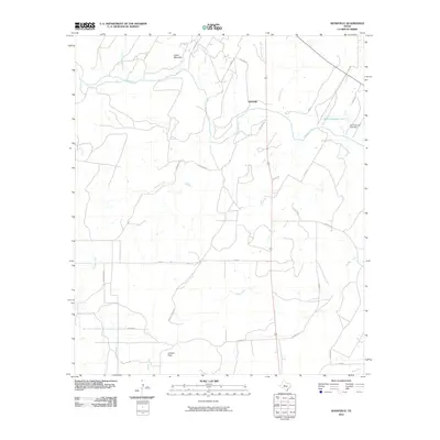 2010 Shawville2010 Print · USGSCovers Coke County, including Bronte, Shawville, and other nearby areas
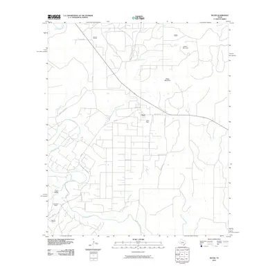
 - 2010 Map of Bronte, 2010 Print
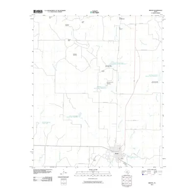 2010 Bronte2010 Print · USGSCovers Coke County, including Bronte, United States, and other nearby areas
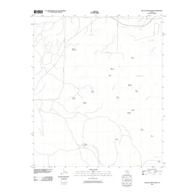
 - 2010 Map of Blackwell SW, 2010 Print
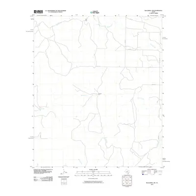 2010 Blackwell SW2010 Print · USGSCovers Coke County, including Nolan County, United States, and other nearby areas
 - 2010 Map of Cement Mountain, 2010 Print
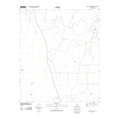 2010 Cement Mountain2010 Print · USGSCovers Coke County, including United States, Texas, and other nearby areas
 - 2010 Map of Divide, 2010 Print
 2010 Divide2010 Print · USGSCovers Coke County, including United States, Texas, and other nearby areas
 - 2010 Map of Hog Mountain, 2010 Print
 2010 Hog Mountain2010 Print · USGSCovers Coke County, including Marie, Runnels County, and other nearby areas
 - 2010 Map of Sanco, 2010 Print
 2010 Sanco2010 Print · USGSCovers Coke County, including Sanco, Nolan County, and other nearby areas
 - 2010 Map of Robert Lee, 2010 Print
 2010 Robert Lee2010 Print · USGSCovers Coke County, including Robert Lee, United States, and other nearby areas
 - 2010 Map of Crawford Slide, 2010 Print
 2010 Crawford Slide2010 Print · USGSCovers Coke County, including Sterling County, United States, and other nearby areas
 - 2010 Map of Millican Mountains, 2010 Print
 2010 Millican Mountains2010 Print · USGSCovers Coke County, including United States, Texas, and other nearby areas
 - 2010 Map of Pecan Mott, 2010 Print
 2010 Pecan Mott2010 Print · USGSCovers Coke County, including Pecan Mott, Tom Green County, and other nearby areas
 - 2010 Map of Green Mountain, 2010 Print
 2010 Green Mountain2010 Print · USGSCovers Coke County, including United States, Texas, and other nearby areas
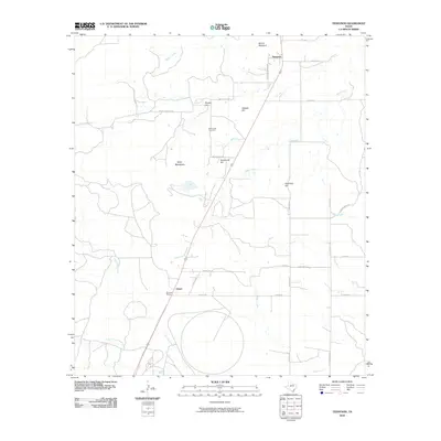
 - 2010 Map of Maverick, 2010 Print
 2010 Maverick2010 Print · USGSCovers Coke County, including Maverick, Norton, and other nearby areas
 - 2010 Map of Tennyson, 2010 Print
 2010 Tennyson2010 Print · USGSCovers Coke County, including Orient, Tennyson, and other nearby areas
 - 2010 Map of Water Valley, 2010 Print
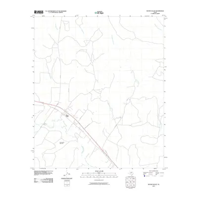 2010 Water Valley2010 Print · USGSCovers Coke County, including Water Valley, Tom Green County, and other nearby areas
 - 2010 Map of Church Peak, 2010 Print
 2010 Church Peak2010 Print · USGSCovers Coke County, including Taylor County, Nolan County, and other nearby areas
 - 2010 Map of Broome, 2010 Print
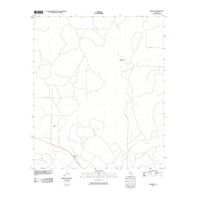 2010 Broome2010 Print · USGSCovers Coke County, including Broome, Sterling County, and other nearby areas
 - 2010 Map of Murph Draw, 2010 Print
 2010 Murph Draw2010 Print · USGSCovers Coke County, including Tom Green County, United States, and other nearby areas
 - 2010 Map of Silver, 2010 Print
 2010 Silver2010 Print · USGSCovers Coke County, including Silver, Nolan County, and other nearby areas
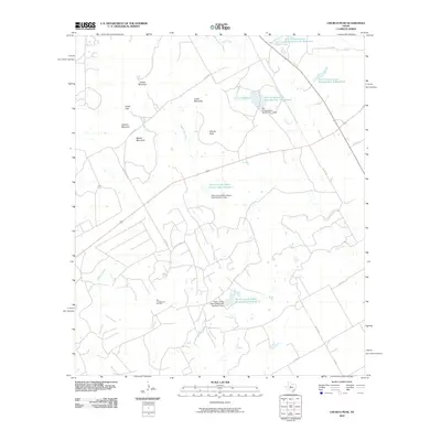
 - 2010 Map of Edith, 2010 Print
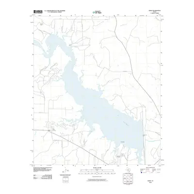 2010 Edith2010 Print · USGSCovers Coke County, including Lake E.V. Spence, Edith, and other nearby areas
 - 2010 Map of Dog Creek NE, 2010 Print
 2010 Dog Creek NE2010 Print · USGSCovers Coke County, including Tom Green County, Sterling County, and other nearby areas
 - 2010 Map of Miles NW, 2010 Print
 2010 Miles NW2010 Print · USGSCovers Coke County, including Tom Green County, Runnels County, and other nearby areas
 - 2010 Map of Dead Indian Mountain, 2010 Print
 2010 Dead Indian Mountain2010 Print · USGSCovers Coke County, including Sterling County, Mitchell County, and other nearby areas
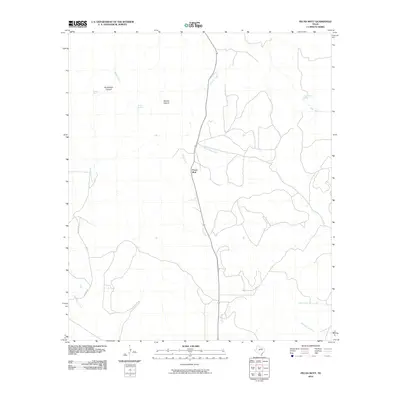
 - 2010 Map of Blackwell, 2010 Print
 2010 Blackwell2010 Print · USGSCovers Coke County, including Fort Chadbourne, Blackwell, and other nearby areas
 - 2012 Map of Dead Indian Mountain, 2012 Print
 2012 Dead Indian Mountain2012 Print · USGSCovers Coke County, including Sterling County, Mitchell County, and other nearby areas
Showing maps 1-25 of 120
Top cities of Coke County
Frequently asked questions
- What are the different types of historical maps available for Coke County?
- What is the oldest map of Coke County?
- Where can I purchase historical maps of Coke County for my home or office?
- Where can I download high-res historical maps of Coke County?
- Are there historical topographic maps available for Coke County?
- Is there historical aerial imagery available for Coke County?
- Where are historical maps of Coke County sourced from?