2010s Maps of Coke County, Texas
Explore 96 historic maps of Coke County from the 2010s. These maps offer a rare glimpse into what life looked like during the 2010s — showing old roads, neighborhoods, homes, and landmarks that have changed or disappeared over time.
Whether you're researching your family's past, planning a metal detecting trip, or studying how Coke County's landscape evolved across the 2010s, these high-resolution maps are a powerful tool for exploring the history of this region.
- Focus on a specific era: All maps on this page are from the 2010s, giving you a focused view of this time period.
- See what’s changed: Compare century-old streets, trails, and buildings to today's modern landscape using overlays and satellite layers.
- Research with precision: Use these maps for genealogy, historical research, land use analysis, or educational projects.
- View, download, or print: Maps are fully viewable online in high resolution, and can be downloaded or printed for your own records.
Start exploring Coke County's history through authentic maps from the 2010s. This is your window into the past.
Coke County, TX maps
(96)- 2010 Map of Shawville, 2010 Print
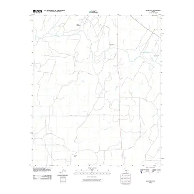 2010 Shawville2010 Print · USGSCoke County ranch lands are documented here during the early 2000s, centered on the Colorado River and the rural community of Shawville. Researchers can trace old family road names and terrain markers like Juniper Peak, Cedar Mountain, and the W D Coleman Lake reservoir.
 - 2010 Map of Bronte, 2010 Print
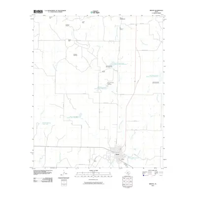 2010 Bronte2010 Print · USGSBronte and the surrounding Coke County ranchlands are captured here in the early twenty-first century as the landscape balances oil production with historic frontier roots. Researchers can trace family sites near Fort Chadbourne, find the Fairview Cemetery, or locate specific wells within the Rawlings Oil Field.
 - 2010 Map of Blackwell SW, 2010 Print
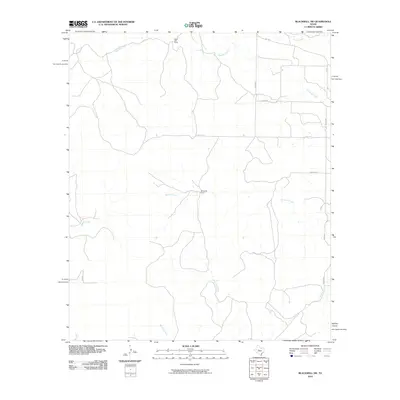 2010 Blackwell SW2010 Print · USGSNolan County ranching country is captured here during the first decade of the millennium, showing a landscape defined by traditional landholdings and seasonal creeks. Researchers can trace rural property access and water rights through features like White Hall Ranch, Whiteside Ranch, and Bouzier Creek.
 - 2010 Map of Cement Mountain, 2010 Print
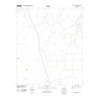 2010 Cement Mountain2010 Print · USGSCoke County, Texas, is captured here in the early 2000s, showing a rugged landscape defined by the Colorado River and the local energy industry. Researchers can locate the Wendland Oil Field or trace the drainage of Liveoak Creek and Buffalo Creek among peaks like Cement Mountain.
 - 2010 Map of Divide, 2010 Print
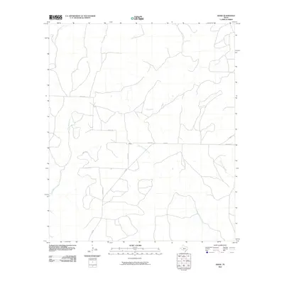 2010 Divide2010 Print · USGSCoke County is captured here in the early twenty-first century, showing the rural settlement patterns and drainage of the West Texas plains. Researchers can trace the paths of West Fork Grape Creek and locate landmarks along Cemetery Rd near Divide.
 - 2010 Map of Hog Mountain, 2010 Print
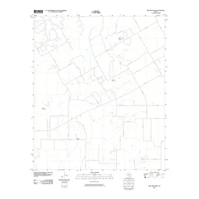 2010 Hog Mountain2010 Print · USGSRunnels County ranch lands are documented here in the early twenty-first century, centered on the rural community of Marie. Researchers can trace the drainage of Oak Creek and Hog Creek or locate landmarks like Hog Mountain and Dry Hollow.
 - 2010 Map of Sanco, 2010 Print
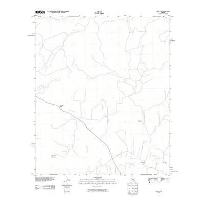 2010 Sanco2010 Print · USGSCoke County ranching country is captured here during the first decade of the new millennium. Genealogists and local historians can trace the rural roads and natural landmarks that define the area, from Durham Peak and Panther Gap to the remote settlement of Sanco.
 - 2010 Map of Robert Lee, 2010 Print
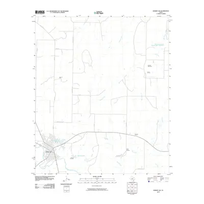 2010 Robert Lee2010 Print · USGSRobert Lee sits at the crossroads of the Colorado River and West Texas oil country in this early 21st-century survey. Genealogists and historians can trace the landscape from Hayrick Cemetery and Hayrick Mountain to the waters of Mountain Creek Reservoir.
 - 2010 Map of Crawford Slide, 2010 Print
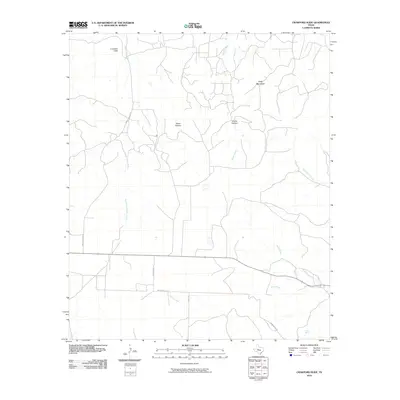 2010 Crawford Slide2010 Print · USGSSterling County ranch lands and canyon country are captured in detail as they appeared in the early 2010s. Researchers can trace the rugged geography of the plateau through landmarks like Crawford Slide, Goat Mountain, and Cosby Spring.
 - 2010 Map of Millican Mountains, 2010 Print
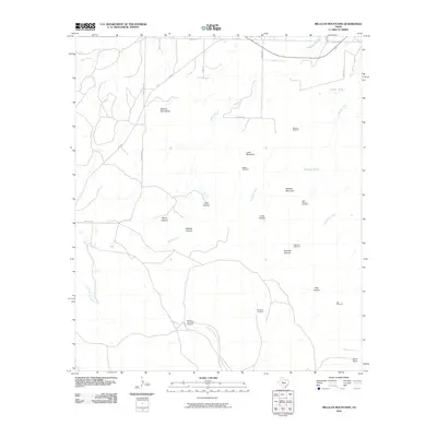 2010 Millican Mountains2010 Print · USGSCoke County ranch lands are detailed here during the early twenty-first century, showing a landscape shaped by water and high ground. Researchers can locate remote ranch features like Bull Pasture Windmill, Wildcat Mountain, and Stone Point.
 - 2010 Map of Pecan Mott, 2010 Print
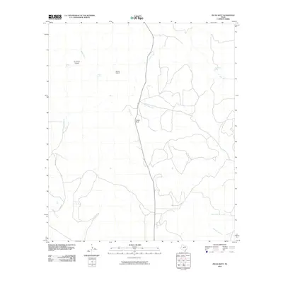 2010 Pecan Mott2010 Print · USGSCoke County, Texas, is shown in the early twenty-first century, revealing a landscape defined by its vital water sources and ranching routes. Researchers can trace the paths of Red Creek and Liveoak Creek or locate named sites like Pecan Mott and Buffalo Spring.
 - 2010 Map of Green Mountain, 2010 Print
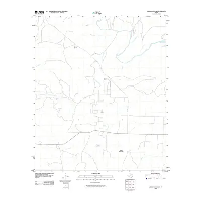 2010 Green Mountain2010 Print · USGSCoke County’s landscape is captured here in the early twenty-first century, showing a region where ranching and energy production meet. Researchers can trace the drainage of the Colorado River or locate petroleum sites like Lygay Oil Field and Millican Oil Field.
 - 2010 Map of Maverick, 2010 Print
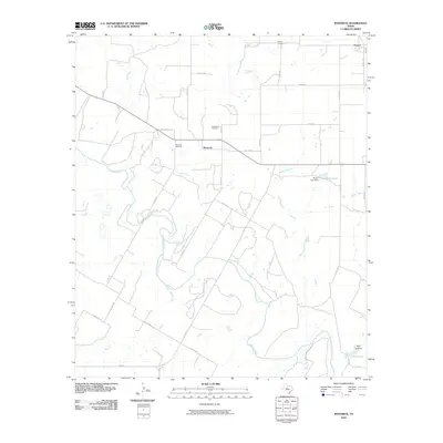 2010 Maverick2010 Print · USGSRunnels County at the turn of the 21st century reveals a landscape defined by the Colorado River and the rural communities of Maverick and Norton. Genealogists and local historians can trace family ties through Maverick Cemetery and Castleberry Cemetery or locate the Moore Lake Dam.
 - 2010 Map of Tennyson, 2010 Print
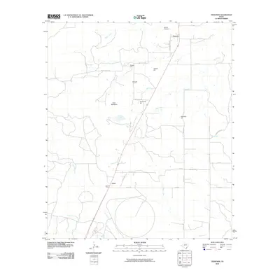 2010 Tennyson2010 Print · USGSThis corner of Tom Green County comes into focus as it appeared in the early 21st century, centered on the railroad corridor and small ranching communities. Researchers can trace local lineage at Mule Creek Cemetery and explore landmarks like Mount Margaret or Wooland Siding.
 - 2010 Map of Water Valley, 2010 Print
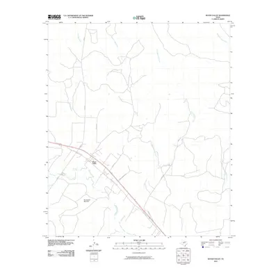 2010 Water Valley2010 Print · USGSWater Valley and the surrounding West Texas ranch lands appear in detail during the early twenty-first century. Researchers can trace the path of the North Concho River and locate local landmarks like McLaughlin Mountain and Ranger Spring.
 - 2010 Map of Church Peak, 2010 Print
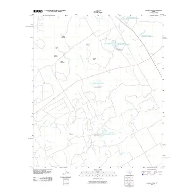 2010 Church Peak2010 Print · USGSTexas ranching and oil country come into focus during this 2010 survey of Taylor County. Researchers can trace the legacy of the Fort Chadbourne Oil Field and the complex water systems at Odom Currie Wylie Estate Lake Number 1.
 - 2010 Map of Broome, 2010 Print
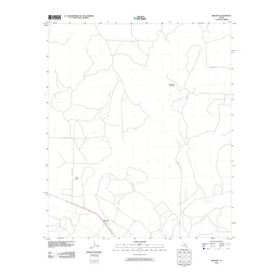 2010 Broome2010 Print · USGSSterling County rangeland comes into focus at the turn of the millennium, centered on the rural crossing at Broome. Researchers can trace old property access along Mendenhall Ln and identify landmarks like Shelving Rock Bluff and China Draw.
 - 2010 Map of Murph Draw, 2010 Print
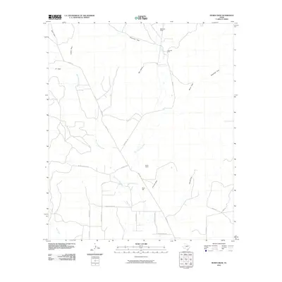 2010 Murph Draw2010 Print · USGSTom Green County ranch lands and drainage basins are captured here during a period of rural residential expansion in the early twenty-first century. Researchers can trace land divisions and local landmarks like Scrub Oak Ranch, Ruby Point, and Bean Hill.
 - 2010 Map of Silver, 2010 Print
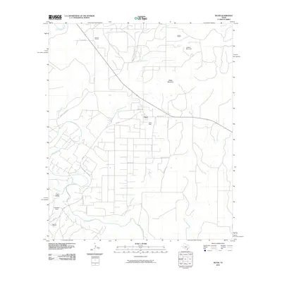 2010 Silver2010 Print · USGSIn the early twenty-first century, the West Texas settlement of Silver remains a hub for energy production and ranching. Genealogists and researchers can trace local landmarks like McKenzie Cemetery, the McCabe Oil Field, and the course of the Colorado River.
 - 2010 Map of Edith, 2010 Print
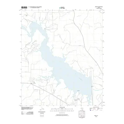 2010 Edith2010 Print · USGSLake E.V. Spence defines this West Texas landscape during the early twenty-first century as it sits along the Colorado River. Researchers can locate the Paint Creek Cemetery near Edith and trace the proximity of the I A B Oil Field.
 - 2010 Map of Dog Creek NE, 2010 Print
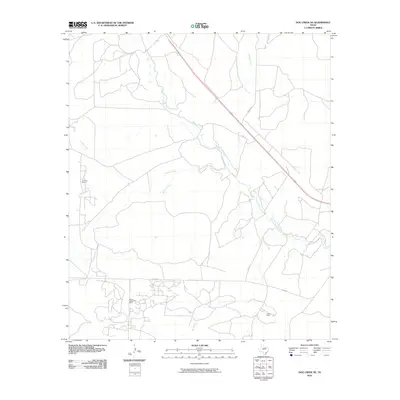 2010 Dog Creek NE2010 Print · USGSTom Green County during the early 2000s shows a landscape of river valleys and active energy production. Researchers can trace the footprints of the Water Valley Oil Field and Clark Oil Field along the North Concho River.
 - 2010 Map of Miles NW, 2010 Print
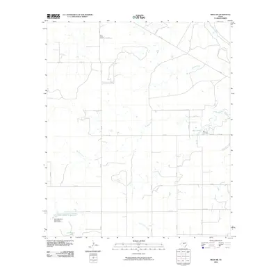 2010 Miles NW2010 Print · USGSNorthwest of Miles, Texas, in the early 2000s, this ranching landscape is defined by the winding tributaries of the Colorado River. Researchers can locate Mount Victory Cemetery and trace water management sites like Baca Lake and the Soil Conservation Service Site Number 1 Reservoir.
 - 2010 Map of Dead Indian Mountain, 2010 Print
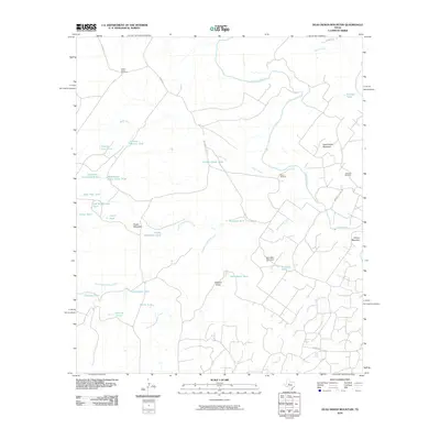 2010 Dead Indian Mountain2010 Print · USGSSterling and Mitchell Counties are mapped here in the early twenty-first century, showing a remote landscape of high mesas and cattle ranching. Researchers can trace land use through named features like Jameson Oil Field, Dead Indian Mountain, and the Lucky Strike Windmill.
 - 2010 Map of Blackwell, 2010 Print
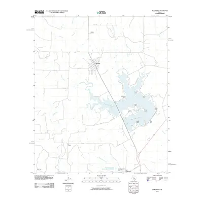 2010 Blackwell2010 Print · USGSThe ranching and water-management landscape of Coke County is captured here in the early twenty-first century. Researchers can trace local history through the Blackwell Cemetery, the historic area of Fort Chadbourne, and shoreline features like Pace Point.
 - 2012 Map of Dead Indian Mountain, 2012 Print
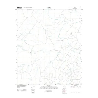 2012 Dead Indian Mountain2012 Print · USGSSterling County's ranching and oil landscape is captured here in the early twenty-first century. Researchers can trace land-use patterns through family-named landmarks like Harvey Martin Tank and Old McWhorter Tank or the local industry at Jameson Oil Field.
Showing maps 1-25 of 96
Top cities of Coke County
Frequently asked questions
- What are the different types of historical maps available for Coke County?
- What is the oldest map of Coke County?
- Where can I purchase historical maps of Coke County for my home or office?
- Where can I download high-res historical maps of Coke County?
- Are there historical topographic maps available for Coke County?
- Is there historical aerial imagery available for Coke County?
- Where are historical maps of Coke County sourced from?