Old Maps of Cleveland, Texas for Metal Detecting
Plan your next treasure hunt with 10 historic maps of Cleveland. Find old homesites, ghost towns, trails, and gathering spots that may be lost to time — perfect for identifying promising metal detecting locations.
- Locate forgotten sites: Uncover places like long-lost settlements, abandoned rail lines, or gathering spots.
- Plan better hunts: Use map overlays combined with LiDAR or satellite views to narrow in on historically rich areas.
- Made for detectorists: Thousands of hobbyists use these maps to discover relics, coins, and hidden history.
Use these historic maps to boost your research and find new opportunities beneath the surface of Cleveland.
Cleveland, TX maps
(10)- 1887 Map of Coleman, 1889 Print
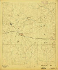 1887 Coleman1889 Print · USGSCentral Texas was undergoing a rapid transformation into a rail-connected ranching hub in the late 1880s. Local researchers can trace the early layout of Coleman and locate frontier landmarks like Camp Colorado, Byrds Store, and the Santa Anna Mountains.2 unique versions available
- 1889 Map of Coleman, 1905 Print
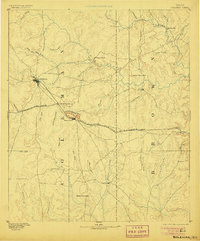 1889 Coleman1905 Print · USGSCentral Texas is captured in the late nineteenth century as the railroad began transforming the frontier into a network of cattle and farming towns. Genealogists can trace early homesteading hubs and remote outposts like Camp Colorado, Byrds Store, and Trickham.4 unique versions available
- 1954 Map of Brownwood, 1955 Print
 1954 Brownwood1955 Print · USGSCentral Texas in the early fifties shows a landscape of rail-linked cattle towns and winding river valleys before modern highway expansion. Genealogists and historians can trace family-named peaks and vanished rail stops like Trickham, Santa Anna, and the Brady Mountains.3 unique versions available
- 1962 Map of Santa Anna, 1964 Print
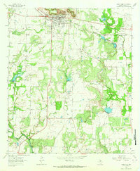 1962 Santa Anna1964 Print · USGSThe Santa Anna Mountains overlook a landscape defined by Texas petroleum production and ranching in the early sixties. Researchers can trace local landmarks like Cleveland Ch, the Gulf Colorado and Santa Fe railroad, and several named oil fields.2 unique versions available
- 1985 Map of Coleman
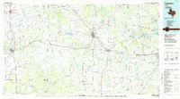 1985 Coleman1985 Print · USGSCentral Texas ranching and rail country comes to life in the 1980s as the Atchison Topeka and Santa Fe line cuts through Coleman. Researchers can trace old settlements and topography from Robinson Peak to the waters of Lake Brownwood State Park.2 unique versions available
- 2010 Map of Santa Anna, 2010 Print
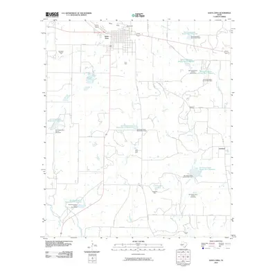 2010 Santa Anna2010 Print · USGSIn Coleman County during the early twenty-first century, the landscape around the Santa Anna Mountains reveals a complex system of water management and energy extraction. Researchers can trace the boundaries of the Santa Anna West Oil Field or locate rural communities like Cleveland and Santa Anna South.
- 2013 Map of Santa Anna, 2013 Print
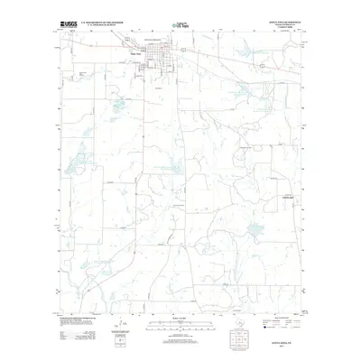 2013 Santa Anna2013 Print · USGSSanta Anna and its surrounding mountains are captured here in the early twenty-first century, showcasing a landscape defined by oil production and conservation reservoirs. You can trace the development of Santa Anna South and locate industry landmarks like the Gladys Bell Oil Field or the remote community of Cleveland.
- 2016 Map of Santa Anna, 2016 Print
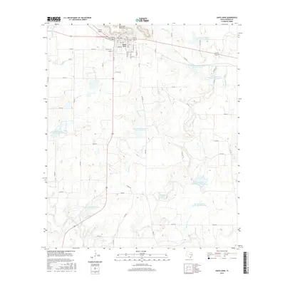 2016 Santa Anna2016 Print · USGSSanta Anna and the surrounding Coleman County ranch lands are documented here in the mid-2010s. Researchers can trace the local water infrastructure through C E Kingsbery Lake and various reservoirs like Soil Conservation Service Site 15 Reservoir.
- 2019 Map of Santa Anna, 2019 Print
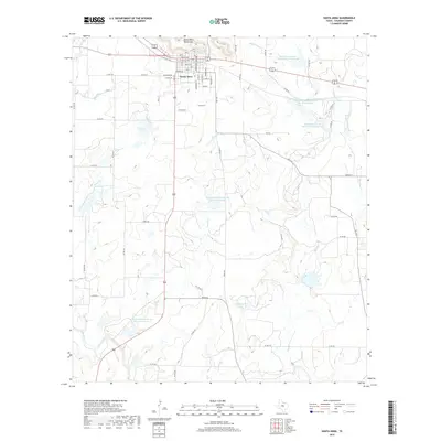 2019 Santa Anna2019 Print · USGSSanta Anna and its namesake mountains are captured here in Coleman County during the late twenty-teens. Researchers can trace the local street grid and find landmarks like C E Kingsbery Lake and the various reservoirs along Sweetie Cr.
- 2022 Map of Santa Anna, 2022 Print
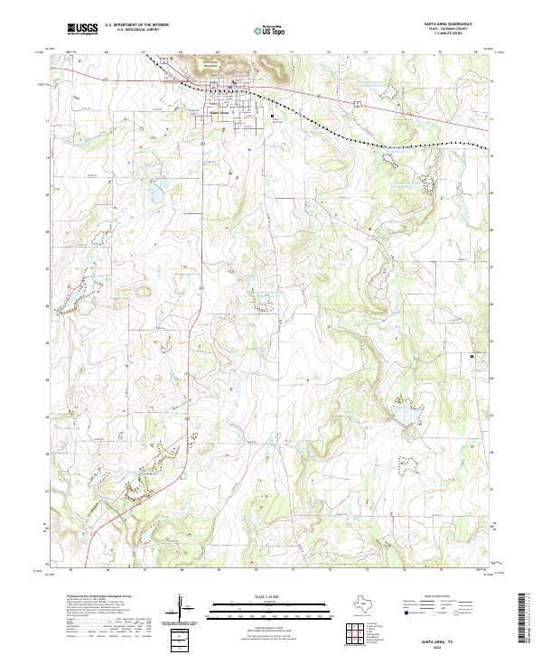 2022 Santa Anna2022 Print · USGSSanta Anna and its namesake mountains are captured here in the early 2020s, showing the intersection of ranching land and modern water management. Genealogists and local historians can locate the Santa Anna Cem, Cleveland Cem, and the reaches of Mukewater Cr.
End of results
Showing maps 1-10 of 10
Top cities near Cleveland
Frequently asked questions
- What are the different types of historical maps available for Cleveland?
- What is the oldest map of Cleveland?
- Where can I purchase historical maps of Cleveland for my home or office?
- Where can I download high-res historical maps of Cleveland?
- Are there historical topographic maps available for Cleveland?
- Is there historical aerial imagery available for Cleveland?
- Where are historical maps of Cleveland sourced from?