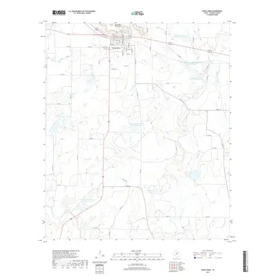
2019 Map of Santa Anna
USGS Topo · Published 2019About this map
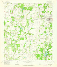
The Santa Anna Mountains dominate the northern horizon of this Coleman County landscape, rising sharply above the town of Santa Anna. The community is organized along a traditional grid of streets including Wallis Ave, Bowie Ave, and Jefferson St, serving as a regional hub for the surrounding ranching and agricultural lands. This late-decade survey highlights a sophisticated water management system defined by numerous catchments, such as the Soil Conservation Service Site 14 Reservoir and Soil Conservation Service Site 15 Reservoir. These man-made features interact with the natural drainage of Sweetie Cr, Horse Cr, and Mukewater Cr. Further south, the map identifies C E Kingsbery Lake, illustrating the continued importance of water conservation and land use in this part of Central Texas.
Find a feature on this map
39 named features on this map. Tap any name to fly to it.
Don’t see what you’re looking for? This feature index may not catch every label — zoom into the map to look around manually.
Map Details
Editions of this 2019 Santa Anna Map
This is the sole edition of this map. No revisions or reprints were ever made.
Other maps of this area

1887 · Coleman
USGS Topo · 1:125,000

1889 · Coleman
USGS Topo · 1:125,000

1924 · Brownwood Reservoir Site
USGS Topo · 1:48,000

1927 · Grosvenor
USGS Topo · 1:62,500

1954 · Brownwood
USGS Topo · 1:250,000
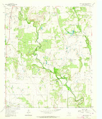
1962 · Speck Mountain
USGS Topo · 1:24,000
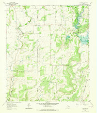
1962 · Trickham
USGS Topo · 1:24,000
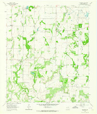
1962 · Gouldbusk
USGS Topo · 1:24,000

1962 · Santa Anna
USGS Topo · 1:24,000
1962 · Bangs West
USGS Topo · 1:24,000