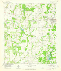
1962 Map of Bangs West
USGS Topo · Published 1964About this map
Bangs serves as the primary hub of this landscape, situated along the Gulf Colorado and Santa Fe railroad in Brown County. The map documents a rural transition where agricultural land meets infrastructure like the prominent Pipeline and scattered Gravel Pits that suggest local industry. Small settlements and points of historical interest, such as Liberty, Obregon, and Concord, are dispersed across the terrain, reflecting the mid-century settlement patterns of the Texas heartland.
Find a feature on this map
18 named features on this map. Tap any name to fly to it.
Don’t see what you’re looking for? This feature index may not catch every label — zoom into the map to look around manually.
Map Details
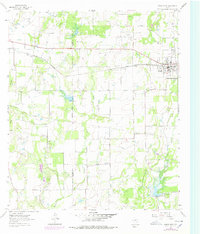
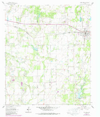
Editions of this 1962 Bangs West Map
3 editions found
Other maps of this area

1887 · Coleman
USGS Topo · 1:125,000

1889 · Coleman
USGS Topo · 1:125,000

1924 · Brownwood Reservoir Site
USGS Topo · 1:48,000

1927 · Grosvenor
USGS Topo · 1:62,500

1954 · Brownwood
USGS Topo · 1:250,000
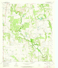
1962 · Speck Mountain
USGS Topo · 1:24,000
1962 · Trickham
USGS Topo · 1:24,000
1962 · Bangs East
USGS Topo · 1:24,000

1962 · Santa Anna
USGS Topo · 1:24,000
1963 · Brooksmith
USGS Topo · 1:24,000