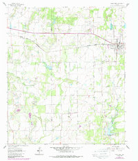
1962 Map of Bangs West
USGS Topo · Published 1988About this map
The town of Bangs serves as the primary hub of this Central Texas landscape, situated along the Atchison Topeka and Santa Fe railroad line. The map captures a period of transition where the established agricultural landscape is punctuated by an expanding Gas Field and numerous Gravel Pits, indicating the region's mid-century shift toward resource extraction. The area's hydrology is dominated by the wandering path of Mukewater Creek and its various tributaries, including the East Fork and West Fork, which define the drainage patterns south of Cedar Ridge.
Find a feature on this map
23 named features on this map. Tap any name to fly to it.
Don’t see what you’re looking for? This feature index may not catch every label — zoom into the map to look around manually.
Map Details
Editions of this 1962 Bangs West Map
3 editions found
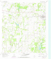
Other maps of this area

1887 · Coleman
USGS Topo · 1:125,000

1889 · Coleman
USGS Topo · 1:125,000

1924 · Brownwood Reservoir Site
USGS Topo · 1:48,000

1927 · Grosvenor
USGS Topo · 1:62,500

1954 · Brownwood
USGS Topo · 1:250,000
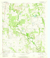
1962 · Speck Mountain
USGS Topo · 1:24,000
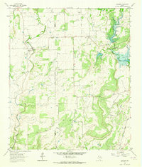
1962 · Trickham
USGS Topo · 1:24,000
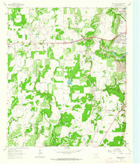
1962 · Bangs East
USGS Topo · 1:24,000

1962 · Santa Anna
USGS Topo · 1:24,000
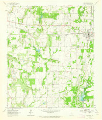
1962 · Bangs West
USGS Topo · 1:24,000