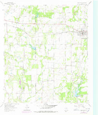
1962 Map of Bangs West
USGS Topo · Published 1978About this map
The Gulf Colorado and Santa Fe railroad bisects this landscape, anchoring the development of Bangs and smaller outposts like Liberty and Obregon. This 1962 survey, with revisions into the late 1970s, captures the rural character of the Coleman Co Brown Co line as the region balanced agriculture with an expanding energy infrastructure. The drainage of Mukewater Creek and its East Fork and West Fork tributaries define the local topography, while numerous labels for Oil Field and Gas Field activity indicate the industrial drivers of the era.
Find a feature on this map
22 named features on this map. Tap any name to fly to it.
Don’t see what you’re looking for? This feature index may not catch every label — zoom into the map to look around manually.
Map Details
Editions of this 1962 Bangs West Map
3 editions found
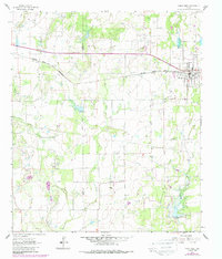
Other maps of this area

1887 · Coleman
USGS Topo · 1:125,000

1889 · Coleman
USGS Topo · 1:125,000

1924 · Brownwood Reservoir Site
USGS Topo · 1:48,000

1927 · Grosvenor
USGS Topo · 1:62,500

1954 · Brownwood
USGS Topo · 1:250,000
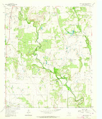
1962 · Speck Mountain
USGS Topo · 1:24,000
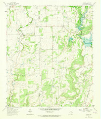
1962 · Trickham
USGS Topo · 1:24,000
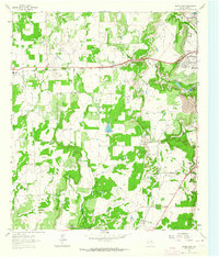
1962 · Bangs East
USGS Topo · 1:24,000

1962 · Santa Anna
USGS Topo · 1:24,000
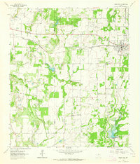
1962 · Bangs West
USGS Topo · 1:24,000