
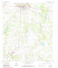
1962 Map of Santa Anna
USGS Topo · Published 1964About this map
The Santa Anna Mountains dominate the landscape of Coleman County in the early 1960s, providing a distinctive backdrop for the town of Santa Anna. This survey documents a community tied to both the land and the subsurface, where the Gulf Colorado and Santa Fe railroad skirts the southern edge of the mountains, connecting the local economy to broader markets. The town's infrastructure is clearly delineated, featuring a High Sch, an Athletic Field, and several residential blocks north of the rail line.
Find a feature on this map
30 named features on this map. Tap any name to fly to it.
Don’t see what you’re looking for? This feature index may not catch every label — zoom into the map to look around manually.
Map Details
Editions of this 1962 Santa Anna Map
2 editions found
Other maps of this area

1887 · Coleman
USGS Topo · 1:125,000

1889 · Coleman
USGS Topo · 1:125,000

1924 · Brownwood Reservoir Site
USGS Topo · 1:48,000

1927 · Grosvenor
USGS Topo · 1:62,500

1954 · Brownwood
USGS Topo · 1:250,000
1962 · Speck Mountain
USGS Topo · 1:24,000
1962 · Trickham
USGS Topo · 1:24,000
1962 · Gouldbusk
USGS Topo · 1:24,000
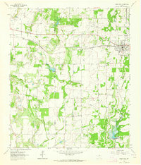
1962 · Bangs West
USGS Topo · 1:24,000
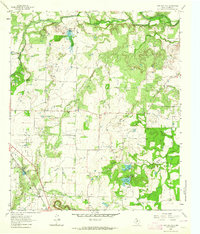
1963 · Lake San Tana
USGS Topo · 1:24,000