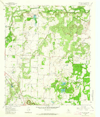
1963 Map of Lake San Tana
USGS Topo · Published 1964About this map
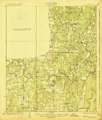
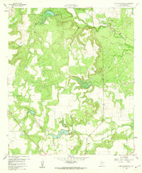
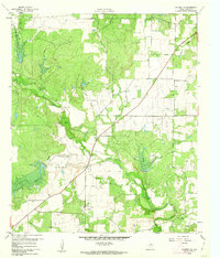
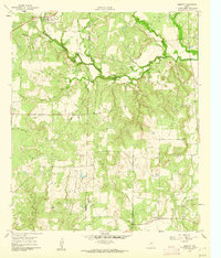
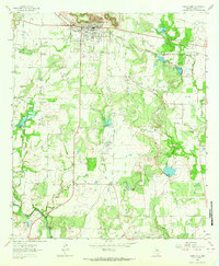
Santa Anna Mountains dominate the southern portion of this mid-century survey of Coleman County, Texas. This landscape is defined by its transition from high ridges to the creek valleys of Hords Creek and Jim Ned Creek, where the mid-1960s terrain is heavily marked by the region's energy and water infrastructure. The presence of the Hagler Oil Field and the Coleman Junction North Oil Field indicates the importance of petroleum extraction during this era, while Lake San Tana and Lake Sealy suggest man-made water management in an area cut by numerous seasonal streams like Mud Creek and the Santa Anna Branch. Transportation routes are anchored by the Gulf Colorado and Santa Fe railroad, which converges at San Angelo Junction, a critical point for rail historians and genealogists tracing early regional movement.
Find a feature on this map
24 named features on this map. Tap any name to fly to it.
Don’t see what you’re looking for? This feature index may not catch every label — zoom into the map to look around manually.
Map Details
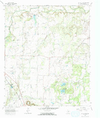
Editions of this 1963 Lake San Tana Map
2 editions found
Other maps of this area
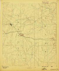
1887 · Coleman
USGS Topo · 1:125,000
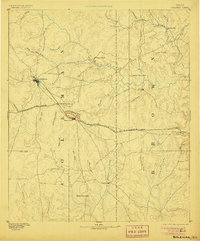
1889 · Coleman
USGS Topo · 1:125,000

1924 · Brownwood Reservoir Site
USGS Topo · 1:48,000
1927 · Grosvenor
USGS Topo · 1:62,500

1954 · Brownwood
USGS Topo · 1:250,000
1960 · Lake Scarborough
USGS Topo · 1:24,000
1960 · Coleman NE
USGS Topo · 1:24,000
1960 · Burkett
USGS Topo · 1:24,000
1962 · Santa Anna
USGS Topo · 1:24,000
1962 · Bangs West
USGS Topo · 1:24,000