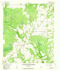
1960 Map of Coleman NE
USGS Topo · Published 1962About this map
Amzak Morris Oil Field and the Echo Oil Field dominate the northern and central landscape of this Coleman County region, reflecting the significant petroleum activity of the mid-twentieth century. The small settlement of Echo sits near the intersection of several local roads and State Route 206, serving as a focal point for the surrounding oil and ranching activities. Natural drainage is defined by the winding course of Jim Ned Creek, which is fed by various tributaries including Betty Logan Creek, Hay Creek, and Deadman Branch.
Find a feature on this map
20 named features on this map. Tap any name to fly to it.
Don’t see what you’re looking for? This feature index may not catch every label — zoom into the map to look around manually.
Map Details
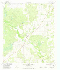
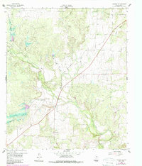
Editions of this 1960 Coleman NE Map
3 editions found
Other maps of this area

1887 · Coleman
USGS Topo · 1:125,000

1889 · Coleman
USGS Topo · 1:125,000

1924 · Brownwood Reservoir Site
USGS Topo · 1:48,000

1927 · Grosvenor
USGS Topo · 1:62,500

1931 · Baird
USGS Topo · 1:125,000

1932 · Baird
USGS Topo · 1:125,000

1954 · Brownwood
USGS Topo · 1:250,000

1954 · Abilene
USGS Topo · 1:250,000

1958 · Abilene
USGS Topo · 1:250,000

1960 · Lake Scarborough
USGS Topo · 1:24,000