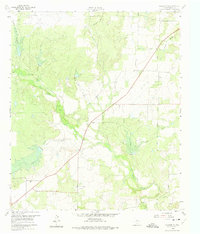
1960 Map of Coleman NE
USGS Topo · Published 1975About this map
The settlement of Echo and its surrounding petroleum landscape dominate this 1960 field-checked survey of central Texas. The terrain is defined by the convergence of several waterways, including Jim Ned Creek, Indian Creek, and Betty Logan Creek, where the land is marked for controlled inundation. Local industry is clearly mapped through the Amzak Morris Oil Field, the Eastland Morris Oil Field, and the Echo Oil Field, illustrating the scale of resource extraction in the region during the mid-century. Cultural landmarks of particular interest to genealogists include the Walker Cem and a second Cem located near the southeast corner. The presence of the Camp Colorado (Historical Site) provides a specific point of reference for nineteenth-century Texas frontier history, while the triangulation station VABM Echo 1692 serves as a prominent surveying landmark for the area.
Find a feature on this map
18 named features on this map. Tap any name to fly to it.
Don’t see what you’re looking for? This feature index may not catch every label — zoom into the map to look around manually.
Map Details
Editions of this 1960 Coleman NE Map
3 editions found
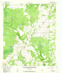
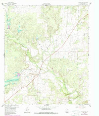
Other maps of this area

1887 · Coleman
USGS Topo · 1:125,000

1889 · Coleman
USGS Topo · 1:125,000

1924 · Brownwood Reservoir Site
USGS Topo · 1:48,000

1927 · Grosvenor
USGS Topo · 1:62,500

1931 · Baird
USGS Topo · 1:125,000

1932 · Baird
USGS Topo · 1:125,000

1954 · Brownwood
USGS Topo · 1:250,000

1954 · Abilene
USGS Topo · 1:250,000

1958 · Abilene
USGS Topo · 1:250,000

1960 · Lake Scarborough
USGS Topo · 1:24,000