1970s Maps of Concho County, Texas
Explore 9 historic maps of Concho County from the 1970s. These maps offer a rare glimpse into what life looked like during the 1970s — showing old roads, neighborhoods, homes, and landmarks that have changed or disappeared over time.
Whether you're researching your family's past, planning a metal detecting trip, or studying how Concho County's landscape evolved across the 1970s, these high-resolution maps are a powerful tool for exploring the history of this region.
- Focus on a specific era: All maps on this page are from the 1970s, giving you a focused view of this time period.
- See what’s changed: Compare century-old streets, trails, and buildings to today's modern landscape using overlays and satellite layers.
- Research with precision: Use these maps for genealogy, historical research, land use analysis, or educational projects.
- View, download, or print: Maps are fully viewable online in high resolution, and can be downloaded or printed for your own records.
Start exploring Concho County's history through authentic maps from the 1970s. This is your window into the past.
Concho County, TX maps
(9)- 1970 Map of Live Oak, 1973 Print
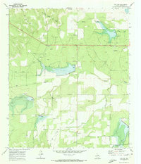 1970 Live Oak1973 Print · USGSTexas ranching country in Concho County is captured here just as the local energy economy and water management systems were maturing. Genealogists and researchers can trace family landmarks like the Wood Ranch Landing Field, Live Oak Cem, and the settlement at Live Oak.2 unique versions available
 - 1970 Map of Callan, 1973 Print
 1970 Callan1973 Print · USGSTexas ranch country on the Menard and Concho county line appears here in the early seventies, centered on the railroad siding at Callan. Genealogists and historians can trace the Atchison Topeka and Santa Fe line, Loveless Cem, and a private Landing Strip.2 unique versions available
 - 1970 Map of Needle Creek, 1973 Print
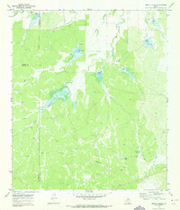 1970 Needle Creek1973 Print · USGSThe rolling ranchlands where McCulloch, Concho, and Menard counties meet are captured here in the early 1970s. Researchers can trace land use through landmarks like the Ford Ranch, the AT&SF rail line, and family-named water sources like Bee Gum Tank.2 unique versions available
 - 1970 Map of Burr Oak Creek, 1973 Print
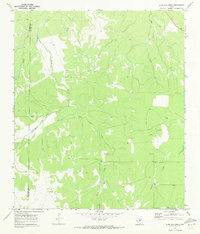 1970 Burr Oak Creek1973 Print · USGSThe Concho and Tom Green County borderlands are captured here in the early seventies, showing a landscape of sprawling ranchland and energy exploration. Local historians can trace family-held lands like Slator Ranch or locate old Oil Wells and seasonal water sources like Frog Pond.2 unique versions available
 - 1970 Map of Eden, 1973 Print
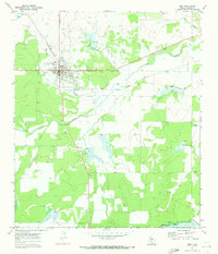 1970 Eden1973 Print · USGSThe Concho County seat of Eden is shown in the early seventies at a crossroads of rail and road. Trace the Atchison Topeka and Santa Fe line or locate family plots at Eden Cemetery and landmarks like Pfluger Park.
 - 1970 Map of Eden SW, 1973 Print
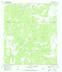 1970 Eden SW1973 Print · USGSThe Concho and Menard county line comes alive in the early seventies, showcasing a landscape of ranching and resource extraction. Genealogists and historians can trace the paths of Live Oak Creek, locate the prominent Negro Gap, and study the early footprint of the local Oil Field.2 unique versions available
 - 1970 Map of Del Venado Ranch, 1973 Print
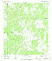 1970 Del Venado Ranch1973 Print · USGSThe rural borders of Menard and Concho counties are captured here in the early seventies during a period of oil field development. Researchers can trace the footprint of the AND FIELD OIL district, Del Venado Ranch, and several Landing Strips.
 - 1970 Map of Pasche, 1973 Print
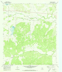 1970 Pasche1973 Print · USGSConcho County rangeland and the southern Brady Mountains are mapped here in the early seventies as a key railroad and transit corridor. Genealogists can locate Sudduth Cem while historians trace the Atchison Topeka and Santa Fe line through Pasche.2 unique versions available
 - 1970 Map of Eden SE, 1973 Print
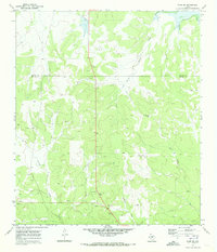 1970 Eden SE1973 Print · USGSSpanning the Concho and Menard county line in the early seventies, this map captures the remote ranching landscape of West Texas. Genealogists and historians can trace family land at the Whitehead Ranch or locate the Plum Thicket Windmill and Volkmann Draw.2 unique versions available
End of results
Showing maps 1-9 of 9
Top cities of Concho County
Frequently asked questions
- What are the different types of historical maps available for Concho County?
- What is the oldest map of Concho County?
- Where can I purchase historical maps of Concho County for my home or office?
- Where can I download high-res historical maps of Concho County?
- Are there historical topographic maps available for Concho County?
- Is there historical aerial imagery available for Concho County?
- Where are historical maps of Concho County sourced from?