Old Maps of Whitson, Texas for Academic Research
Study the evolution of Whitson with 12 high-resolution historic maps. Whether you're teaching, researching, or modeling changes in land use, these maps provide essential visual documentation of urban, environmental, and geographic change.
- Analyze long-term change: Track patterns in development, transportation, and natural features.
- Ideal for environmental or urban studies: Support academic projects with primary historical map data.
- Use in the classroom or lab: Educators and researchers rely on these maps to bring historical context to life.
These maps are a powerful tool for teaching, research, and visualizing how Whitson has changed over the decades.
Whitson, TX maps
(12)- 1892 Map of Temple
 1892 Temple1892 Print · USGSTexas at the turn of the century shows a landscape defined by emerging railroad junctions and river settlements. Genealogists can trace early homesteads and rail-town growth in Temple, McGregor, and Belton near the banks of the Leon River.6 unique versions available
 - 1924 Map of Temple 2-C
 1924 Temple 2-C1924 Print · USGSCentral Texas farming communities and river crossings are captured here in the mid-1920s across the Bell, Coryell, and McLennan county lines. Genealogists can trace family footprints at Haunted Hill School, Whitson, and the German Lutheran Church.
 - 1931 Map of Mc Gregor
 1931 Mc Gregor1931 Print · USGSCentral Texas rural life in the twenties is preserved here, showing a landscape densely dotted with family-named schools and country churches. Genealogists can trace ancestors through specific landmarks like Haunted Hill Sch, Blair Chapel, and the community at Eagle Springs.2 unique versions available
 - 1954 Map of Waco, 1964 Print
 1954 Waco1964 Print · USGSCentral Texas during the mid-fifties shows a landscape defined by the expansion of Fort Hood Military Reservation and the Brazos river system. Trace the rail lines and early airfields like James Connally Air Force Base and settlements like Temple or McGregor.2 unique versions available
 - 1955 Map of Waco
 1955 Waco1955 Print · USGSCentral Texas at the peak of the Cold War reveals a landscape defined by military expansion and major water projects. Researchers can trace the footprints of Fort Hood, the waters of Lake Waco, and regional hubs like Temple or Mexia.
 - 1965 Map of Eagle Springs, 1968 Print
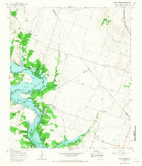 1965 Eagle Springs1968 Print · USGSThe Leon River valley and the expanding Belton Reservoir define this mid-sixties survey of the Texas interior. Local researchers can locate rural landmarks like Stockton Chapel, the Atchison Topeka and Santa Fe rail line, and family cemeteries including Alexander Cemetery.2 unique versions available
 - 1985 Map of Temple
 1985 Temple1985 Print · USGSCentral Texas in the mid-eighties shows a landscape of massive defense installations and deep-rooted farming communities. Genealogists and historians can trace the development of Temple and Gatesville, locate the Gatesville State School for Boys, or explore rural outposts like Zabcikville and Westphalia.2 unique versions available
 - 2010 Map of Eagle Springs, 2010 Print
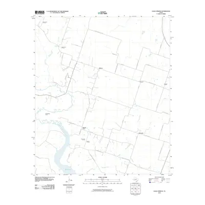 2010 Eagle Springs2010 Print · USGSThe Leon River valley near Whitson and Eagle Springs is shown here just over a decade ago. Genealogists can locate numerous local landmarks like Moody-Leon Cemetery, Alexander Cemetery, and the community of Stampede.
 - 2012 Map of Eagle Springs, 2012 Print
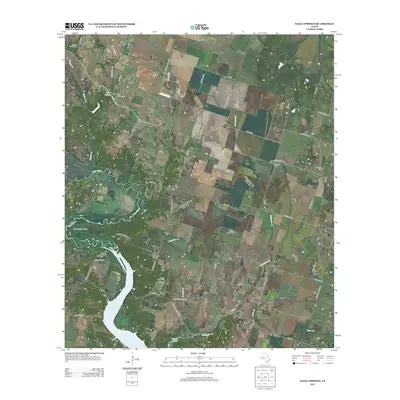 2012 Eagle Springs2012 Print · USGSCentral Texas farming communities and the winding Leon River define this area in the early twenty-first century. Researchers can trace family sites at Buckhorn Cem and Mt Zion Cem or explore the river landscape near Horseshoe Bend.
 - 2016 Map of Eagle Springs, 2016 Print
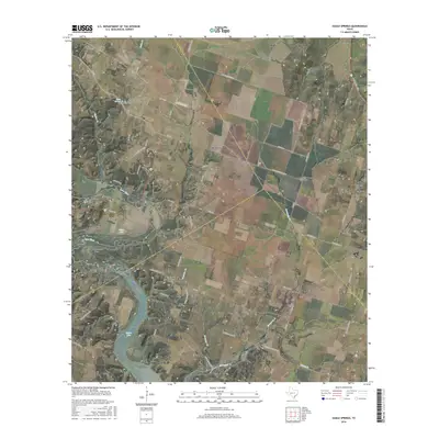 2016 Eagle Springs2016 Print · USGSThe rural borders of Coryell, Bell, and McLennan counties come together in this recent look at the Leon River valley. Researchers can find numerous family-named landmarks and historical burial sites including Alexander Cem, Moody-Leon Cem, and the settlement of Whitson.
 - 2019 Map of Eagle Springs, 2019 Print
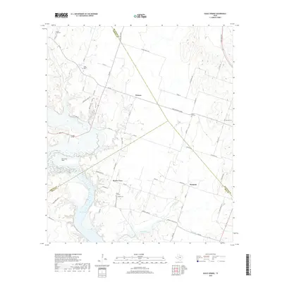 2019 Eagle Springs2019 Print · USGSThe rural crossroads of central Texas are preserved here as they appeared in 2019, documenting the borderlands of Coryell and Bell counties. Genealogists and local historians can trace family ties at Eagle Springs Cem, Moody-Leon Cem, and the settlement at Whitson.
 - 2022 Map of Eagle Springs, 2022 Print
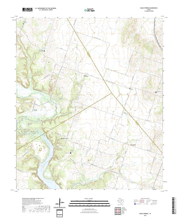 2022 Eagle Springs2022 Print · USGSThe Leon River valley south of Mother Neff State Park is captured here at a time when small agricultural communities and historic cemeteries still define the landscape. Genealogists can trace family sites at Eagle Springs Cem, Mount Zion Cem, and the settlement at Whitson.
End of results
Showing maps 1-12 of 12
Top cities near Whitson
- Killeen historical maps
- Waco historical maps
- Temple historical maps
- Belton historical maps
- Hewitt historical maps
- Woodway historical maps
See more
Frequently asked questions
- What are the different types of historical maps available for Whitson?
- What is the oldest map of Whitson?
- Where can I purchase historical maps of Whitson for my home or office?
- Where can I download high-res historical maps of Whitson?
- Are there historical topographic maps available for Whitson?
- Is there historical aerial imagery available for Whitson?
- Where are historical maps of Whitson sourced from?