Old Maps of Ogden, Texas for Hiking & Exploration
Hike through history with 9 historic maps of Ogden. Explore old trails, ghost towns, and forgotten backroads — perfect for outdoor adventurers and local explorers.
- Rediscover forgotten places: Map out old mining camps, roads, and footpaths that no longer exist on modern maps.
- Layer with modern tools: Combine with LiDAR or satellite views to plan hikes through historical terrain.
- Made for exploration: Popular among hikers, overlanders, and local history lovers.
Use these maps to find adventure and explore the hidden past of Ogden.
Ogden, TX maps
(9)- 1954 Map of Plainview, 1966 Print
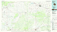
 1954 Plainview1966 Print · USGSThe Texas Panhandle and the rugged Caprock Escarpment appear in detail as the region's agricultural and rail networks reached their mid-century peak. Trace family roots and old land patterns through the canyons and plains near Plainview, Palo Duro State Park, and Childress.3 unique versions available
 - 1958 Map of Plainview
 1958 Plainview1958 Print · USGSThe High Plains and Caprock Escarpment meet in the late fifties, showcasing the ranching and rail networks of the Texas Panhandle. Trace family roots and vanished stops along the Panhandle and Santa Fe railroad through Plainview, Silverton, and Matador.
 - 1967 Map of Triangle Ranch, 1969 Print
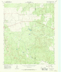 1967 Triangle Ranch1969 Print · USGSCottle County ranching country is captured here in the late sixties, showing the vast livestock operations that define this Texas region. Researchers can locate the Ogden (Site), trace family landmarks like Marys Peak, and find remote outposts like Polk Hole Windmill.2 unique versions available
 - 1986 Map of Childress
 1986 Childress1986 Print · USGSTexas ranching and conservation lands come to life in this mid-eighties survey of the Pease River country. Genealogists and historians can trace family roots through Matador, find the Matador Cem, or locate the Burlington Northern line through Childress.2 unique versions available
 - 2010 Map of Triangle Ranch, 2010 Print
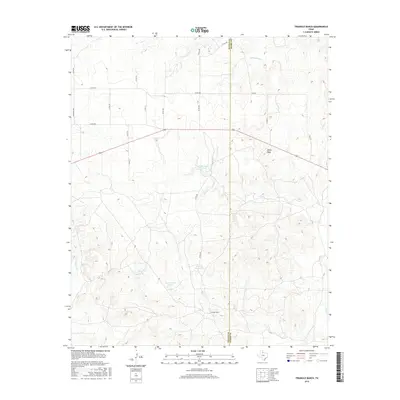
 2010 Triangle Ranch2010 Print · USGSCovers Ogden, including Cottle County, Foard County, and other nearby areas
 - 2012 Map of Triangle Ranch, 2012 Print
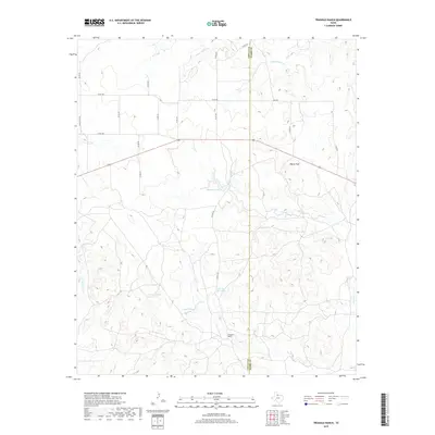
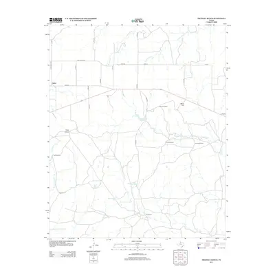 2012 Triangle Ranch2012 Print · USGSCovers Ogden, including Cottle County, Foard County, and other nearby areas
 - 2016 Map of Triangle Ranch, 2016 Print
 2016 Triangle Ranch2016 Print · USGSCovers Ogden, including Cottle County, Foard County, and other nearby areas
 - 2019 Map of Triangle Ranch, 2019 Print
 2019 Triangle Ranch2019 Print · USGSCovers Ogden, including Cottle County, Foard County, and other nearby areas
 - 2022 Map of Triangle Ranch, 2022 Print
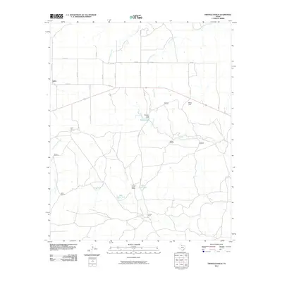
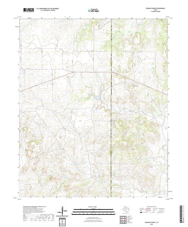 2022 Triangle Ranch2022 Print · USGSCottle and Foard counties in West Texas are shown here as an active ranching landscape in the early twenty-first century. Researchers can trace the boundaries of family-run lands and essential water sources like Matador Tank, Marys Peak, and Charley Hart Tank.
End of results
Showing maps 1-9 of 9
Top cities near Ogden
Frequently asked questions
- What are the different types of historical maps available for Ogden?
- What is the oldest map of Ogden?
- Where can I purchase historical maps of Ogden for my home or office?
- Where can I download high-res historical maps of Ogden?
- Are there historical topographic maps available for Ogden?
- Is there historical aerial imagery available for Ogden?
- Where are historical maps of Ogden sourced from?