
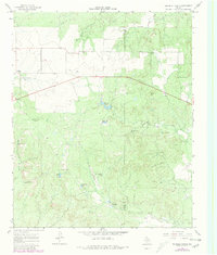
1967 Map of Triangle Ranch
USGS Topo · Published 1969About this map
Triangle Ranch occupies the southern reaches of this West Texas landscape, where the border of Cottle and Foard counties marks the transition between ranching lands and the breaks of the Red River valley. The terrain is defined by a dense network of seasonal drainages and stock tanks, including Matador Tank and Charley Hart Tank, which supported the region's cattle industry. Evidence of the early 20th-century settlement pattern is visible at Ogden (Site), a former community along the route of Highway 70.
Find a feature on this map
25 named features on this map. Tap any name to fly to it.
Don’t see what you’re looking for? This feature index may not catch every label — zoom into the map to look around manually.
Map Details
Editions of this 1967 Triangle Ranch Map
2 editions found
Other maps of this area

1927 · Quanah 3-b
USGS Topo · 1:48,000

1932 · Vivian
USGS Topo · 1:62,500

1954 · Lubbock
USGS Topo · 1:250,000

1954 · Plainview
USGS Topo · 1:250,000

1954 · Wichita Falls
USGS Topo · 1:250,000

1955 · Lawton
USGS Topo · 1:250,000

1958 · Wichita Falls
USGS Topo · 1:250,000

1958 · Plainview
USGS Topo · 1:250,000

1960 · Teacup Mountain
USGS Topo · 1:62,500
1967 · Baker
USGS Topo · 1:24,000