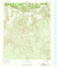
1967 Map of Baker
USGS Topo · Published 1969About this map
The Quanah Acme and Pacific railroad cuts a diagonal path across the northern reaches of Cottle County, providing a vital link through this cattle-ranching landscape in the late 1960s. The small settlement of Baker sits along the rail line just west of a significant Gravel Pit operation near the Pease River. This waterway, joined by the North Pease River, defines the northern boundary and shapes the local topography with its broad sandy bed and adjacent canyons.
Find a feature on this map
20 named features on this map. Tap any name to fly to it.
Don’t see what you’re looking for? This feature index may not catch every label — zoom into the map to look around manually.
Map Details
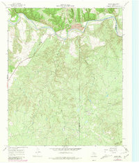
Editions of this 1967 Baker Map
2 editions found
Other maps of this area

1927 · Quanah 3-b
USGS Topo · 1:48,000

1932 · Vivian
USGS Topo · 1:62,500

1954 · Plainview
USGS Topo · 1:250,000

1955 · Lawton
USGS Topo · 1:250,000

1958 · Plainview
USGS Topo · 1:250,000

1960 · Goodlett
USGS Topo · 1:62,500

1960 · Teacup Mountain
USGS Topo · 1:62,500

1967 · Buckle L Ranch
USGS Topo · 1:24,000

1967 · Kirkland South
USGS Topo · 1:24,000

1967 · Triangle Ranch
USGS Topo · 1:24,000