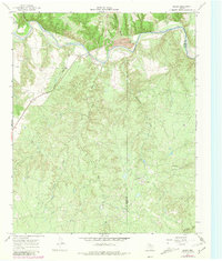
1967 Map of Baker
USGS Topo · Published 1981About this map
The Quanah Acme and Pacific railroad cuts a diagonal line across this landscape, connecting the small settlement of Baker to the wider cattle and freight networks of North Texas. This 1967 survey, with revisions added in 1979, illustrates a region defined by its rugged drainages and ranching infrastructure. The Pease River dominates the northern border, carving deep into the earth at Ninetyfoot Canyon and forming a boundary with Foard County.
Find a feature on this map
19 named features on this map. Tap any name to fly to it.
Don’t see what you’re looking for? This feature index may not catch every label — zoom into the map to look around manually.
Map Details
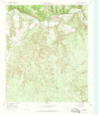
Editions of this 1967 Baker Map
2 editions found
Other maps of this area

1927 · Quanah 3-b
USGS Topo · 1:48,000

1932 · Vivian
USGS Topo · 1:62,500

1954 · Plainview
USGS Topo · 1:250,000

1955 · Lawton
USGS Topo · 1:250,000

1958 · Plainview
USGS Topo · 1:250,000

1960 · Goodlett
USGS Topo · 1:62,500

1960 · Teacup Mountain
USGS Topo · 1:62,500

1967 · Buckle L Ranch
USGS Topo · 1:24,000

1967 · Kirkland South
USGS Topo · 1:24,000

1967 · Triangle Ranch
USGS Topo · 1:24,000