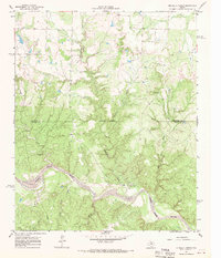
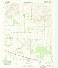
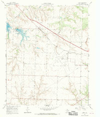
1967 Map of Buckle L Ranch
USGS Topo · Published 1969About this map
Buckle L Ranch serves as the namesake landmark of this West Texas landscape, where the rugged drainage systems of the North Pease River carve through the plains. Mapped in the mid-1960s, the terrain is defined by a dense network of intermittent waterways, including the descriptively named Big Nasty Creek and Little Nasty Creek, alongside Scatterbranch Creek and Chimney Creek. These canyons and creek beds illustrate the erosional patterns characteristic of the Rolling Plains region along the Childress and Cottle County line.
Find a feature on this map
15 named features on this map. Tap any name to fly to it.
Don’t see what you’re looking for? This feature index may not catch every label — zoom into the map to look around manually.
Map Details
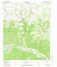
Editions of this 1967 Buckle L Ranch Map
2 editions found
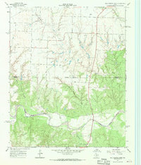
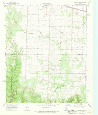
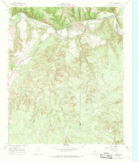
Other maps of this area

1954 · Plainview
USGS Topo · 1:250,000

1958 · Plainview
USGS Topo · 1:250,000
1967 · Hell Roaring Creek
USGS Topo · 1:24,000
1967 · Kirkland South
USGS Topo · 1:24,000
1967 · Kirkland North
USGS Topo · 1:24,000
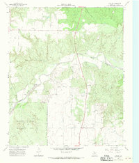
1967 · Dunlap
USGS Topo · 1:24,000
1967 · Baker
USGS Topo · 1:24,000
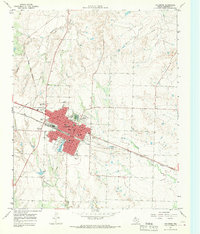
1967 · Childress
USGS Topo · 1:24,000
1967 · Carey
USGS Topo · 1:24,000
1967 · Swearingen
USGS Topo · 1:24,000