Old Maps of Four Corner Windmill, Texas for Hiking & Exploration
Hike through history with 10 historic maps of Four Corner Windmill. Explore old trails, ghost towns, and forgotten backroads — perfect for outdoor adventurers and local explorers.
- Rediscover forgotten places: Map out old mining camps, roads, and footpaths that no longer exist on modern maps.
- Layer with modern tools: Combine with LiDAR or satellite views to plan hikes through historical terrain.
- Made for exploration: Popular among hikers, overlanders, and local history lovers.
Use these maps to find adventure and explore the hidden past of Four Corner Windmill.
Four Corner Windmill, TX maps
(10)- 1929 Map of Sheffield
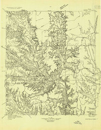 1929 Sheffield1929 Print · USGSWest Texas ranching and the early oil boom meet along the Pecos River in the late twenties. Researchers can trace the Old Spanish Trail through Sheffield or locate historical sites like Fort Lancaster and the Yates Oil Field.
 - 1954 Map of Sonora, 1965 Print
 1954 Sonora1965 Print · USGSThe Edwards Plateau and West Texas ranching country come alive in this mid-century survey of the canyons and plateaus. Genealogists and historians can trace the remote settlements of Pandale and Loma Alta or follow the path of the Panhandle and Santa Fe RR.2 unique versions available
 - 1958 Map of Sonora
 1958 Sonora1958 Print · USGSThe Edwards Plateau and Trans-Pecos region come alive in the late fifties, showing a landscape of remote ranchlands and historic frontier outposts. Trace the legacy of Fort Lancaster Ruins, the limestone depths of Devils Sinkhole Cavern, and the path of the Pecos River.
 - 1967 Map of Bachelor Hill, 1970 Print
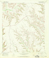 1967 Bachelor Hill1970 Print · USGSCrockett County ranch land and resource extraction are documented in the late sixties before modern development. Genealogists and researchers can trace family sites at Graves or locate regional landmarks like Escondido Water Hole and the Four Corner Windmill.
 - 1985 Map of Ozona
 1985 Ozona1985 Print · USGSCrockett County in the mid-eighties was a land of sprawling oil fields and high desert plateaus. Genealogists and local historians can trace the foundations of Fort Lancaster (Ruins) and follow the vital watercourse of the Pecos River near Sheffield.2 unique versions available
 - 2010 Map of Bachelor Hill, 2010 Print
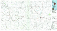
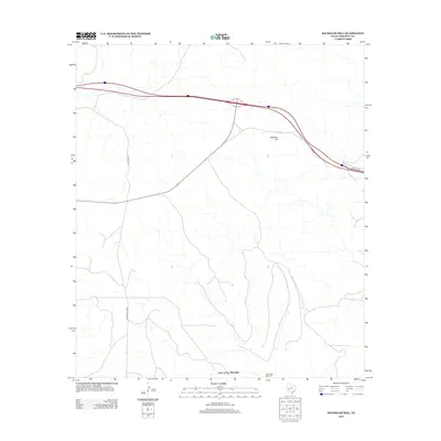
 2010 Bachelor Hill2010 Print · USGSCovers Four Corner Windmill, including Crockett County, United States, and other nearby areas
 - 2012 Map of Bachelor Hill, 2012 Print
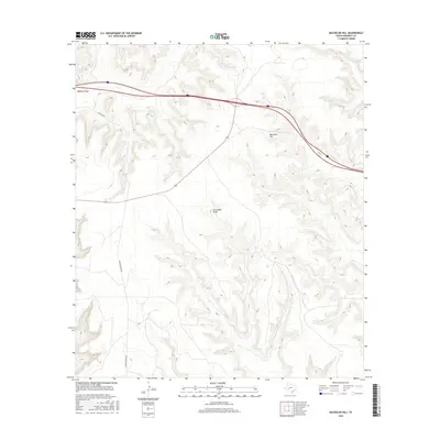
 2012 Bachelor Hill2012 Print · USGSCovers Four Corner Windmill, including Crockett County, United States, and other nearby areas
 - 2016 Map of Bachelor Hill, 2016 Print
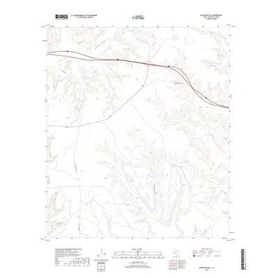
 2016 Bachelor Hill2016 Print · USGSCovers Four Corner Windmill, including Crockett County, United States, and other nearby areas
 - 2019 Map of Bachelor Hill, 2019 Print
 2019 Bachelor Hill2019 Print · USGSCovers Four Corner Windmill, including Crockett County, United States, and other nearby areas
 - 2022 Map of Bachelor Hill, 2022 Print
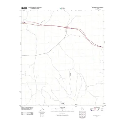
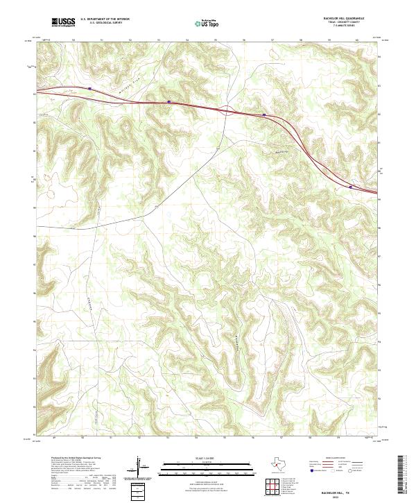 2022 Bachelor Hill2022 Print · USGSCrockett County's high ground and deep draws are documented here in the early twenty-first century. Researchers can trace the modern interstate corridor as it bypasses traditional landmarks like Bachelor Hill and the winding course of Escondido Draw.
End of results
Showing maps 1-10 of 10
Frequently asked questions
- What are the different types of historical maps available for Four Corner Windmill?
- What is the oldest map of Four Corner Windmill?
- Where can I purchase historical maps of Four Corner Windmill for my home or office?
- Where can I download high-res historical maps of Four Corner Windmill?
- Are there historical topographic maps available for Four Corner Windmill?
- Is there historical aerial imagery available for Four Corner Windmill?
- Where are historical maps of Four Corner Windmill sourced from?