Old Maps of Robertson, Texas for Genealogy
Trace your family roots with 8 historic maps of Robertson. These high-res maps reveal old neighborhoods, homesites, landmarks, and streets — helping you uncover where your ancestors lived and how the area evolved over time.
- Explore historic neighborhoods: Identify where your relatives may have lived in the 1800s or 1900s.
- Compare maps over time: Trace the changes in streets, buildings, and landmarks for multi-generational research.
- Perfect for genealogy & ancestry research: Used by family historians and researchers to map out lineage and migration.
These maps are an incredible resource for exploring your personal connection to Robertson's past.
Robertson, TX maps
(8)- 1954 Map of Lubbock, 1958 Print
 1954 Lubbock1958 Print · USGSThe High Plains and Caprock region of West Texas come alive in the mid-1950s, showing a landscape defined by oil discovery and the Brazos River headwaters. Genealogists and historians can trace rail-connected towns like Roaring Springs, find the Pleasant Valley church, or locate family-named landmarks such as Soldier Mound.4 unique versions available
 - 1965 Map of Acuff, 1966 Print
 1965 Acuff1966 Print · USGSThe Lubbock and Crosby county line during the mid-sixties shows a landscape shaped by petroleum and agricultural development. Genealogists and local historians can trace family-named roads and rural hubs like Acuff, Robertson, and the Ha-Na Field.
 - 1986 Map of Lubbock
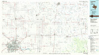 1986 Lubbock1986 Print · USGSLubbock and the surrounding High Plains are documented in the mid-eighties as a structured grid of agricultural tracts and growing urban centers. Genealogists and local historians can trace family-named areas like Heckville, old rail stops on the Atchison Topeka and Santa Fe, and the winding path of Yellow House Canyon.2 unique versions available
 - 2010 Map of Acuff, 2010 Print
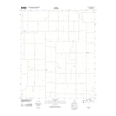 2010 Acuff2010 Print · USGSLubbock County’s agricultural heartland is documented here at the start of the 2010s. Local researchers can trace the roads connecting Acuff and Midway, or locate the S-Bar Ranch and the Ha-Ra Oil Field among the grid of cotton fields.
 - 2012 Map of Acuff, 2012 Print
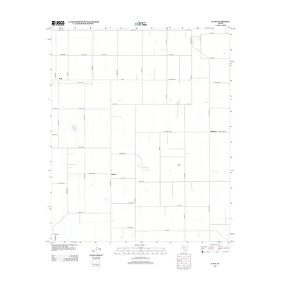 2012 Acuff2012 Print · USGSLubbock County agricultural lands and energy fields are mapped in detail during the early twenty-first century. Genealogists and local historians can trace family-named roads and rural settlements like Acuff, Midway, and the Ha-Ra Oil Field.
 - 2016 Map of Acuff, 2016 Print
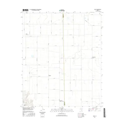 2016 Acuff2016 Print · USGSLubbock and Crosby counties appear here in the mid-2010s, showing a landscape of precise road grids and deep canyon draws. Researchers can trace the rural communities of Acuff, Midway, and Robertson alongside the natural breaks of Long Hollow Canyon.
 - 2019 Map of Acuff, 2019 Print
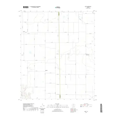 2019 Acuff2019 Print · USGSThe Lubbock and Crosby county line area comes into focus in this recent survey of the Texas South Plains. Genealogists and local historians can trace the grid of farm-to-market roads and ranch trails connecting Acuff, Midway, and Robertson.
 - 2022 Map of Acuff, 2022 Print
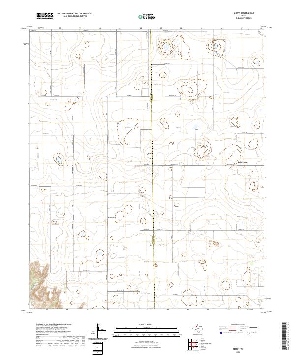 2022 Acuff2022 Print · USGSLubbock and Crosby counties appear here in the early twenty-first century, showing the enduring agricultural grid of the High Plains. Researchers can trace the layout of small settlements like Acuff, Midway, and Robertson alongside a dense network of farm-to-market roads.
End of results
Showing maps 1-8 of 8
Top cities near Robertson
- Slaton historical maps
- Idalou historical maps
- Ralls historical maps
- Lorenzo historical maps
- Ransom Canyon historical maps
- Buffalo Springs historical maps
Frequently asked questions
- What are the different types of historical maps available for Robertson?
- What is the oldest map of Robertson?
- Where can I purchase historical maps of Robertson for my home or office?
- Where can I download high-res historical maps of Robertson?
- Are there historical topographic maps available for Robertson?
- Is there historical aerial imagery available for Robertson?
- Where are historical maps of Robertson sourced from?