Old Maps of Robertson, Texas for Hiking & Exploration
Hike through history with 8 historic maps of Robertson. Explore old trails, ghost towns, and forgotten backroads — perfect for outdoor adventurers and local explorers.
- Rediscover forgotten places: Map out old mining camps, roads, and footpaths that no longer exist on modern maps.
- Layer with modern tools: Combine with LiDAR or satellite views to plan hikes through historical terrain.
- Made for exploration: Popular among hikers, overlanders, and local history lovers.
Use these maps to find adventure and explore the hidden past of Robertson.
Robertson, TX maps
(8)- 1954 Map of Lubbock, 1958 Print
 1954 Lubbock1958 Print · USGSThe High Plains and Caprock region of West Texas come alive in the mid-1950s, showing a landscape defined by oil discovery and the Brazos River headwaters. Genealogists and historians can trace rail-connected towns like Roaring Springs, find the Pleasant Valley church, or locate family-named landmarks such as Soldier Mound.4 unique versions available
 - 1965 Map of Acuff, 1966 Print
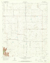 1965 Acuff1966 Print · USGSThe Lubbock and Crosby county line during the mid-sixties shows a landscape shaped by petroleum and agricultural development. Genealogists and local historians can trace family-named roads and rural hubs like Acuff, Robertson, and the Ha-Na Field.
 - 1986 Map of Lubbock
 1986 Lubbock1986 Print · USGSLubbock and the surrounding High Plains are documented in the mid-eighties as a structured grid of agricultural tracts and growing urban centers. Genealogists and local historians can trace family-named areas like Heckville, old rail stops on the Atchison Topeka and Santa Fe, and the winding path of Yellow House Canyon.2 unique versions available
 - 2010 Map of Acuff, 2010 Print
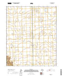
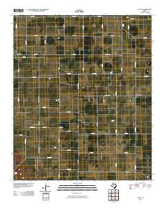 2010 Acuff2010 Print · USGSCovers Robertson, including Acuff, Midway, and other nearby areas
 - 2012 Map of Acuff, 2012 Print
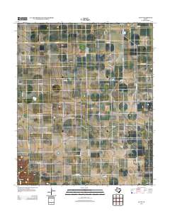 2012 Acuff2012 Print · USGSCovers Robertson, including Acuff, Midway, and other nearby areas
 - 2016 Map of Acuff, 2016 Print
 2016 Acuff2016 Print · USGSCovers Robertson, including Acuff, Midway, and other nearby areas
 - 2019 Map of Acuff, 2019 Print
 2019 Acuff2019 Print · USGSCovers Robertson, including Acuff, Midway, and other nearby areas
 - 2022 Map of Acuff, 2022 Print
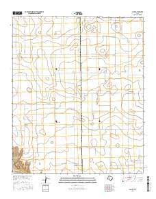
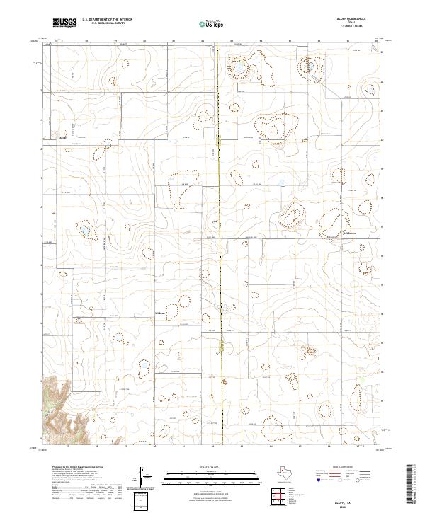 2022 Acuff2022 Print · USGSLubbock and Crosby counties appear here in the early twenty-first century, showing the enduring agricultural grid of the High Plains. Researchers can trace the layout of small settlements like Acuff, Midway, and Robertson alongside a dense network of farm-to-market roads.
End of results
Showing maps 1-8 of 8
Top cities near Robertson
- Slaton historical maps
- Idalou historical maps
- Ralls historical maps
- Lorenzo historical maps
- Ransom Canyon historical maps
- Buffalo Springs historical maps
Frequently asked questions
- What are the different types of historical maps available for Robertson?
- What is the oldest map of Robertson?
- Where can I purchase historical maps of Robertson for my home or office?
- Where can I download high-res historical maps of Robertson?
- Are there historical topographic maps available for Robertson?
- Is there historical aerial imagery available for Robertson?
- Where are historical maps of Robertson sourced from?