Old Maps of DeSoto, Texas for Academic Research
Study the evolution of DeSoto with 32 high-resolution historic maps. Whether you're teaching, researching, or modeling changes in land use, these maps provide essential visual documentation of urban, environmental, and geographic change.
- Analyze long-term change: Track patterns in development, transportation, and natural features.
- Ideal for environmental or urban studies: Support academic projects with primary historical map data.
- Use in the classroom or lab: Educators and researchers rely on these maps to bring historical context to life.
These maps are a powerful tool for teaching, research, and visualizing how DeSoto has changed over the decades.
DeSoto, TX maps
(32)- 1891 Map of Dallas
 1891 Dallas1891 Print · USGSThe Dallas area during the late nineteenth century was a rapidly growing rail hub still defined by its river crossings and rural outposts. Genealogists and historians can trace the foundations of the metroplex through early landmarks like Oak Cliff, Doddy's Ferry, and Haughts Store.
 - 1893 Map of Dallas
 1893 Dallas1893 Print · USGSDallas was a rising railroad power in the 1890s, when iron rails and river crossings dictated the growth of North Texas. Genealogists can locate vanished landmarks and rural hubs like Oak Cliff, Doddy's Ferry, and Haught's Store before the city's modern sprawl.5 unique versions available
 - 1954 Map of Dallas, 1963 Print
 1954 Dallas1963 Print · USGSNorth Texas in the mid-fifties and early sixties reveals a landscape of rapid urban growth and water management. Genealogists and historians can trace the evolution of the metroplex through landmarks like Hensley Field, Boles Orphan Home, and the Texas & Pacific RR.4 unique versions available
 - 1958 Map of Dallas
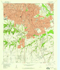
 1958 Dallas1958 Print · USGSNorth Texas in the late fifties shows the dramatic expansion of the Metroplex as it absorbs surrounding farm towns. Genealogists and historians can trace old rail lines like the Missouri-Kansas-Texas and locate early lakefront developments at Eagle Mountain Lake and Lake Worth Village.
 - 1958 Map of Oak Cliff, 1959 Print
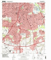
 1958 Oak Cliff1959 Print · USGSIn the late 1950s, Oak Cliff and South Dallas were undergoing rapid suburbanization around the Trinity River bottomlands. Researchers can trace mid-century institutional growth at the Veterans Hospital or locate historic family plots at Lisbon Cem and Wheatland Cem.5 unique versions available
 - 1959 Map of Lancaster, 1960 Print
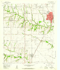 1959 Lancaster1960 Print · USGSSouthern Dallas County and northern Ellis County are shown here in the late fifties, as traditional farming communities began to expand. You can locate family history at Rawlins Cem, trace the Missouri Kansas Texas Railroad corridor, and find old landmarks like Camp Pinkston or Beckley City Chapel.5 unique versions available
 - 1959 Map of Cedar Hill, 1960 Print
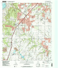
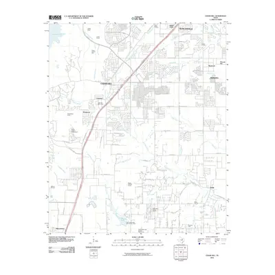
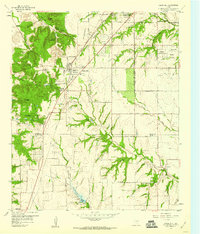 1959 Cedar Hill1960 Print · USGSDuring the late fifties, the Dallas and Ellis county line remained a mix of rural encampments and developing suburbs like Cedar Hill and De Soto. Researchers can trace old family sites at Rhodes Cemetery or find historic community hubs like Shiloh Cemetery and the True Vine Church.6 unique versions available
 - 1959 Map of Duncanville, 1961 Print
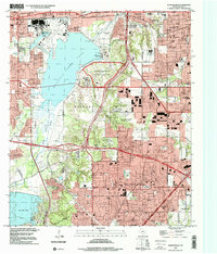
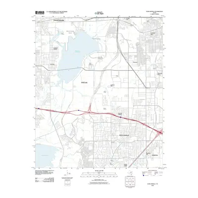
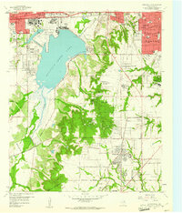 1959 Duncanville1961 Print · USGSDallas and Duncanville are captured here during a transitional era of military aviation and early suburban growth. Researchers can trace family sites at Trees Cem, explore the Dallas Naval Air Station, or locate the Camp Wisdom grounds.6 unique versions available
 - 1986 Map of Dallas
 1986 Dallas1986 Print · USGSThe North Texas metropolitan landscape comes into focus during the mid-eighties as urban growth expands toward the eastern reservoirs. Researchers can trace historic cemeteries like Oak Cliff Cem, rail corridors of the Texas & Pacific RR, and landmarks such as Southern Methodist University.3 unique versions available
 - 1995 Map of Oak Cliff, 2001 Print
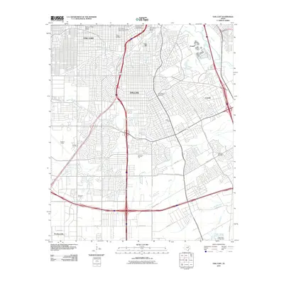
 1995 Oak Cliff2001 Print · USGSDallas in the mid-1990s reveals a suburban landscape reaching its southern limits near the Lancaster border. Genealogists and researchers can trace local landmarks like Laurel Land Memorial Park (Cemetery), the historic Fruitdale area, and the former grounds of the Former Strip Mine.
 - 1995 Map of Cedar Hill, 2001 Print
 1995 Cedar Hill2001 Print · USGSThe suburban landscape south of Dallas was undergoing significant growth in the mid-nineties as cities like De Soto and Ovilla expanded. You can trace family roots at the Shiloh Cemetery or locate landmarks like the Mount Lebanon Encampment and Cedarview.
 - 1995 Map of Duncanville, 2001 Print
 1995 Duncanville2001 Print · USGSSouthwest Dallas and Duncanville are shown here during the late twentieth-century suburban boom. Researchers can trace local heritage through landmarks like Armstrong Historical Park, the Dallas-Fort Worth National Cemetery, and Trees Cem.
 - 2010 Map of Lancaster, 2010 Print
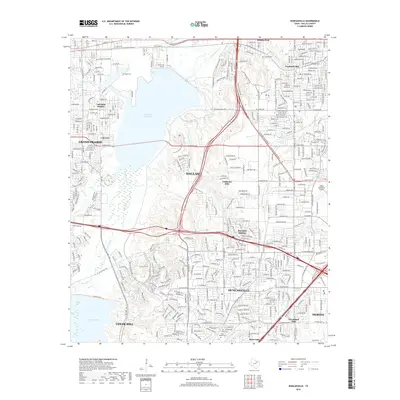
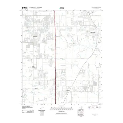 2010 Lancaster2010 Print · USGSCovers DeSoto, including Dallas, De Soto, and other nearby areas
 - 2010 Map of Cedar Hill, 2010 Print
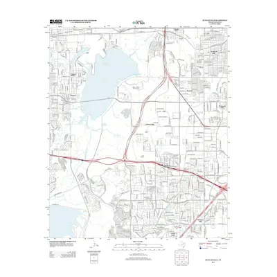
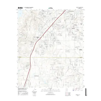
 2010 Cedar Hill2010 Print · USGSCovers DeSoto, including Dallas, Grand Prairie, and other nearby areas
 - 2010 Map of Duncanville, 2010 Print
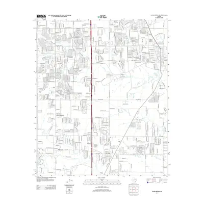
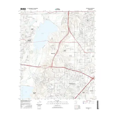
 2010 Duncanville2010 Print · USGSCovers DeSoto, including Dallas, Grand Prairie, and other nearby areas
 - 2010 Map of Oak Cliff, 2010 Print
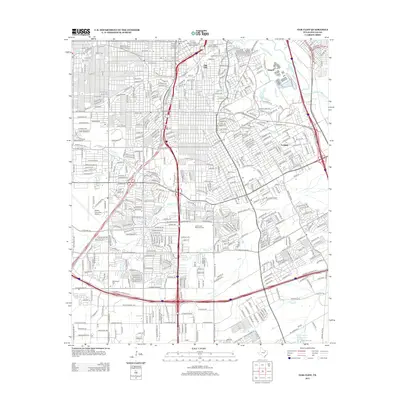
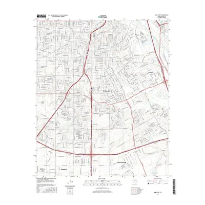
 2010 Oak Cliff2010 Print · USGSCovers DeSoto, including Dallas, Lancaster, and other nearby areas
 - 2012 Map of Oak Cliff, 2012 Print
 2012 Oak Cliff2012 Print · USGSCovers DeSoto, including Dallas, Lancaster, and other nearby areas
 - 2012 Map of Duncanville, 2012 Print
 2012 Duncanville2012 Print · USGSCovers DeSoto, including Dallas, Grand Prairie, and other nearby areas
 - 2012 Map of Lancaster, 2012 Print
 2012 Lancaster2012 Print · USGSCovers DeSoto, including Dallas, De Soto, and other nearby areas
 - 2012 Map of Cedar Hill, 2012 Print
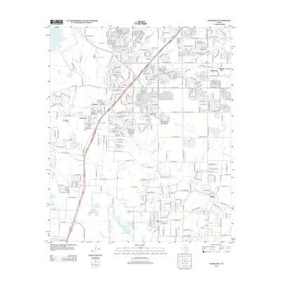 2012 Cedar Hill2012 Print · USGSCovers DeSoto, including Dallas, Grand Prairie, and other nearby areas
 - 2016 Map of Lancaster, 2016 Print
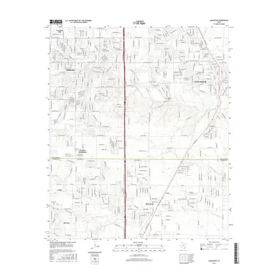 2016 Lancaster2016 Print · USGSCovers DeSoto, including Dallas, De Soto, and other nearby areas
 - 2016 Map of Oak Cliff, 2016 Print
 2016 Oak Cliff2016 Print · USGSCovers DeSoto, including Dallas, Lancaster, and other nearby areas
 - 2016 Map of Duncanville, 2016 Print
 2016 Duncanville2016 Print · USGSCovers DeSoto, including Dallas, Grand Prairie, and other nearby areas
 - 2016 Map of Cedar Hill, 2016 Print
 2016 Cedar Hill2016 Print · USGSCovers DeSoto, including Dallas, Grand Prairie, and other nearby areas
 - 2019 Map of Duncanville, 2019 Print
 2019 Duncanville2019 Print · USGSCovers DeSoto, including Dallas, Grand Prairie, and other nearby areas
Showing maps 1-25 of 32
Top cities near DeSoto
- Dallas historical maps
- Fort Worth historical maps
- Arlington historical maps
- Irving historical maps
- Garland historical maps
- Grand Prairie historical maps
See more
Top neighborhoods of DeSoto
- Shamrock historical maps
- Summit Parks historical maps
- Pleasant Run historical maps
- De Soto historical maps
Frequently asked questions
- What are the different types of historical maps available for DeSoto?
- What is the oldest map of DeSoto?
- Where can I purchase historical maps of DeSoto for my home or office?
- Where can I download high-res historical maps of DeSoto?
- Are there historical topographic maps available for DeSoto?
- Is there historical aerial imagery available for DeSoto?
- Where are historical maps of DeSoto sourced from?