Old Maps of Denton County, Texas
Explore 52 old maps of Denton County, spanning from 1891 to today. These high-resolution historic maps reveal how streets, neighborhoods, landmarks, and natural features evolved over time — perfect for genealogy, metal detecting, research, and local history exploration.
What you can do with these maps:
- See how Denton County changed over time: Compare historical maps to modern-day views to trace roads, homesites, rail lines & more.
- View detailed metadata: Each map includes creators, publishers, year, scale, and archive source.
- Overlay maps with satellite & LiDAR: Visualize the past alongside modern tools to explore terrain & human change.
- Trusted historical sources: Maps sourced from the USGS, Library of Congress, and other archives.
- Access maps your way: View online, download high-res files, or order prints for personal or research use.
Start exploring old maps of Denton County to uncover forgotten places, hidden landmarks, and the deep history beneath your feet.
Denton County, TX maps
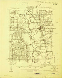
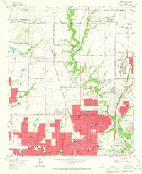
(52)- 1891 Map of Dallas
 1891 Dallas1891 Print · USGSCovers Denton County, including Dallas, Plano, and other nearby areas
 - 1893 Map of Dallas
 1893 Dallas1893 Print · USGSCovers Denton County, including Dallas, Plano, and other nearby areas5 unique versions available
 - 1894 Map of Fort Worth, 1918 Print
 1894 Fort Worth1918 Print · USGSCovers Denton County, including Dallas, Fort Worth, and other nearby areas3 unique versions available
 - 1925 Map of Mc Kinney 3-c
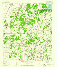
 1925 Mc Kinney 3-c1925 Print · USGSCovers Denton County, including Frisco, Carrollton, and other nearby areas
 - 1925 Map of Dallas 2-b
 1925 Dallas 2-b1925 Print · USGSCovers Denton County, including Dallas, Irving, and other nearby areas
 - 1929 Map of Frisco
 1929 Frisco1929 Print · USGSCovers Denton County, including Dallas, Plano, and other nearby areas2 unique versions available
 - 1931 Map of Carrollton
 1931 Carrollton1931 Print · USGSCovers Denton County, including Dallas, Plano, and other nearby areas3 unique versions available
 - 1931 Map of Grapevine
 1931 Grapevine1931 Print · USGSCovers Denton County, including Fort Worth, Arlington, and other nearby areas2 unique versions available
 - 1954 Map of Dallas, 1963 Print
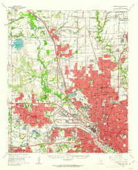
 1954 Dallas1963 Print · USGSCovers Denton County, including Dallas, Fort Worth, and other nearby areas4 unique versions available
 - 1954 Map of Sherman, 1964 Print
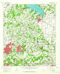
 1954 Sherman1964 Print · USGSCovers Denton County, including Dallas, Fort Worth, and other nearby areas2 unique versions available
 - 1955 Map of Avondale, 1956 Print
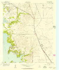 1955 Avondale1956 Print · USGSCovers Denton County, including Fort Worth, Saginaw, and other nearby areas5 unique versions available
 - 1955 Map of Keller, 1956 Print
 1955 Keller1956 Print · USGSCovers Denton County, including Fort Worth, Keller, and other nearby areas5 unique versions available
 - 1955 Map of Haltom City, 1964 Print
 1955 Haltom City1964 Print · USGSCovers Denton County, including Fort Worth, North Richland Hills, and other nearby areas
 - 1958 Map of Dallas
 1958 Dallas1958 Print · USGSCovers Denton County, including Dallas, Fort Worth, and other nearby areas
 - 1958 Map of Sherman, 1959 Print
 1958 Sherman1959 Print · USGSCovers Denton County, including Dallas, Fort Worth, and other nearby areas
 - 1959 Map of Grapevine, 1960 Print
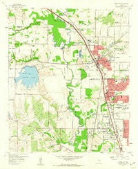
 1959 Grapevine1960 Print · USGSCovers Denton County, including Irving, Lewisville, and other nearby areas5 unique versions available
 - 1959 Map of Addison, 1960 Print
 1959 Addison1960 Print · USGSCovers Denton County, including Dallas, Plano, and other nearby areas6 unique versions available
 - 1959 Map of Colleyville, 1960 Print
 1959 Colleyville1960 Print · USGSCovers Denton County, including Fort Worth, North Richland Hills, and other nearby areas5 unique versions available
 - 1959 Map of Carrollton, 1960 Print
 1959 Carrollton1960 Print · USGSCovers Denton County, including Dallas, Irving, and other nearby areas8 unique versions available
 - 1959 Map of Ponder, 1961 Print
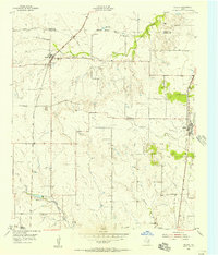
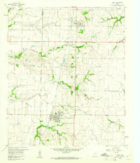
 1959 Ponder1961 Print · USGSCovers Denton County, including Denton, Northlake, and other nearby areas2 unique versions available
 - 1959 Map of Carrollton, 1963 Print
 1959 Carrollton1963 Print · USGSCovers Denton County, including Dallas, Plano, and other nearby areas
 - 1959 Map of Grapevine, 1964 Print
 1959 Grapevine1964 Print · USGSCovers Denton County, including Fort Worth, Arlington, and other nearby areas
 - 1960 Map of Frisco, 1961 Print
 1960 Frisco1961 Print · USGSCovers Denton County, including Frisco, McKinney, and other nearby areas5 unique versions available
 - 1960 Map of Justin, 1961 Print
 1960 Justin1961 Print · USGSCovers Denton County, including Fort Worth, Roanoke, and other nearby areas4 unique versions available
 - 1960 Map of Sanger, 1961 Print
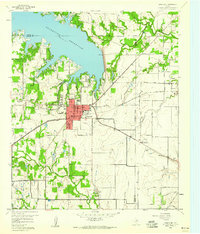
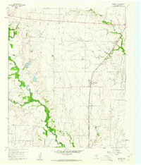
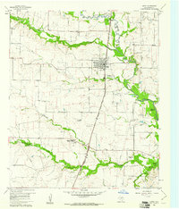
 1960 Sanger1961 Print · USGSCovers Denton County, including Denton, Sanger, and other nearby areas4 unique versions available
Showing maps 1-25 of 52
Top cities of Denton County
- Denton historical maps
- Lewisville historical maps
- Flower Mound historical maps
- Little Elm historical maps
- The Colony historical maps
- Corinth historical maps
See more
Frequently asked questions
- What are the different types of historical maps available for Denton County?
- What is the oldest map of Denton County?
- Where can I purchase historical maps of Denton County for my home or office?
- Where can I download high-res historical maps of Denton County?
- Are there historical topographic maps available for Denton County?
- Is there historical aerial imagery available for Denton County?
- Where are historical maps of Denton County sourced from?