
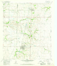
1960 Map of Frisco
USGS Topo · Published 1961About this map
The town of Frisco and the smaller community of Prosper occupy the center of this 1960 survey, situated within the agricultural landscape along the Denton Co Collin Co line. The St Louis San Francisco and Texas railroad corridor serves as the primary industrial axis, connecting these settlements through a series of creek drainages including Panther Creek and Cottonwood Branch. The map captures a moment before modern suburban expansion, where local life centered around rural landmarks like Good Hope Ch, Rockhill Sch, and the Bethel Cem.
Find a feature on this map
26 named features on this map. Tap any name to fly to it.
Don’t see what you’re looking for? This feature index may not catch every label — zoom into the map to look around manually.
Map Details
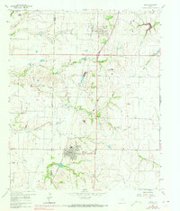
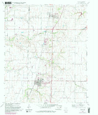
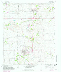
Editions of this 1960 Frisco Map
5 editions found
Other maps of this area

1925 · Mc Kinney 3-c
USGS Topo · 1:48,000

1929 · Frisco
USGS Topo · 1:62,500

1929 · McKinney
USGS Topo · 1:62,500

1954 · Sherman
USGS Topo · 1:250,000

1958 · Sherman
USGS Topo · 1:250,000

1960 · Celina
USGS Topo · 1:24,000

1960 · Plano
USGS Topo · 1:24,000

1960 · Aubrey
USGS Topo · 1:24,000
1960 · Lewisville East
USGS Topo · 1:24,000
1960 · Hebron
USGS Topo · 1:24,000