
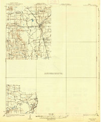
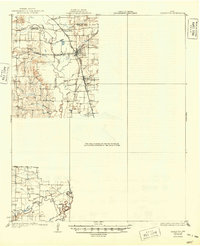
1931 Map of Carrollton
USGS Topo · Published 1931About this map
Carrollton and the surrounding North Texas blackland prairie appear here during a period of significant rail-driven growth along the Elm Fork Trinity River. The landscape is defined by the convergence of major transit lines, including the Missouri Kansas and Texas, St Louis Southwestern, and the Texas Electric interurban. These corridors linked established hubs like Trinity Mills and Farmers Branch to smaller sidings and rural communities.
Find a feature on this map
34 named features on this map. Tap any name to fly to it.
Don’t see what you’re looking for? This feature index may not catch every label — zoom into the map to look around manually.
Map Details
Editions of this 1931 Carrollton Map
3 editions found
Other maps of this area

1891 · Dallas
USGS Topo · 1:125,000

1893 · Dallas
USGS Topo · 1:125,000

1894 · Fort Worth
USGS Topo · 1:125,000

1925 · Mc Kinney 3-c
USGS Topo · 1:48,000

1925 · Dallas 2-b
USGS Topo · 1:48,000

1929 · Frisco
USGS Topo · 1:62,500

1929 · McKinney
USGS Topo · 1:62,500

1931 · Grapevine
USGS Topo · 1:62,500

1954 · Dallas
USGS Topo · 1:250,000

1954 · Sherman
USGS Topo · 1:250,000