2020s Maps of DeWitt County, Texas
Explore 30 historic maps of DeWitt County from the 2020s. These maps offer a rare glimpse into what life looked like during the 2020s — showing old roads, neighborhoods, homes, and landmarks that have changed or disappeared over time.
Whether you're researching your family's past, planning a metal detecting trip, or studying how DeWitt County's landscape evolved across the 2020s, these high-resolution maps are a powerful tool for exploring the history of this region.
- Focus on a specific era: All maps on this page are from the 2020s, giving you a focused view of this time period.
- See what’s changed: Compare century-old streets, trails, and buildings to today's modern landscape using overlays and satellite layers.
- Research with precision: Use these maps for genealogy, historical research, land use analysis, or educational projects.
- View, download, or print: Maps are fully viewable online in high resolution, and can be downloaded or printed for your own records.
Start exploring DeWitt County's history through authentic maps from the 2020s. This is your window into the past.
DeWitt County, TX maps
(30)- 2022 Map of Weesatche, 2022 Print
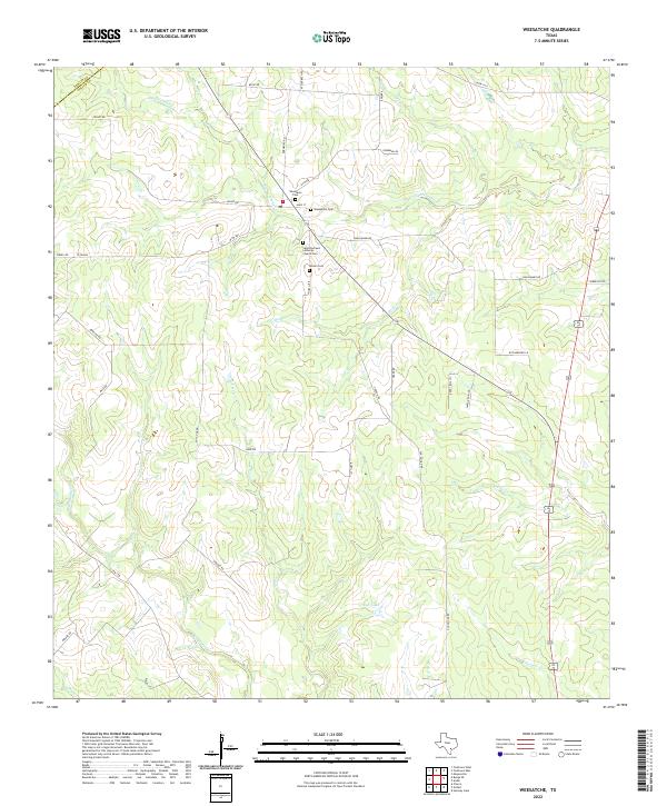 2022 Weesatche2022 Print · USGSGoliad and DeWitt counties meet in this cattle-country landscape during the early twenty-first century. Family historians can trace local roots through several burial grounds, including the Saint Andrews Lutheran Church Cem and Woodlawn Cem.
 - 2022 Map of Mission Valley, 2022 Print
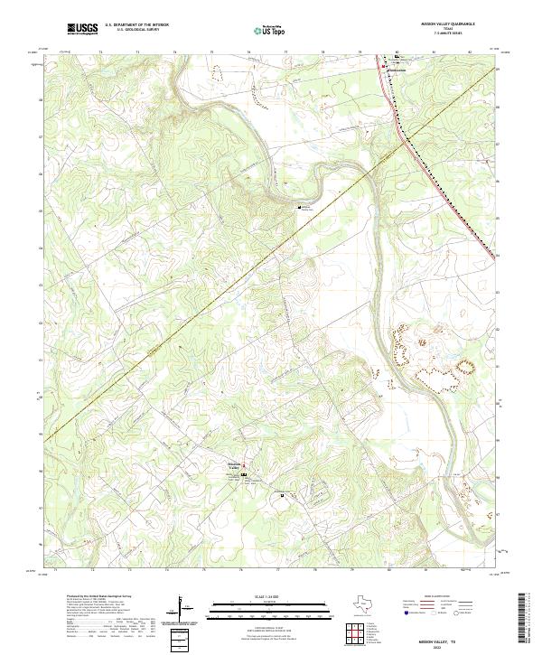 2022 Mission Valley2022 Print · USGSThe Guadalupe River valley straddles the DeWitt and Victoria county lines in this modern topographical study of rural South Texas. Genealogists can locate several historic burial grounds, including the Murphee Family Cem, Guadalupe Cem, and the old settlement of Thomaston.
 - 2022 Map of Hope, 2022 Print
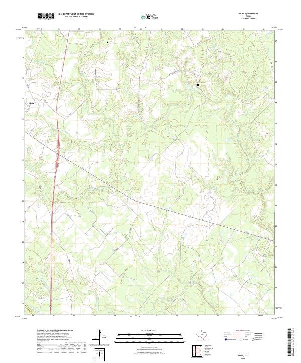 2022 Hope2022 Print · USGSLavaca County's rural landscape is captured here in the early twenty-first century as it borders DeWitt County. Genealogists and local researchers can trace family landmarks near Hope and find the exact locations of Terry Cem and Harless Cem.
 - 2022 Map of Peck Branch, 2022 Print
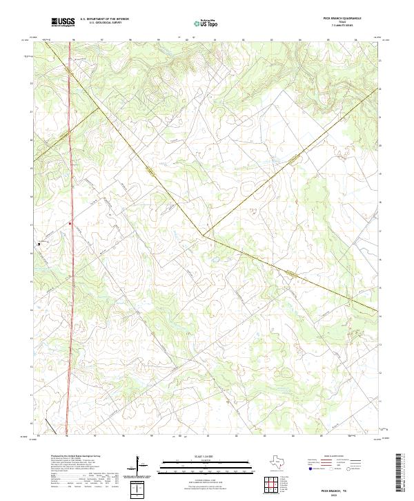 2022 Peck Branch2022 Print · USGSThe ranchlands at the intersection of Victoria, Lavaca, and DeWitt counties are shown here in the early 2020s. Genealogists can trace family landmarks like Fordtran Cem or follow watercourses including Arenosa Cr and Haines Flat Cr.
 - 2022 Map of Yorktown East, 2022 Print
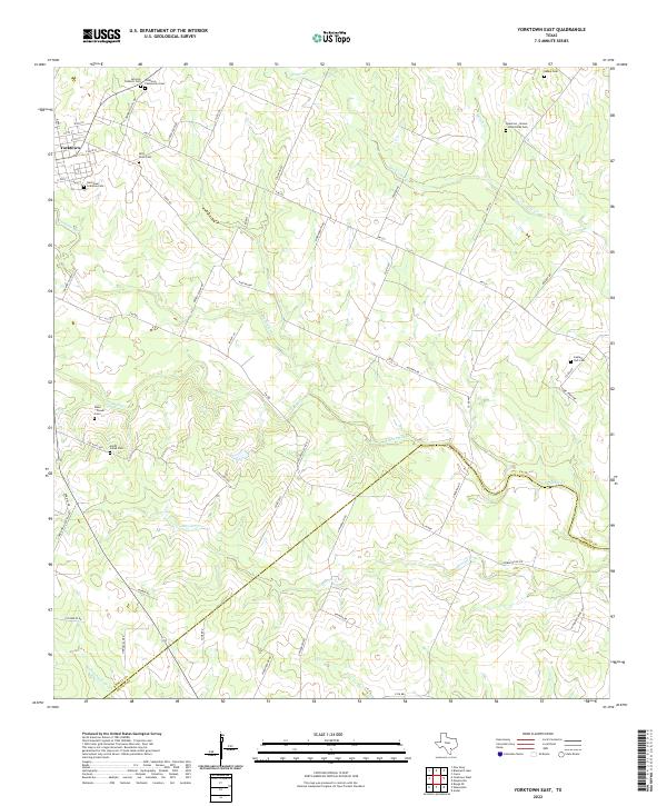 2022 Yorktown East2022 Print · USGSDeWitt County in the early twenty-first century maintains a landscape deeply tied to its pioneer history and family lineages. Genealogists can trace local heritage through numerous burial sites like San Luis Catholic Cem and the Captain York Cem.
 - 2022 Map of Runge, 2022 Print
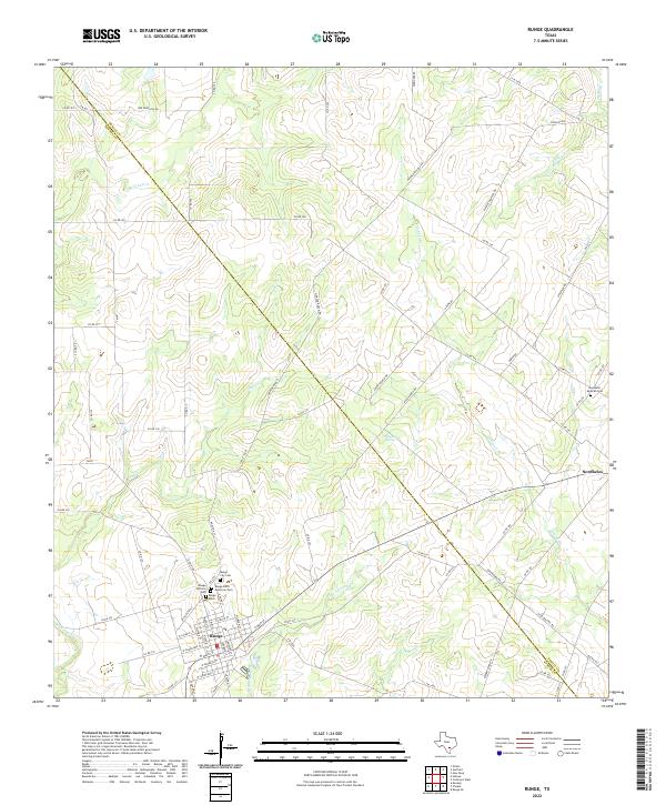 2022 Runge2022 Print · USGSThe South Texas ranching country around Runge and Nordheim comes into focus in this recent survey. Genealogists can trace several local sites including the Runge City Cem and Nordheim Mexican Cem, while explorers can locate Sulphur Spring.
 - 2022 Map of Ander, 2022 Print
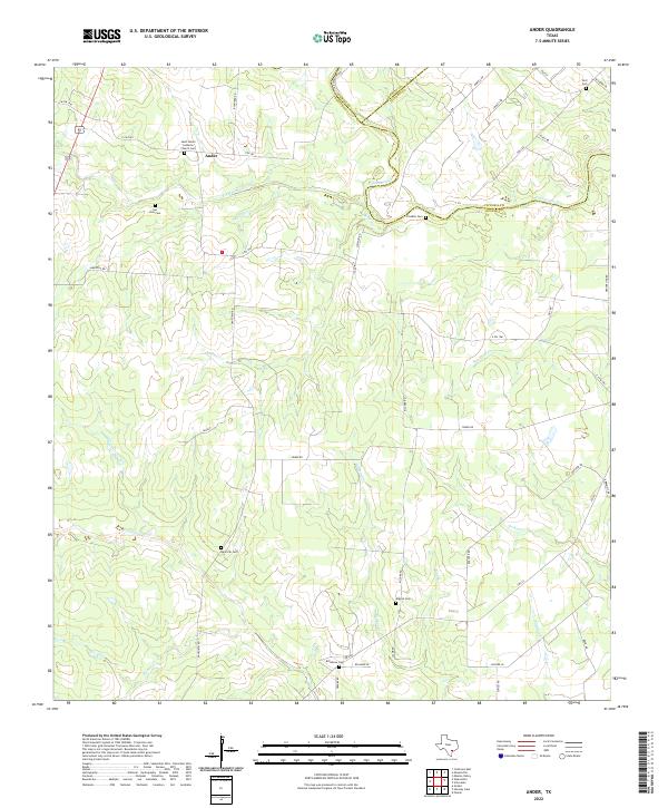 2022 Ander2022 Print · USGSSettled ranchlands at the junction of Goliad, DeWitt, and Victoria counties are shown in the 2020s. Genealogists can trace family burial sites like Killebrew Cem and Noll Cem alongside watercourses like Eighteenmile Cr.
 - 2022 Map of Choate, 2022 Print
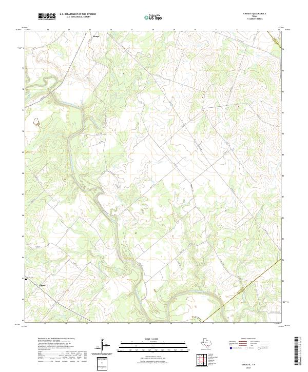 2022 Choate2022 Print · USGSKarnes County ranch lands and river bottoms are captured here in the early twenty-first century. Genealogists and local researchers can trace the rural crossroads at Choate, locate the Choate Cem, and follow the winding path of the San Antonio River.
 - 2022 Map of Meyersville, 2022 Print
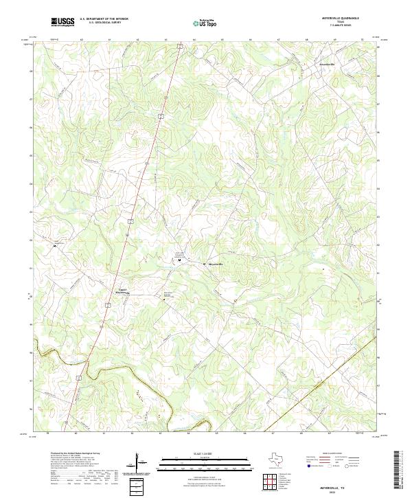 2022 Meyersville2022 Print · USGSDeWitt County, Texas, is shown here in its modern agricultural form, centered on the historic settlements of Meyersville and Arneckeville. Genealogists can locate several family burial grounds, including Saint John Evangelical Lutheran Cem and Saint Josephs Cem.
 - 2022 Map of Fordtran, 2022 Print
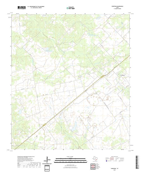 2022 Fordtran2022 Print · USGSThe DeWitt and Victoria county line runs through this South Texas ranching country in the early twenty-first century. Researchers can trace land use around the Fordtran settlement and identify family-named landmarks like Garrett-Gonzales School Rd and Peck Br.
 - 2022 Map of Hochheim, 2022 Print
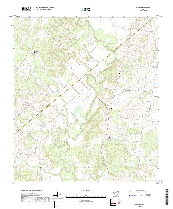 2022 Hochheim2022 Print · USGSDeWitt and Gonzales Counties are shown here during the early twenty-first century, centered on the river-fed lands of Hochheim. Family historians can trace numerous burial sites like Ebenezer Cem, Davis Cem, and the Sons of Herman Cem near the winding Guadalupe River.
 - 2022 Map of Ecleto, 2022 Print
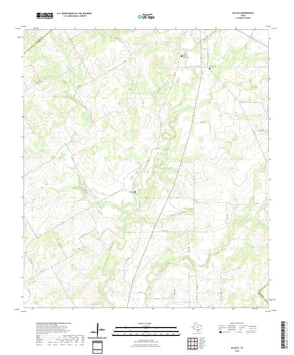 2022 Ecleto2022 Print · USGSKarnes County remains a landscape of quiet rural crossroads and family legacies in the early twenty-first century. Genealogists and local historians can trace small burial sites like Treybig Cem or find landmarks like the Lone Star Baptist Church.
 - 2022 Map of Garfield, 2022 Print
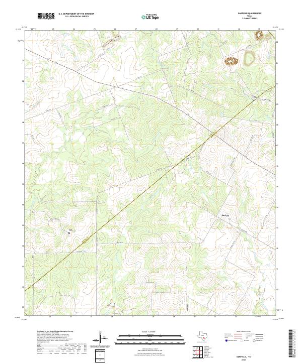 2022 Garfield2022 Print · USGSThe rural Texas borderlands between Karnes and DeWitt counties come into focus in this recent survey of the early 21st-century landscape. Genealogists and local researchers can trace family-named sites like Korth Family Cem, Salt Creek Cem, and the quiet community of Garfield.
 - 2022 Map of Shiner, 2022 Print
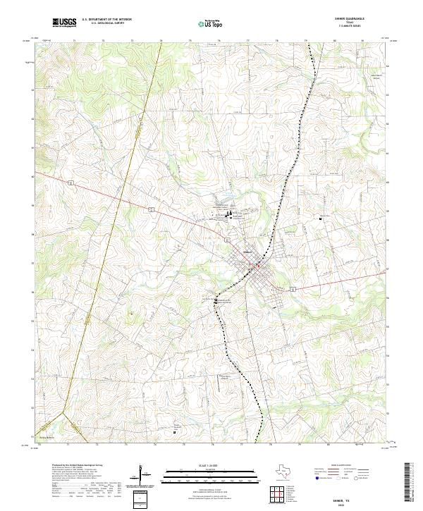 2022 Shiner2022 Print · USGSShiner and the surrounding ranch lands of Lavaca County are shown here in the early twenty-first century. Genealogists can trace family history through a remarkable concentration of local burial sites like SPJST Cem, Shiner Cem - North, and Bunjus Cem.
 - 2022 Map of Sample, 2022 Print
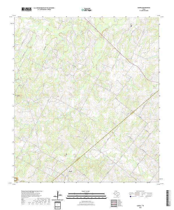 2022 Sample2022 Print · USGSThe Gonzales and DeWitt county line reaches across this rural Texas landscape in the early 2020s, preserving a complex network of ranch roads and creeks. Genealogists can trace family footprints at Sample Cemetery or locate the settlement of Nopal and the nearby Billings Cemetery.
 - 2022 Map of Edgar, 2022 Print
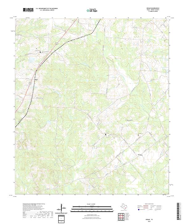 2022 Edgar2022 Print · USGSDeWitt County in the early 2020s remains a landscape of quiet ranching communities and ancestral family lands. Researchers can trace rural lineages through local landmarks like Evergreen Cem, Petty Hollow, and the settlement at Stratton.
 - 2022 Map of Blackwell Lake, 2022 Print
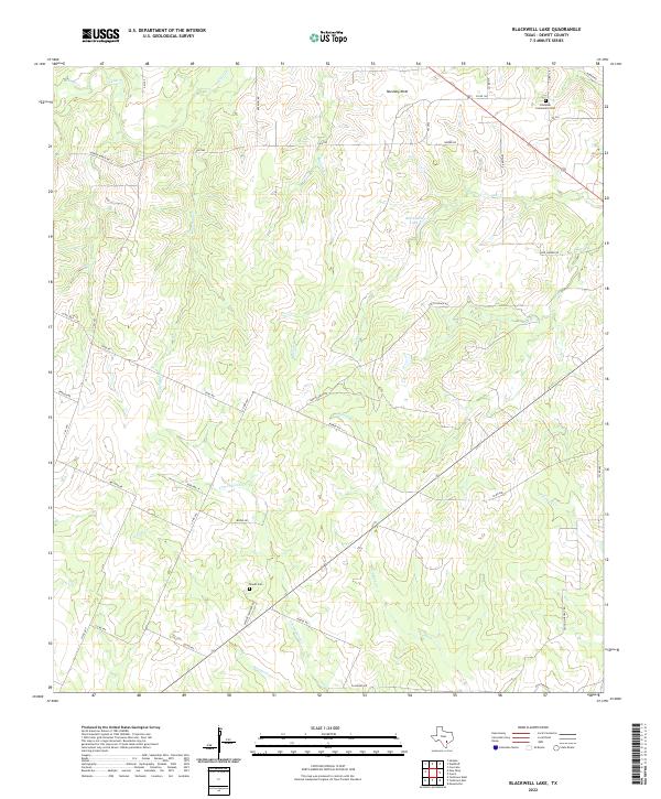 2022 Blackwell Lake2022 Print · USGSDeWitt County ranchlands and creek bottoms are documented here in the early twenty-first century. Genealogists can trace family heritage through landmarks like Lindenau Community Cem, Woods Cem, and the waters of Blackwell Lake.
 - 2022 Map of Concrete, 2022 Print
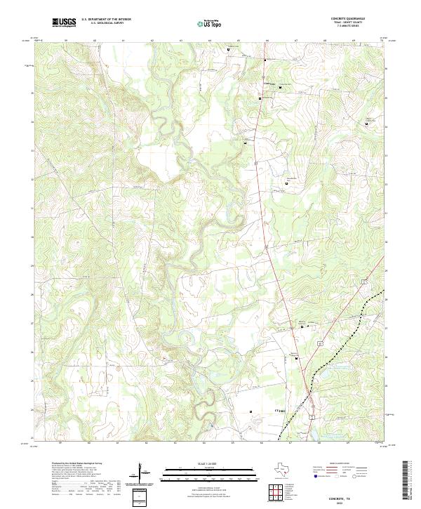 2022 Concrete2022 Print · USGSDeWitt County in the early 2020s remains a landscape of river-bottom settlements and deep family roots. Researchers can trace dozens of local burial sites like Edgar Family Cem and the community of Concrete along the winding Guadalupe River.
 - 2022 Map of Cuero, 2022 Print
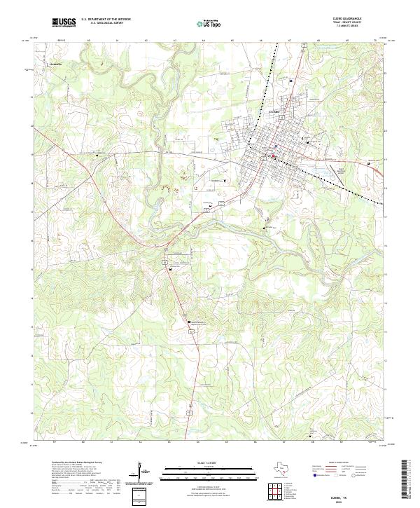 2022 Cuero2022 Print · USGSCuero and the winding Guadalupe River valley are captured here in the early twenty-first century. Genealogists and local historians can trace numerous rural burial sites like Antioch Missionary Baptist Church Cem and Lost Creek Cem.
 - 2022 Map of Sweet Home, 2022 Print
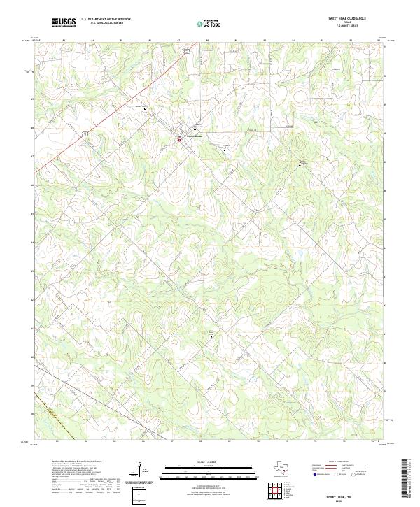 2022 Sweet Home2022 Print · USGSThe community of Sweet Home and the rural stretches of Lavaca County are shown here in the early 2020s. Researchers can trace local lineage through several sites, including Queen of Peace Cem, Bennett Cem, and Yellow Bank Cem near the area's many winding creeks.
 - 2022 Map of Westhoff, 2022 Print
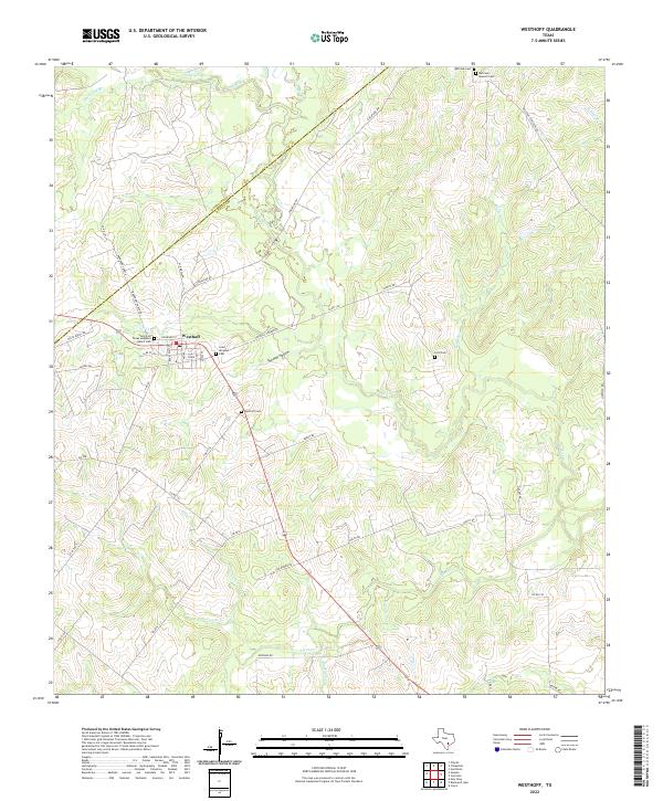 2022 Westhoff2022 Print · USGSModern-day DeWitt County retains the footprint of its earlier ranching and transport roots in this 2020s survey. Genealogists can trace family heritage through numerous rural burial sites including Westhoff Cem, Saint Aloysius Cem, and Lord Cem.
 - 2022 Map of New Davy, 2022 Print
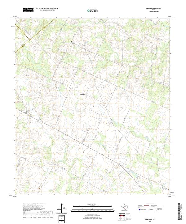 2022 New Davy2022 Print · USGSDeWitt County's rolling ranch lands and creek valleys are documented in this recent survey. Local researchers can locate family-named landmarks and historic burial sites such as House Cem, Sandy Gate Cem, and the settlement of Gruenau.
 - 2022 Map of Cheapside, 2022 Print
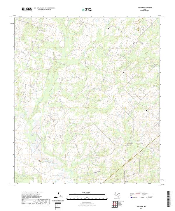 2022 Cheapside2022 Print · USGSThe Gonzales and DeWitt county line comes alive in this study of the rural Cheapside area during the early twenty-first century. Genealogists can trace family footprints across several remote burial sites, including Allen Jones Cem and Rupert Cem.
 - 2022 Map of Terryville, 2022 Print
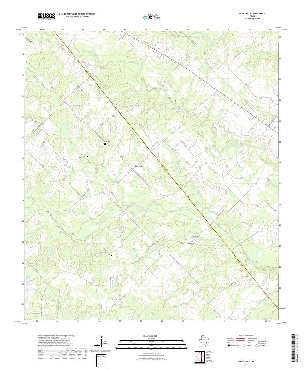 2022 Terryville2022 Print · USGSThe DeWitt and Lavaca county line in the early 2020s remains a landscape of quiet rural crossroads and family history. Researchers can trace the heritage of the Terryville community through local landmarks like County Line Cem and Carroll Lake.
 - 2022 Map of Nursery, 2022 Print
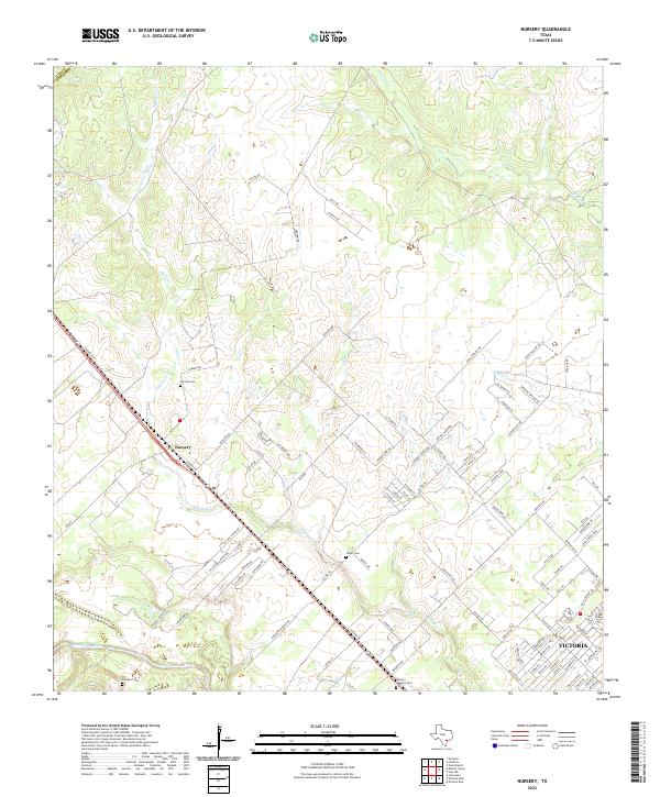 2022 Nursery2022 Print · USGSThe outskirts of Victoria and the community of Nursery are captured here during a period of modern suburban transition. Genealogists can locate several family and community burial grounds, including Nursery Cem, Oliver Cem, and De Leon Cem.
Showing maps 1-25 of 30
Top cities of DeWitt County
Frequently asked questions
- What are the different types of historical maps available for DeWitt County?
- What is the oldest map of DeWitt County?
- Where can I purchase historical maps of DeWitt County for my home or office?
- Where can I download high-res historical maps of DeWitt County?
- Are there historical topographic maps available for DeWitt County?
- Is there historical aerial imagery available for DeWitt County?
- Where are historical maps of DeWitt County sourced from?