2000s (21st Century) Maps of DeWitt County, Texas
Explore 150 historic maps of DeWitt County from the 2000s (21st Century). These maps offer a rare glimpse into what life looked like during the 2000s — showing old roads, neighborhoods, homes, and landmarks that have changed or disappeared over time.
Whether you're researching your family's past, planning a metal detecting trip, or studying how DeWitt County's landscape evolved across the 2000s, these high-resolution maps are a powerful tool for exploring the history of this region.
- Focus on a specific era: All maps on this page are from the 2000s, giving you a focused view of this time period.
- See what’s changed: Compare century-old streets, trails, and buildings to today's modern landscape using overlays and satellite layers.
- Research with precision: Use these maps for genealogy, historical research, land use analysis, or educational projects.
- View, download, or print: Maps are fully viewable online in high resolution, and can be downloaded or printed for your own records.
Start exploring DeWitt County's history through authentic maps from the 2000s. This is your window into the past.
DeWitt County, TX maps
(150)- 2010 Map of Ecleto, 2010 Print
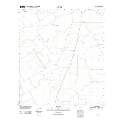 2010 Ecleto2010 Print · USGSKarnes County, Texas, at the turn of the decade is depicted here as a landscape of small settlements and active oil production. Researchers can locate family landmarks like the Treybig Cemetery or trace the drainage of Ecleto Creek and Dry Ecleto Creek.
 - 2010 Map of Garfield, 2010 Print
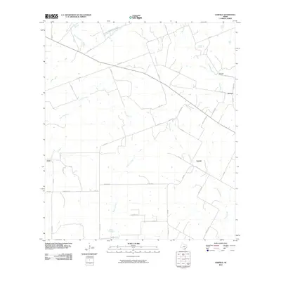 2010 Garfield2010 Print · USGSDeWitt County in the early twenty-first century remains a landscape of ranching roads and quiet rural settlements. Genealogists can trace family footprints through names like Dworaczyk Rd or locate ancestors at the Salt Creek Cemetery.
 - 2010 Map of Yorktown West, 2010 Print
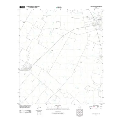 2010 Yorktown West2010 Print · USGSDeWitt County, Texas, at the opening of the 2010s shows a landscape of cattle ranches and oil production. Trace family landholdings and rural landmarks near Yorktown, Nordheim, and the Roeder Oil Field while exploring the banks of Manahuilla Creek.
 - 2010 Map of Runge SE, 2010 Print
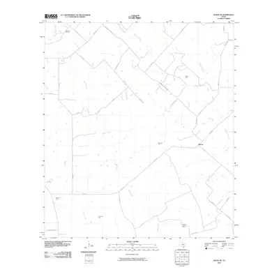 2010 Runge SE2010 Print · USGSGoliad County is shown here in the early twenty-first century, revealing a landscape defined by ranching roads and extensive energy production. Genealogists and local historians can trace family-named routes like Pokluda Rd near the Slick Oil Field and Melrose.
 - 2010 Map of Sample, 2010 Print
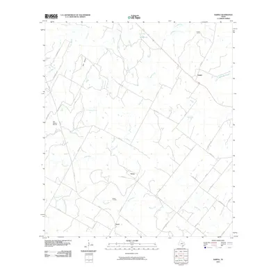 2010 Sample2010 Print · USGSGonzales County at the turn of the decade is a landscape of creek-fed ranchlands and small rural hubs. You can trace family history at the Sample Cemetery and Billings Cemetery, or locate the settlements of Yokum and Nopal.
 - 2010 Map of Yorktown East, 2010 Print
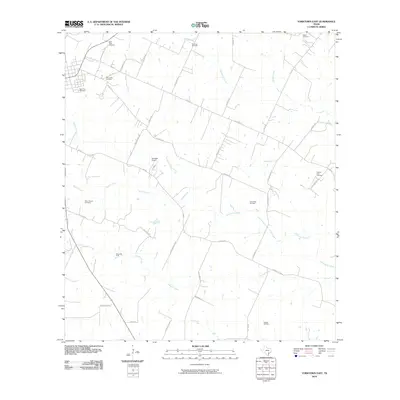 2010 Yorktown East2010 Print · USGSDeWitt County in the early 2000s reflects a landscape of traditional ranching and modern energy production. Researchers can trace family history through several landmarks like the Menn-Treude Cemetery, Rabke Cemetery, and the Henze Oil Field.
 - 2010 Map of Yoakum, 2010 Print
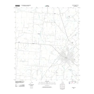 2010 Yoakum2010 Print · USGSYoakum and its surrounding ranchlands are shown in great detail during the early twenty-first century. Genealogists and local historians can trace family-named roads and landmarks, from the Saint Joseph Cemetery to rural outposts like Petersville and Pearl City.
 - 2010 Map of Concrete, 2010 Print
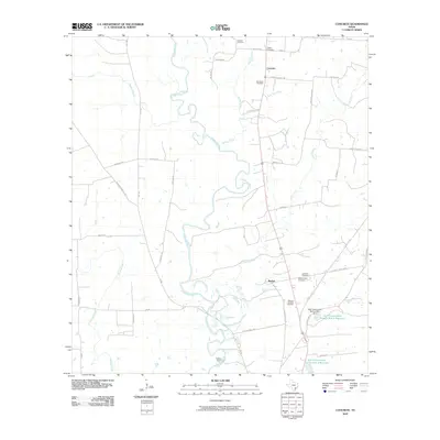 2010 Concrete2010 Print · USGSDeWitt County at the start of the 2010s remains a landscape of quiet river bends and family heritage. Researchers can trace land ties and local history through several burial grounds like Nelms Cemetery and the rural communities of Concrete and Buchel.
 - 2010 Map of Meyersville, 2010 Print
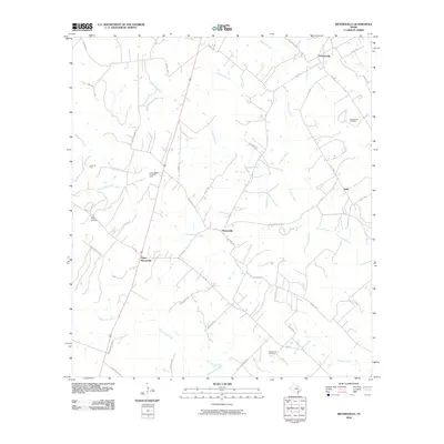 2010 Meyersville2010 Print · USGSDeWitt County comes into focus at the start of the 21st century, showing a rural landscape defined by creek-side settlements and energy production. Researchers can locate family landmarks like Saint Joseph Cemetery or trace the early oil and gas industry at the Cottonwood Creek Oil Field and Arneckeville Gas Field.
 - 2010 Map of Ander, 2010 Print
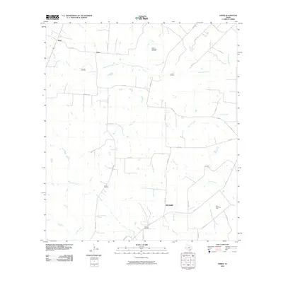 2010 Ander2010 Print · USGSCoastal prairie and creek-fed ranch lands in Goliad County are mapped here in the early twenty-first century. Family history researchers can locate several rural burial grounds, including Danforth Cemetery and Franklin Cemetery, alongside the small communities of Weser and Ander.
 - 2010 Map of Edgar, 2010 Print
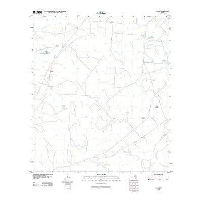 2010 Edgar2010 Print · USGSDeWitt County ranch lands and small rural settlements are documented here in the early 2000s. Researchers can locate family burial sites at Evergreen or Alexander Cemetery, and trace local roads like Old Yoakum Rd near Edgar.
 - 2010 Map of Westhoff, 2010 Print
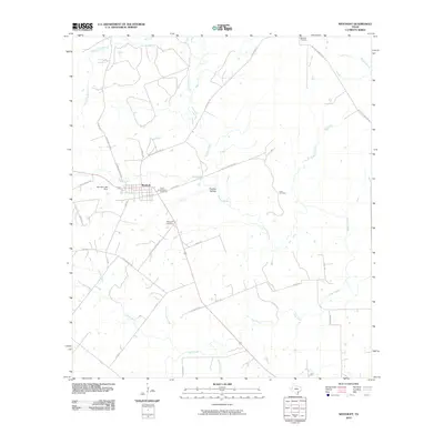 2010 Westhoff2010 Print · USGSWesthoff and the surrounding DeWitt County ranch lands are detailed here during the early twenty-first century. Genealogists and local historians can trace family-named sites like Lord Cemetery, Saint Aloysius Cemetery, and the old ranch roads near Thomas Hollow.
 - 2010 Map of Verhelle, 2010 Print
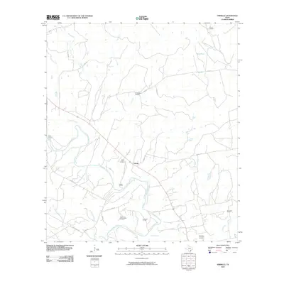 2010 Verhelle2010 Print · USGSDeWitt County, Texas, is captured here in the early 21st century as a landscape defined by the winding Guadalupe River and active energy production. Researchers can locate several burial sites including Burns Station Cemetery and the Verhelle Oil Field near the settlement of Verhelle.
 - 2010 Map of Shiner, 2010 Print
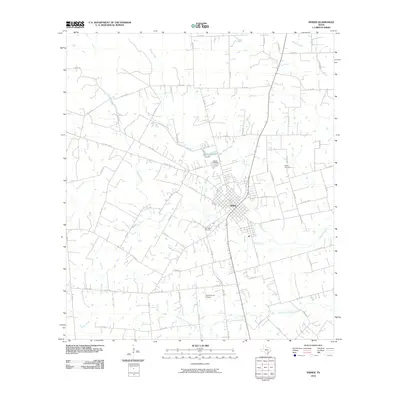 2010 Shiner2010 Print · USGSThe community of Shiner and its surrounding ranchlands are documented here in the early twenty-first century. Genealogists and local historians can trace family properties near Bunjus Cemetery, San Pedro Cemetery, and the banks of Boggy Creek.
 - 2010 Map of Hochheim, 2010 Print
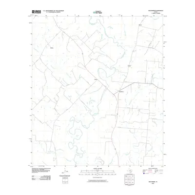 2010 Hochheim2010 Print · USGSDeWitt County ranch lands and river bottoms are captured here during the first decade of the millennium. Local historians can trace family ties through Ebenezer Cemetery and the rural communities of Hochheim and Steen along the Guadalupe River.
 - 2010 Map of Hamon, 2010 Print
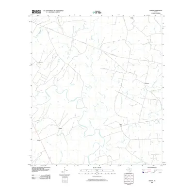 2010 Hamon2010 Print · USGSGonzales County is shown in the first decade of the new millennium as a landscape of cattle ranches and winding river bottoms. Genealogists and local historians can trace family land near Hamon and Glaze City, or locate the historic Dilworth Cemetery and Abercrombie Ranch.
 - 2010 Map of Cheapside, 2010 Print
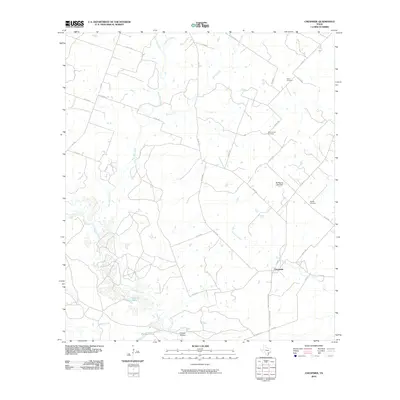 2010 Cheapside2010 Print · USGSThe rural crossroads of Cheapside remained a quiet agricultural hub in Gonzales County during the early 2000s. Genealogists and local historians can trace family roots through several landmarks, including Mount Enon Cemetery, Gates Cemetery, and Fivemile Lake.
 - 2010 Map of Weesatche, 2010 Print
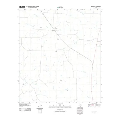 2010 Weesatche2010 Print · USGSGoliad County ranching and energy production are at the forefront during the early twenty-first century. Genealogists and researchers can locate family sites near Woodlawn Cemetery, Weesatche, and several major energy sites like the Marshall Gas Field.
 - 2010 Map of Cuero, 2010 Print
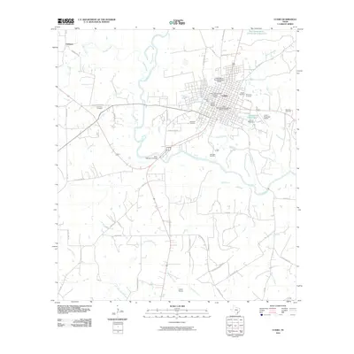 2010 Cuero2010 Print · USGSDeWitt County comes into sharp focus during the early twenty-first century as the city of Cuero expands near the banks of the Guadalupe River. Researchers can trace heritage sites through the Cuero Commercial Historic District or locate family plots at Hillside Cemetery and McCrabb Cemetery.
 - 2010 Map of Fordtran, 2010 Print
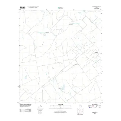 2010 Fordtran2010 Print · USGSFordtran and the surrounding Victoria County ranchlands are shown here in the early twenty-first century, a period defined by cattle operations and oil production. Researchers can trace the water systems and rural roads that shaped this community, from Kuester Lake to the legacy of the Garrett-Gonzales School Rd.
 - 2010 Map of Choate, 2010 Print
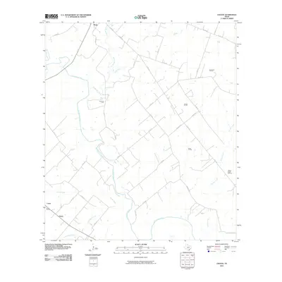 2010 Choate2010 Print · USGSKarnes County in the early twenty-first century is a landscape where rural life and energy production intersect along the San Antonio River. Researchers can locate historic rural sites like Choate Cemetery or trace the extent of the Runge Oil Field and the Cabeza Creek Refinery.
 - 2010 Map of New Davy, 2010 Print
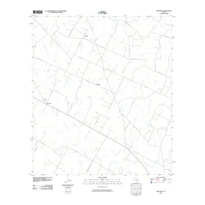 2010 New Davy2010 Print · USGSDeWitt County's rural landscape is captured here in the early twenty-first century, showing the enduring ranching and farming communities near Gruenau. Researchers can trace local lineage through sites like Sand Gate Cemetery and the eponymous Gohlke School Rd.
 - 2010 Map of Runge, 2010 Print
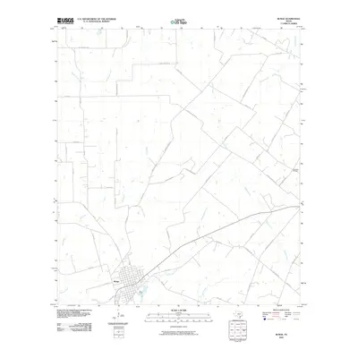 2010 Runge2010 Print · USGSRunge and the surrounding Karnes County ranchlands are documented here during a period of modern agricultural continuity. Genealogists and local historians can trace family lands near Simpson Ranch or locate burials at the Nordheim Cemetery along Cabeza Creek.
 - 2010 Map of Hope, 2010 Print
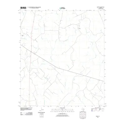 2010 Hope2010 Print · USGSLavaca County's rural landscape is captured here in the early twenty-first century, showing the small community of Hope and its surrounding creek networks. Genealogists can locate the Harless Cemetery and trace local routes along Clarks Creek and the Lavaca River.
 - 2010 Map of Terryville, 2010 Print
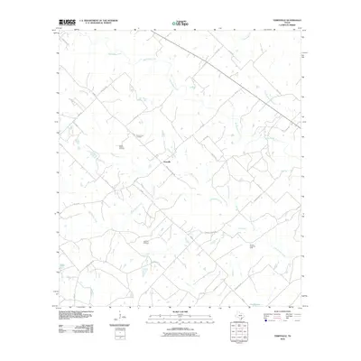 2010 Terryville2010 Print · USGSDeWitt County, Texas, is captured here in the early twenty-first century, showing a rural landscape shaped by ranching and oil. Researchers can trace family history at the Terryville Cemetery and Cook Holland Cemetery or locate industrial sites like the Brushy Creek Oil Field.
Showing maps 1-25 of 150
Top cities of DeWitt County
Frequently asked questions
- What are the different types of historical maps available for DeWitt County?
- What is the oldest map of DeWitt County?
- Where can I purchase historical maps of DeWitt County for my home or office?
- Where can I download high-res historical maps of DeWitt County?
- Are there historical topographic maps available for DeWitt County?
- Is there historical aerial imagery available for DeWitt County?
- Where are historical maps of DeWitt County sourced from?