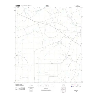
2010 Map of Garfield
USGS Topo · Published 2010About this map
Old Davy, Garfield, and Ecleto are the primary focal points of this rural landscape in DeWitt County. The map reveals a dispersed settlement pattern defined by numerous intermittent waterways, most notably Dry Ecleto Creek and Salt Creek. This network of seasonal drainages, including Thomas Creek and McTennel Creek, dictates the placement of a dense secondary road system. Many of these thoroughfares bear the names of local families, such as Lackey Ranch Rd, Dworaczyk Rd, and Shows Bros Rd, providing a direct link to the area's landownership and agricultural heritage. The Salt Creek Cemetery serves as a significant genealogical landmark near the northeastern corner, situated along Davy Cemetery Rd. The terrain is sparsely populated, with small homesteads connected by a web of county roads and farm-to-market routes like F M 2656.
Find a feature on this map
49 named features on this map. Tap any name to fly to it.
Don’t see what you’re looking for? This feature index may not catch every label — zoom into the map to look around manually.
Map Details
Editions of this 2010 Garfield Map
This is the sole edition of this map. No revisions or reprints were ever made.
Other maps of this area

1920 · Smiley
USGS Topo · 1:125,000

1953 · Beeville
USGS Topo · 1:250,000

1953 · Seguin
USGS Topo · 1:250,000

1956 · Beeville
USGS Topo · 1:250,000

1956 · Karnes City
USGS Topo · 1:62,500

1958 · Seguin
USGS Topo · 1:250,000

1960 · Beeville
USGS Topo · 1:250,000

1960 · Helena
USGS Topo · 1:24,000

1961 · Sample
USGS Topo · 1:24,000

1961 · New Davy
USGS Topo · 1:24,000