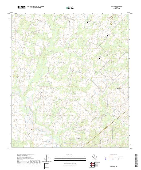
2022 Map of Cheapside
USGS Topo · Published 2022About this map
Cheapside sits near the intersection of several rural routes on the border of Gonzales and DeWitt counties, serving as a focal point for a landscape defined by deep creek valleys and family burial grounds. The settlement is surrounded by watercourses like Sandies Cr and Brushy Cr, which carve through the terrain and create features such as Howell Hollow. This area is particularly rich in genealogical data, preserving the locations of several historic cemeteries including Bellview Cem, Gates Cem, and Mount Efron Cem. The drainage patterns are further marked by Fivemile Lake and Hickory Lake, while a network of county roads like Co RD 298 and Co RD 192 connects the scattered homesteads and pastures that have characterized this part of South Texas for generations.
Find a feature on this map
43 named features on this map. Tap any name to fly to it.
Don’t see what you’re looking for? This feature index may not catch every label — zoom into the map to look around manually.
Map Details
Editions of this 2022 Cheapside Map
This is the sole edition of this map. No revisions or reprints were ever made.
Other maps of this area

1920 · Smiley
USGS Topo · 1:125,000

1953 · Seguin
USGS Topo · 1:250,000

1958 · Seguin
USGS Topo · 1:250,000

1959 · Cost
USGS Topo · 1:24,000

1959 · Hochheim
USGS Topo · 1:24,000

1959 · Gonzales South
USGS Topo · 1:24,000

1959 · Hamon
USGS Topo · 1:24,000

1960 · Concrete
USGS Topo · 1:24,000

1960 · Cheapside
USGS Topo · 1:24,000

1960 · Westhoff
USGS Topo · 1:24,000