Old Maps of Gardendale, Ector County for Genealogy
Trace your family roots with 9 historic maps of Gardendale. These high-res maps reveal old neighborhoods, homesites, landmarks, and streets — helping you uncover where your ancestors lived and how the area evolved over time.
- Explore historic neighborhoods: Identify where your relatives may have lived in the 1800s or 1900s.
- Compare maps over time: Trace the changes in streets, buildings, and landmarks for multi-generational research.
- Perfect for genealogy & ancestry research: Used by family historians and researchers to map out lineage and migration.
These maps are an incredible resource for exploring your personal connection to Gardendale's past.
Gardendale, Ector County maps
(9)- 1954 Map of Hobbs, 1963 Print
 1954 Hobbs1963 Print · USGSThe High Plains and Permian Basin transition is captured here at the height of the mid-century energy boom. Genealogists and industrial historians can trace the foundations of Humble City, locate the Potash Mine and Plant, and follow the Texas-New Mexico RR.2 unique versions available
 - 1958 Map of Hobbs
 1958 Hobbs1958 Print · USGSThe High Plains of the Texas-New Mexico border are shown here during the height of the mid-century oil boom. Genealogists and historians can trace the development of Hobbs, Lovington, and Jal, alongside ranching landmarks like James Ranch and the early Texas-New Mexico Railway.
 - 1968 Map of Gardendale, 1970 Print
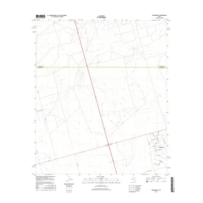
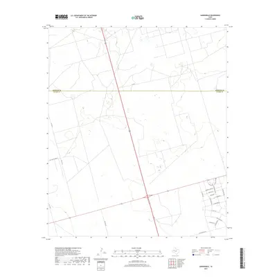
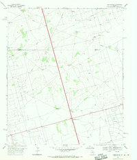 1968 Gardendale1970 Print · USGSThe West Texas oil fields of Andrews and Ector counties are captured here in the late sixties as industrial infrastructure expanded across the basin. Genealogists and historians can locate ranching landmarks like Circle Bar Ranch and early oil towns such as Scharbauer City and Gardendale.2 unique versions available
 - 1991 Map of Andrews, 1992 Print
 1991 Andrews1992 Print · USGSThe West Texas oil country comes into sharp focus in the early nineties, centered on the energy hub of Andrews. Researchers can trace the sprawling infrastructure of the Mabee Oil Field and Goldsmith Oil Field alongside Shafter Lake.
 - 2010 Map of Gardendale, 2010 Print
 2010 Gardendale2010 Print · USGSCovers Gardendale, including Smith Chapel, Ector County, and other nearby areas
 - 2012 Map of Gardendale, 2012 Print
 2012 Gardendale2012 Print · USGSCovers Gardendale, including Smith Chapel, Ector County, and other nearby areas
 - 2016 Map of Gardendale, 2016 Print
 2016 Gardendale2016 Print · USGSCovers Gardendale, including Smith Chapel, Ector County, and other nearby areas
 - 2019 Map of Gardendale, 2019 Print
 2019 Gardendale2019 Print · USGSCovers Gardendale, including Smith Chapel, Ector County, and other nearby areas
 - 2022 Map of Gardendale, 2022 Print
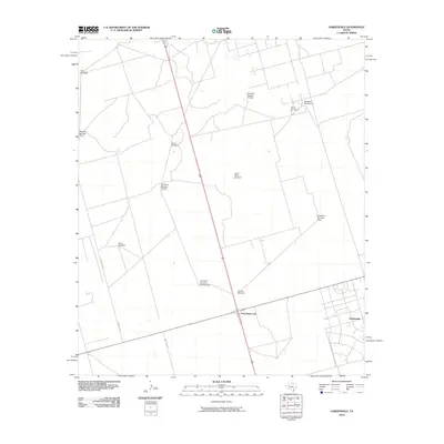
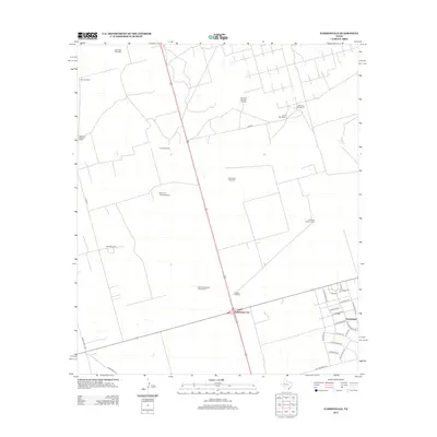
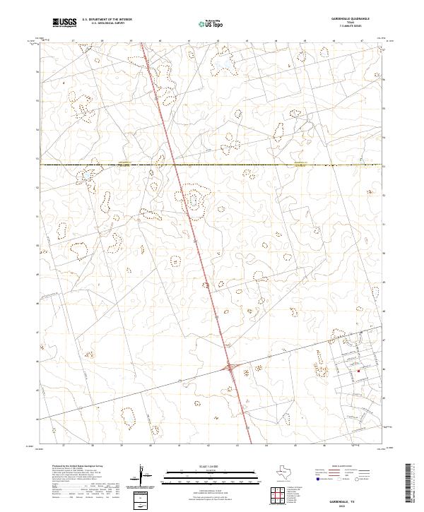 2022 Gardendale2022 Print · USGSThe Permian Basin landscape near the Ector and Andrews county line shows the growth of residential subdivisions north of Odessa. Genealogists and local historians can trace modern street developments like Morning Glory Rd alongside older routes like Wire Line Rd.
End of results
Showing maps 1-9 of 9
Frequently asked questions
- What are the different types of historical maps available for Gardendale?
- What is the oldest map of Gardendale?
- Where can I purchase historical maps of Gardendale for my home or office?
- Where can I download high-res historical maps of Gardendale?
- Are there historical topographic maps available for Gardendale?
- Is there historical aerial imagery available for Gardendale?
- Where are historical maps of Gardendale sourced from?