Old Maps of Odessa, Texas for Hiking & Exploration
Hike through history with 33 historic maps of Odessa. Explore old trails, ghost towns, and forgotten backroads — perfect for outdoor adventurers and local explorers.
- Rediscover forgotten places: Map out old mining camps, roads, and footpaths that no longer exist on modern maps.
- Layer with modern tools: Combine with LiDAR or satellite views to plan hikes through historical terrain.
- Made for exploration: Popular among hikers, overlanders, and local history lovers.
Use these maps to find adventure and explore the hidden past of Odessa.
Odessa, TX maps
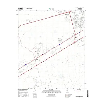
(33)- 1954 Map of Pecos, 1964 Print
 1954 Pecos1964 Print · USGSMid-century West Texas reveals a landscape of expanding oil fields and cattle ranching along the winding Pecos River. Local historians can trace family ranch lands like Goodrich Ranch, follow the Texas and Pacific rails, or locate the historic Horsehead Crossing.3 unique versions available
 - 1957 Map of Pecos
 1957 Pecos1957 Print · USGSWest Texas in the mid-fifties is a landscape of desert oil fields and vital rail corridors. Researchers can trace the sprawling Pyote Air Force Base, the historic Horsehead Crossing, and the rail stops at Mentone and Saragosa.
 - 1964 Map of Odessa NE, 1966 Print
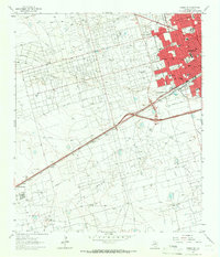
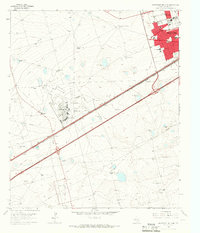
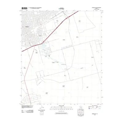
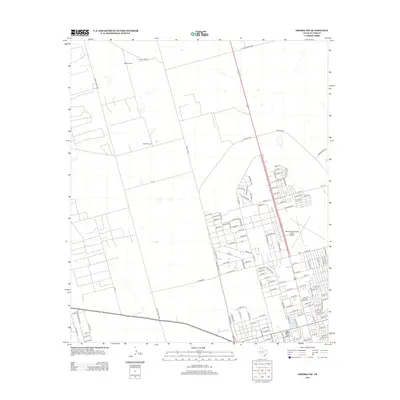
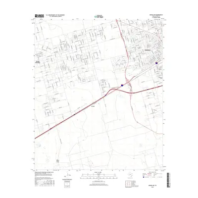
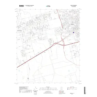
 1964 Odessa NE1966 Print · USGSOdessa and the Permian Basin plains are seen here during a period of rapid mid-century growth. Researchers can trace the development of neighborhood institutions like Permian High Sch and Sunset Memorial Gardens or the limits of the Headlee Field.4 unique versions available
 - 1964 Map of Odessa SW, 1966 Print
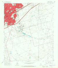
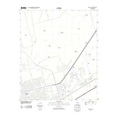
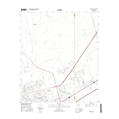
 1964 Odessa SW1966 Print · USGSOdessa's midcentury expansion meets the booming oil fields of the Permian Basin in the 1960s. Genealogists and historians can trace the development of local neighborhoods through Odessa College, the Odessa Meteor Crater, and the industrial Carbon Black Plant.4 unique versions available
 - 1964 Map of Odessa NW, 1966 Print
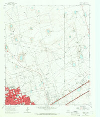
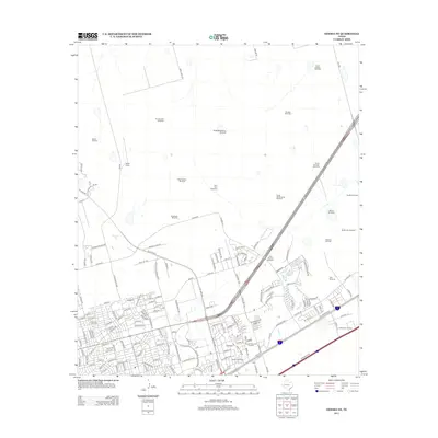
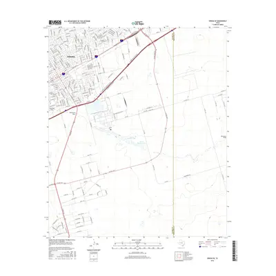
 1964 Odessa NW1966 Print · USGSOdessa pushes into the Permian Basin during the mid-sixties oil boom, transforming the arid landscape into an industrial and suburban hub. Genealogists and historians can trace the growth of neighborhoods like Greenfield Acres or locate local landmarks including Goliad Sch and the Drive-in Theater.4 unique versions available
 - 1964 Map of Odessa SE, 1966 Print
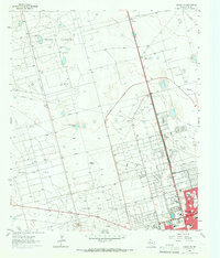
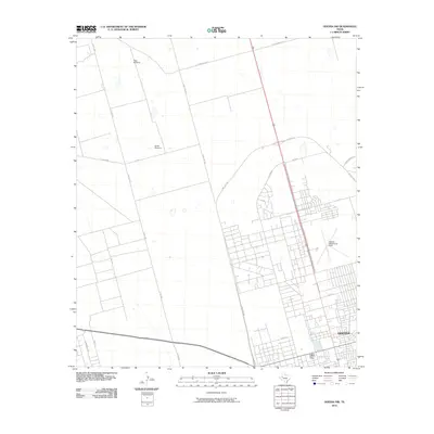
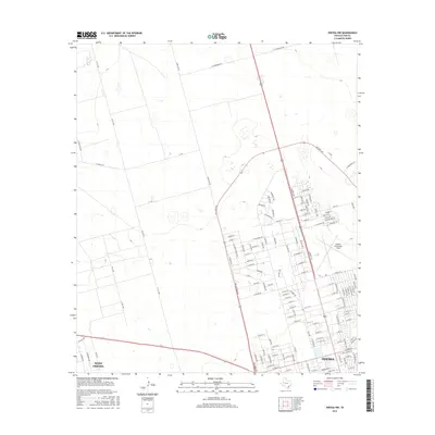
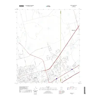
 1964 Odessa SE1966 Print · USGSThe expansion of the Permian Basin energy sector is on full display in the mid-1960s as residential neighborhoods push into the West Texas scrub. Trace the local infrastructure from Blackshear Stadium to the sprawling Headlee Oil Field and the Walters Ranch.3 unique versions available
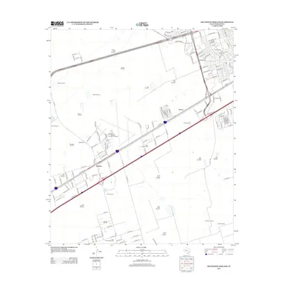
 - 1965 Map of Southwest Midland, 1966 Print
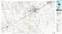
 1965 Southwest Midland1966 Print · USGSMidland and the surrounding Permian Basin are shown during a period of rapid mid-century growth and industrial development. Researchers can trace local landmarks like Midland Air Terminal, the Warfield Oil Field, and schools like Jane Long Sch.2 unique versions available
 - 1986 Map of Odessa
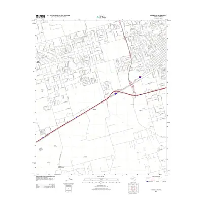
 1986 Odessa1986 Print · USGSThe Permian Basin’s oil-driven landscape is revealed in the mid-eighties, showing the sprawl of Odessa and Midland. Trace the growth of energy infrastructure at the South Cowden Oil Field or explore the unique Sand Dunes of Monahans Sand Hills State Park.2 unique versions available
 - 2010 Map of Southwest Midland, 2010 Print
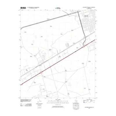 2010 Southwest Midland2010 Print · USGSCovers Odessa, including Midland, Nobles Ranch, and other nearby areas
 - 2010 Map of Odessa SW, 2010 Print
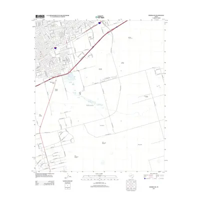
 2010 Odessa SW2010 Print · USGSCovers Odessa, including Moss Ranch, Westside, and other nearby areas
 - 2010 Map of Odessa NE, 2010 Print
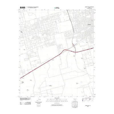
 2010 Odessa NE2010 Print · USGSCovers Odessa, including Midland, Ratliff Ranch, and other nearby areas
 - 2010 Map of Odessa SE, 2010 Print
 2010 Odessa SE2010 Print · USGSCovers Odessa, including Double Tree Ranch, Ector County, and other nearby areas
 - 2010 Map of Odessa NW, 2010 Print
 2010 Odessa NW2010 Print · USGSCovers Odessa, including Black Gold District, Barrow Family Ranch, and other nearby areas
 - 2012 Map of Odessa NE, 2012 Print
 2012 Odessa NE2012 Print · USGSCovers Odessa, including Midland, Ratliff Ranch, and other nearby areas
 - 2012 Map of Southwest Midland, 2012 Print
 2012 Southwest Midland2012 Print · USGSCovers Odessa, including Midland, Nobles Ranch, and other nearby areas
 - 2012 Map of Odessa SW, 2012 Print
 2012 Odessa SW2012 Print · USGSCovers Odessa, including Moss Ranch, Westside, and other nearby areas
 - 2012 Map of Odessa SE, 2012 Print
 2012 Odessa SE2012 Print · USGSCovers Odessa, including Double Tree Ranch, Ector County, and other nearby areas
 - 2013 Map of Odessa NW, 2013 Print
 2013 Odessa NW2013 Print · USGSCovers Odessa, including Black Gold District, Barrow Family Ranch, and other nearby areas
 - 2016 Map of Odessa NW, 2016 Print
 2016 Odessa NW2016 Print · USGSCovers Odessa, including Black Gold District, Barrow Family Ranch, and other nearby areas
 - 2016 Map of Odessa SW, 2016 Print
 2016 Odessa SW2016 Print · USGSCovers Odessa, including Moss Ranch, Westside, and other nearby areas
 - 2016 Map of Odessa SE, 2016 Print
 2016 Odessa SE2016 Print · USGSCovers Odessa, including Double Tree Ranch, Ector County, and other nearby areas
 - 2016 Map of Odessa NE, 2016 Print
 2016 Odessa NE2016 Print · USGSCovers Odessa, including Midland, Ratliff Ranch, and other nearby areas
 - 2016 Map of Southwest Midland, 2016 Print
 2016 Southwest Midland2016 Print · USGSCovers Odessa, including Midland, Nobles Ranch, and other nearby areas
 - 2019 Map of Odessa SW, 2019 Print
 2019 Odessa SW2019 Print · USGSCovers Odessa, including Moss Ranch, Westside, and other nearby areas
 - 2019 Map of Odessa NE, 2019 Print
 2019 Odessa NE2019 Print · USGSCovers Odessa, including Midland, Ratliff Ranch, and other nearby areas
Showing maps 1-25 of 33
Top cities near Odessa
Top neighborhoods of Odessa
- Headlee Oil Field historical maps
- Westside historical maps
- Mission historical maps
- Lawndale historical maps
- Parks Bell Ranch North historical maps
- Parks Legado Town Center historical maps
See more
Frequently asked questions
- What are the different types of historical maps available for Odessa?
- What is the oldest map of Odessa?
- Where can I purchase historical maps of Odessa for my home or office?
- Where can I download high-res historical maps of Odessa?
- Are there historical topographic maps available for Odessa?
- Is there historical aerial imagery available for Odessa?
- Where are historical maps of Odessa sourced from?