
1964 Map of Odessa SE
USGS Topo · Published 1966About this map
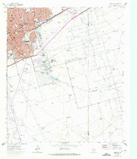
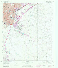
The Texas and Pacific railroad bisects the landscape of Ector County, serving as the industrial spine for the developing city of Odessa. In the mid-1960s, the urban grid pushes southeast with numerous educational institutions including Gonzales Sch, Bonham Jr H S, and Reagan Sch. The city's growth is clearly tied to the surrounding energy landscape, with the map documenting the intensive infrastructure of the Headlee Oil Field, Dora Roberts Oil Field, and South Cowden Oil Field. Beyond the red-tinted residential blocks, the terrain is defined by extractive and agricultural landmarks such as a large Refinery, a Chemical Plant, and isolated water sources like the Hendricks Windmills and Dumbground Windmill. The presence of the Walters Ranch and various named windmills reflects the persistence of cattle ranching alongside the booming oil and rail economy of West Texas.
Find a feature on this map
52 named features on this map. Tap any name to fly to it.
Don’t see what you’re looking for? This feature index may not catch every label — zoom into the map to look around manually.
Map Details
Editions of this 1964 Odessa SE Map
3 editions found
Other maps of this area

1954 · Pecos
USGS Topo · 1:250,000

1957 · Pecos
USGS Topo · 1:250,000

1964 · Odessa NE
USGS Topo · 1:24,000

1964 · Odessa SW
USGS Topo · 1:24,000

1964 · Odessa NW
USGS Topo · 1:24,000

1964 · Parks
USGS Topo · 1:24,000

1964 · Clark Brothers Ranch
USGS Topo · 1:24,000

1965 · Southwest Midland
USGS Topo · 1:24,000

1965 · South Cowden Ranch
USGS Topo · 1:24,000

1968 · Benge Corner NW
USGS Topo · 1:24,000